Uphill
199m
Length
4km
Duration
1h30min
Elev gain
199m
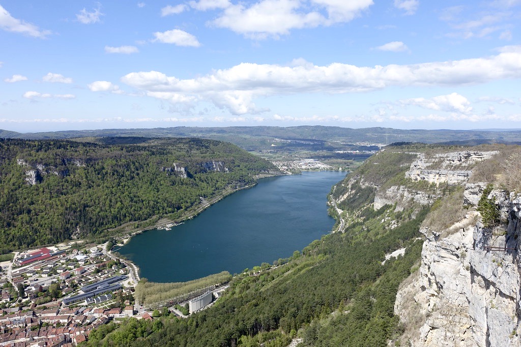
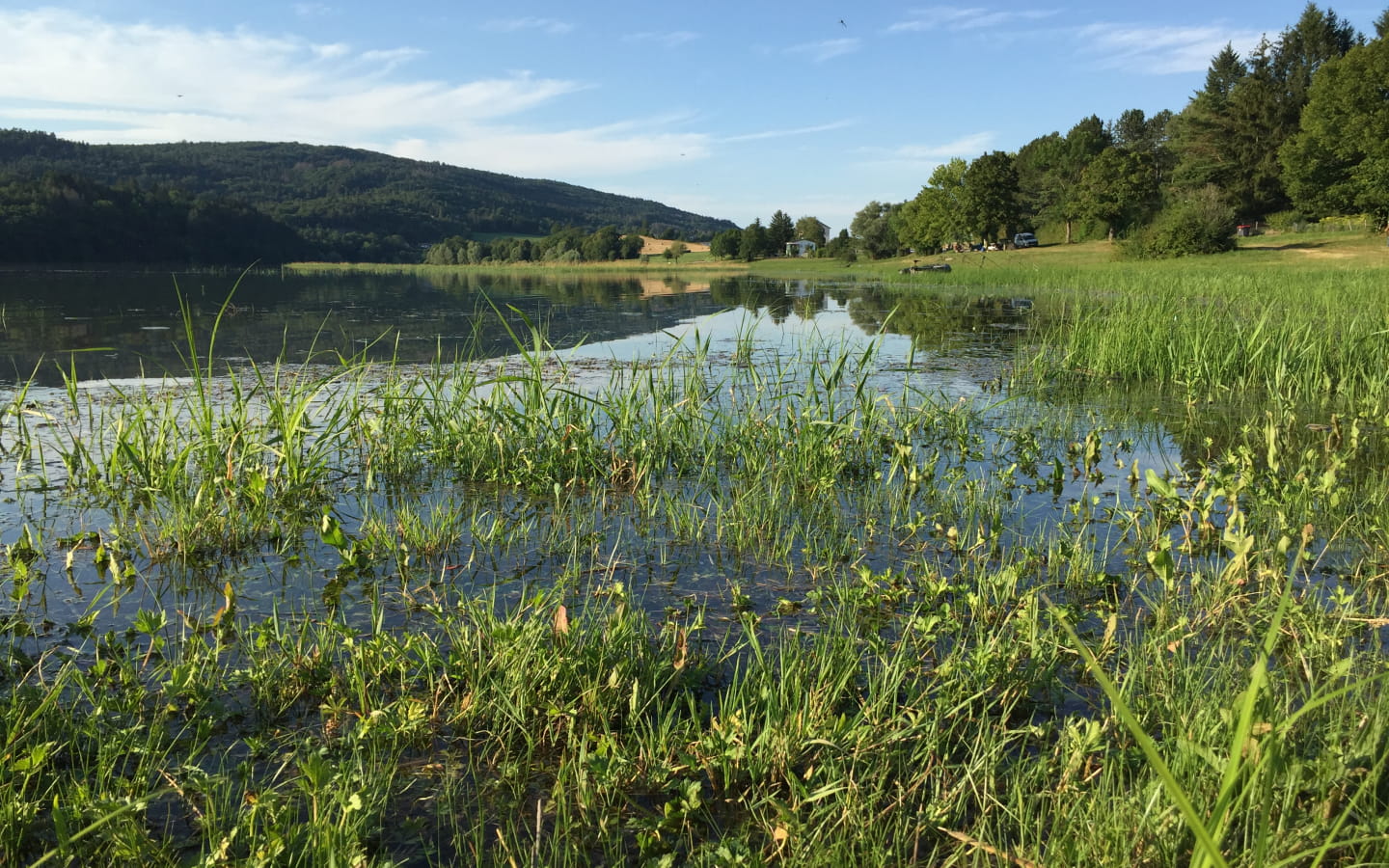
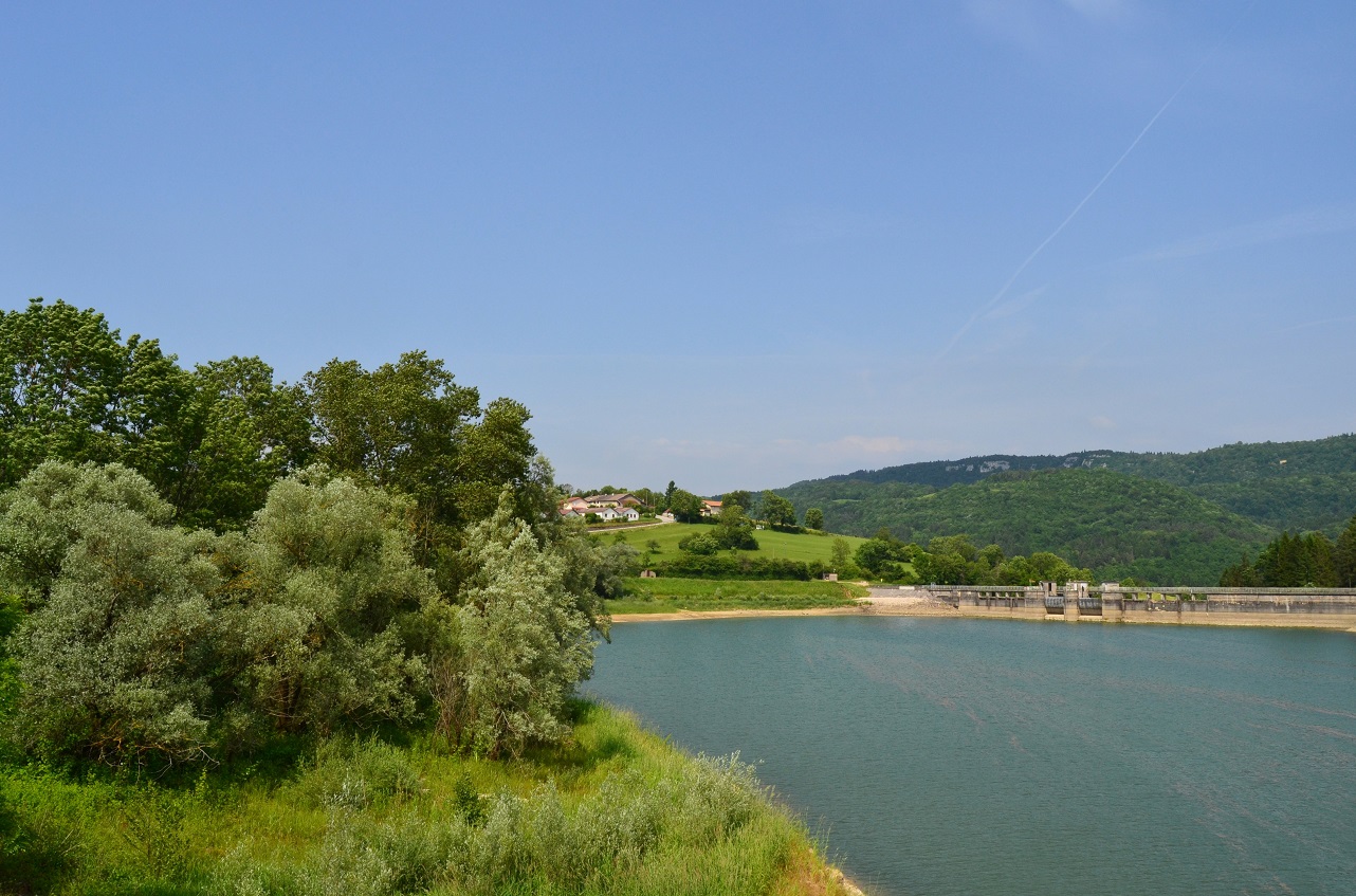
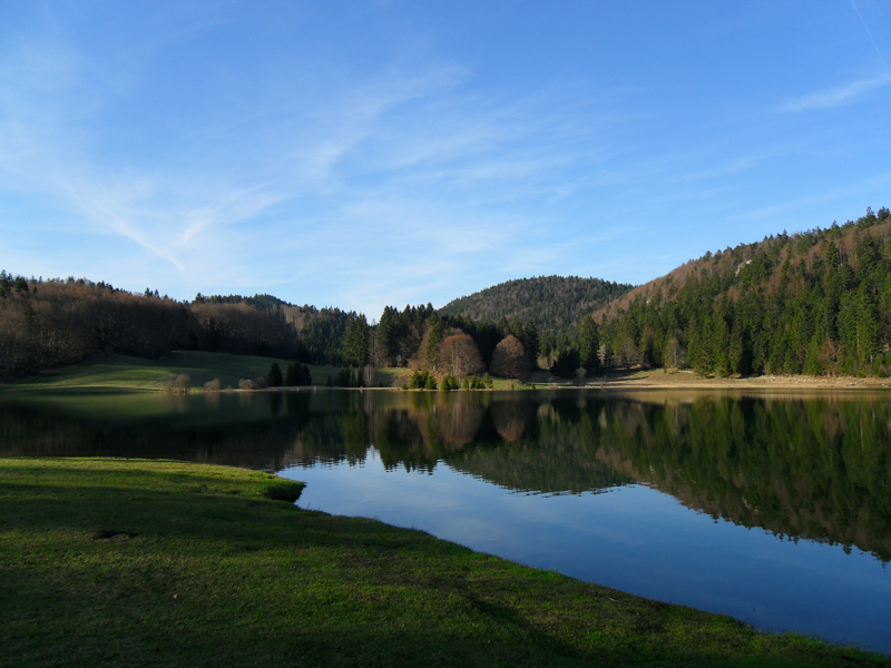
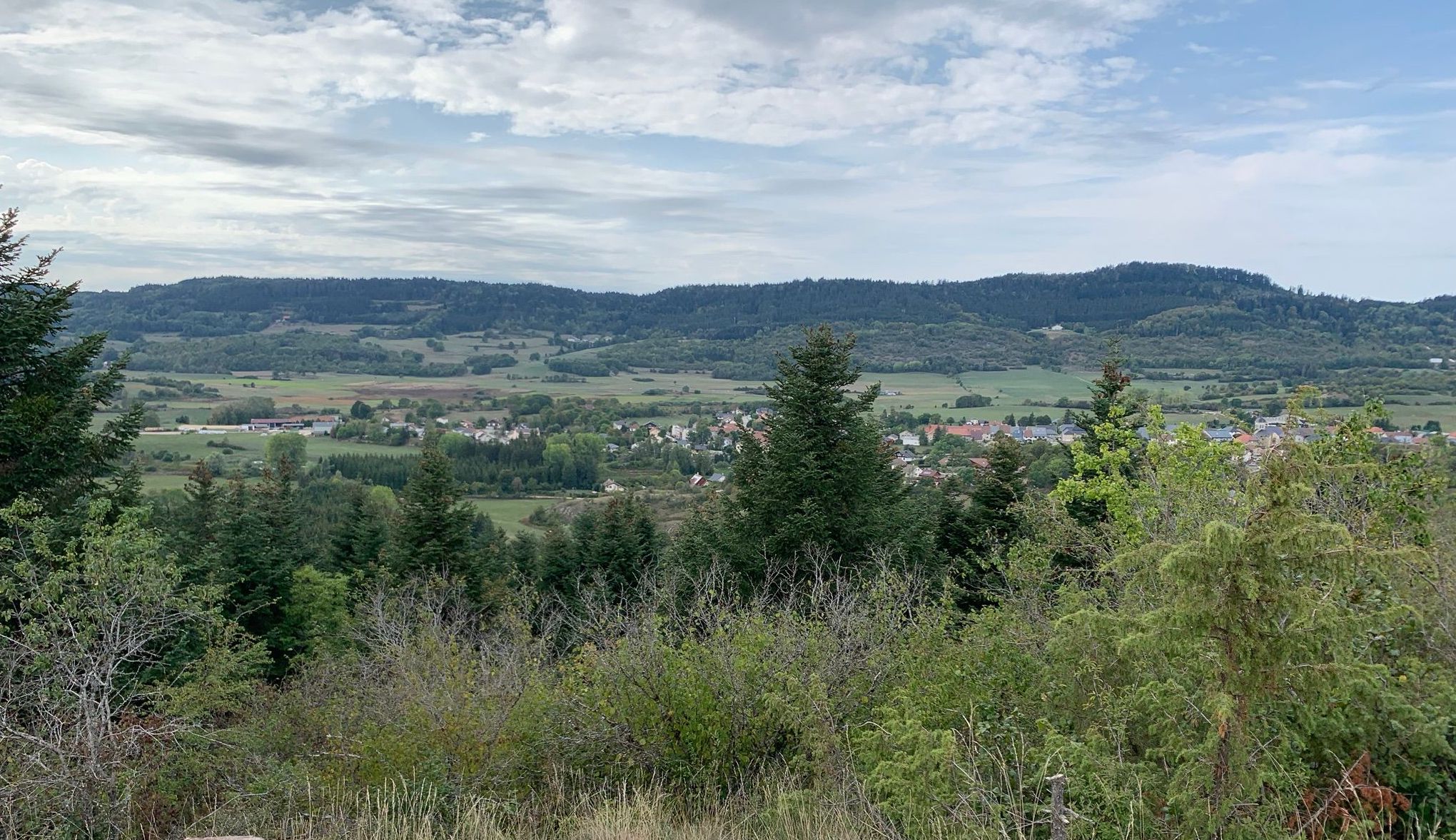
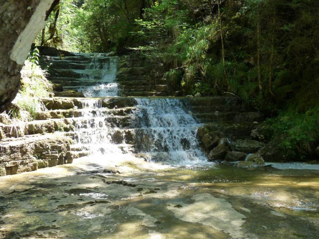
Starting from the village of Landeyron, this circuit makes a loop along the river of the same name. Marked out by small waterfalls, this walk takes on its full meaning on the way back where the show never stops.
To do preferably in spring, as it is common for the river to be dry in summer.

Already more than 200,000 users!
Uphill
199m
Highest point
691m
Downhill
199m
Lowest point
484m
Route type
Loop
Download the map on your smartphone to save battery and rest assured to always keep access to the route, even without signal.
Includes IGN France and Swisstopo.
I indicate whether dogs are allowed or prohibited on this trail
All year
1 rating
Also enjoy:

Already more than 200,000 users!