Uphill
505m
Length
9km
Duration
4h
Elev gain
505m
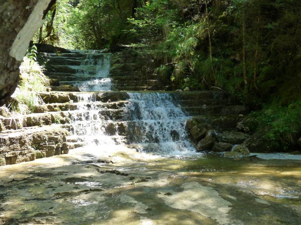
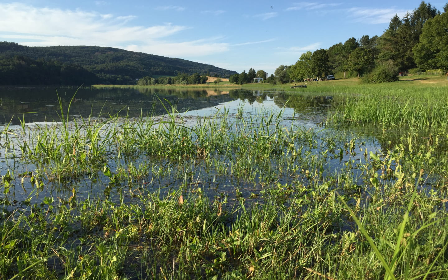
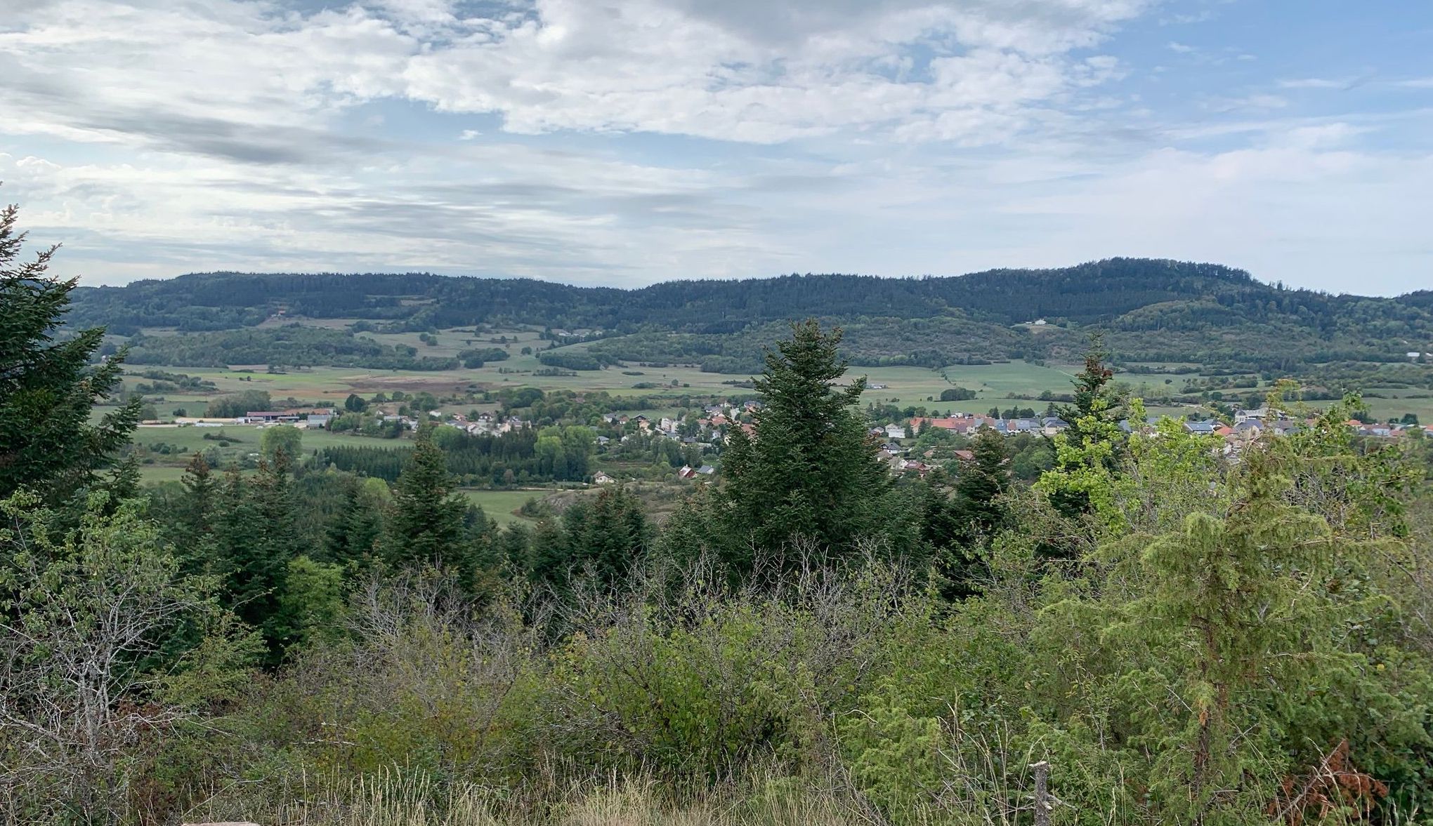
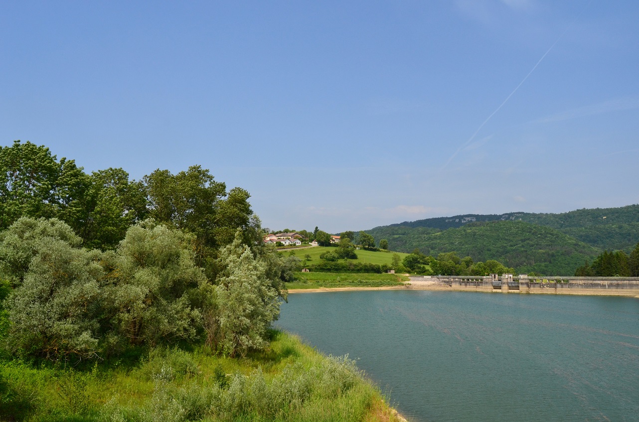
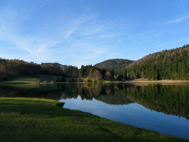
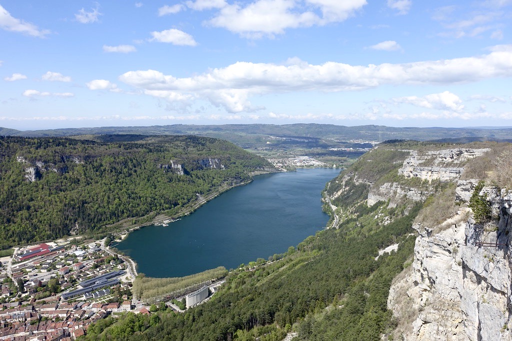
Departing from Nantua, this is a hike to discover several belvederes overlooking the city and its famous lake.

Already more than 200,000 users!
Uphill
505m
Highest point
924m
Downhill
505m
Lowest point
464m
Route type
Loop
Download the map on your smartphone to save battery and rest assured to always keep access to the route, even without signal.
Includes IGN France and Swisstopo.
I indicate whether dogs are allowed or prohibited on this trail
Can be difficult in Winter
2 ratings
Also enjoy:

Already more than 200,000 users!