Uphill
519m
Length
11km
Duration
4h
Elev gain
519m
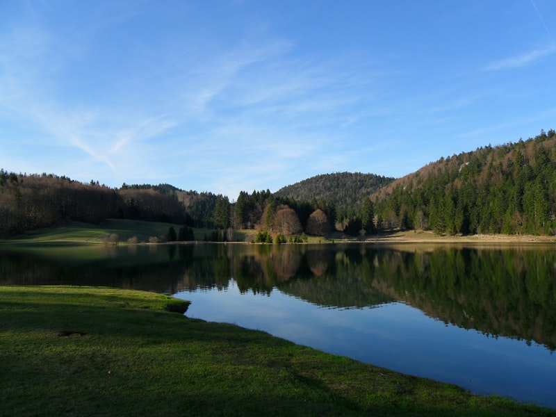
Bordered by pine trees, spruce and beech trees, Lac Genin is nicknamed "Little Canada". A must in the surroundings of Oyonnax.

Already more than 200,000 users!
Uphill
519m
Highest point
975m
Downhill
516m
Lowest point
662m
Route type
Loop
Download the map on your smartphone to save battery and rest assured to always keep access to the route, even without signal.
Includes IGN France and Swisstopo.
I indicate whether dogs are allowed or prohibited on this trail
Can be difficult in Winter
2 ratings
Circulation compliquée autour du lac ce serait bien de faire une circulation en sens unique des gens roulent très vite dans les virages
Also enjoy:

Already more than 200,000 users!


