Uphill
448m
Length
10km
Duration
3h30min
Elev gain
448m
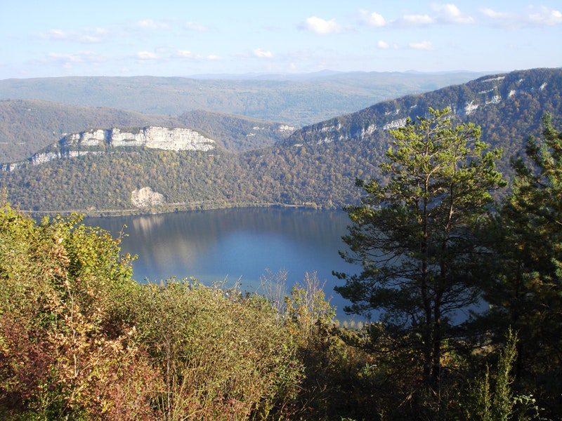
Ascent of a peak which gives a very nice view of the Coiselet lake and the Haut-Jura. Presence of ruins of a 13th century castle.

Already more than 200,000 users!
Uphill
448m
Highest point
782m
Downhill
448m
Lowest point
327m
Route type
Loop
Download the map on your smartphone to save battery and rest assured to always keep access to the route, even without signal.
Includes IGN France and Swisstopo.
I indicate whether dogs are allowed or prohibited on this trail
All year
2 ratings
Also enjoy:

Already more than 200,000 users!


