Uphill
143m
Length
8km
Duration
2h30min
Elev gain
143m
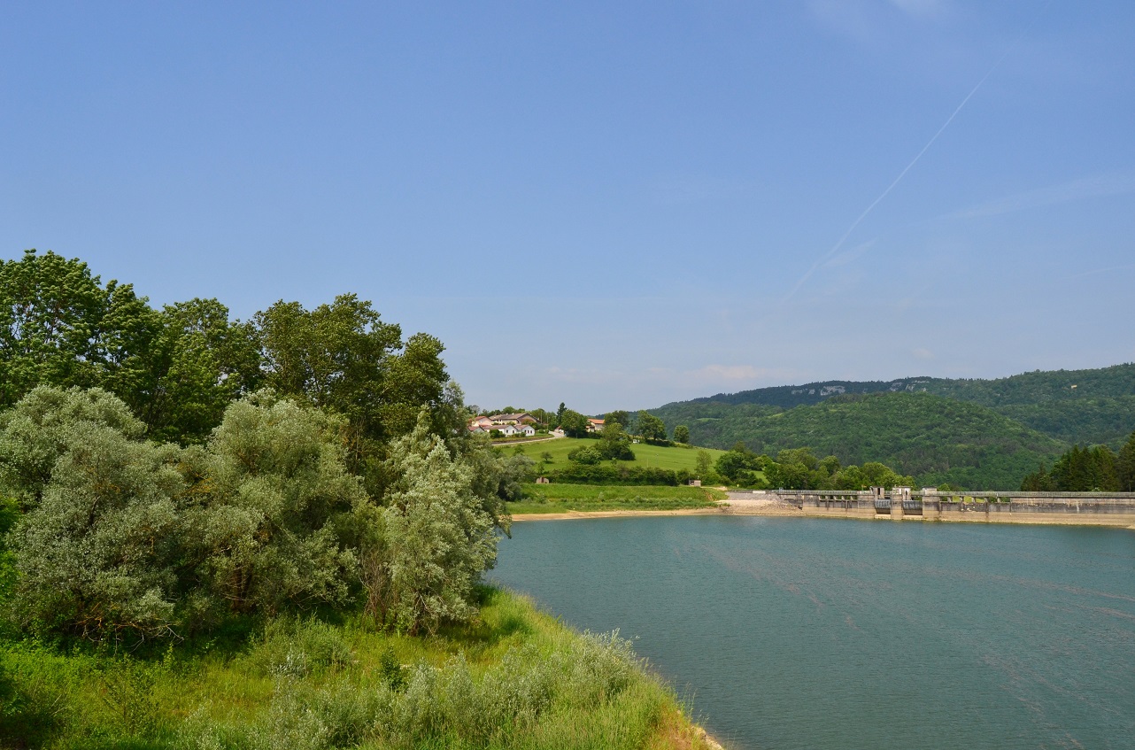
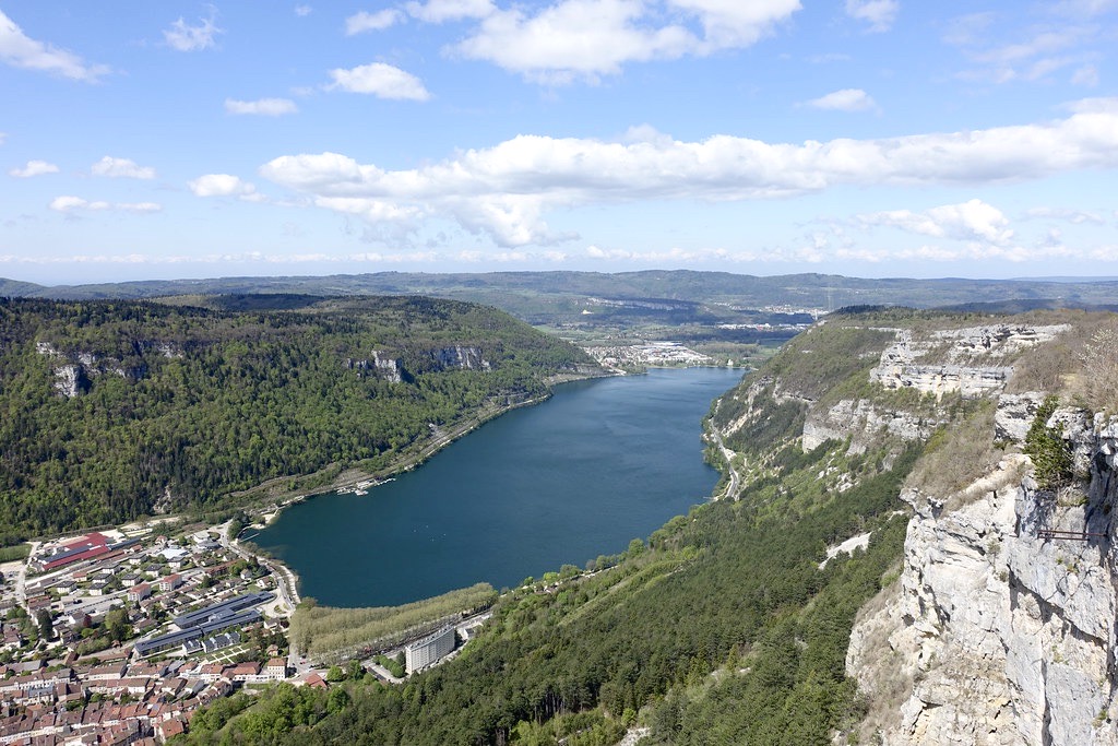
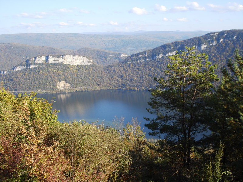
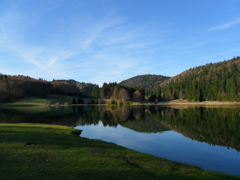
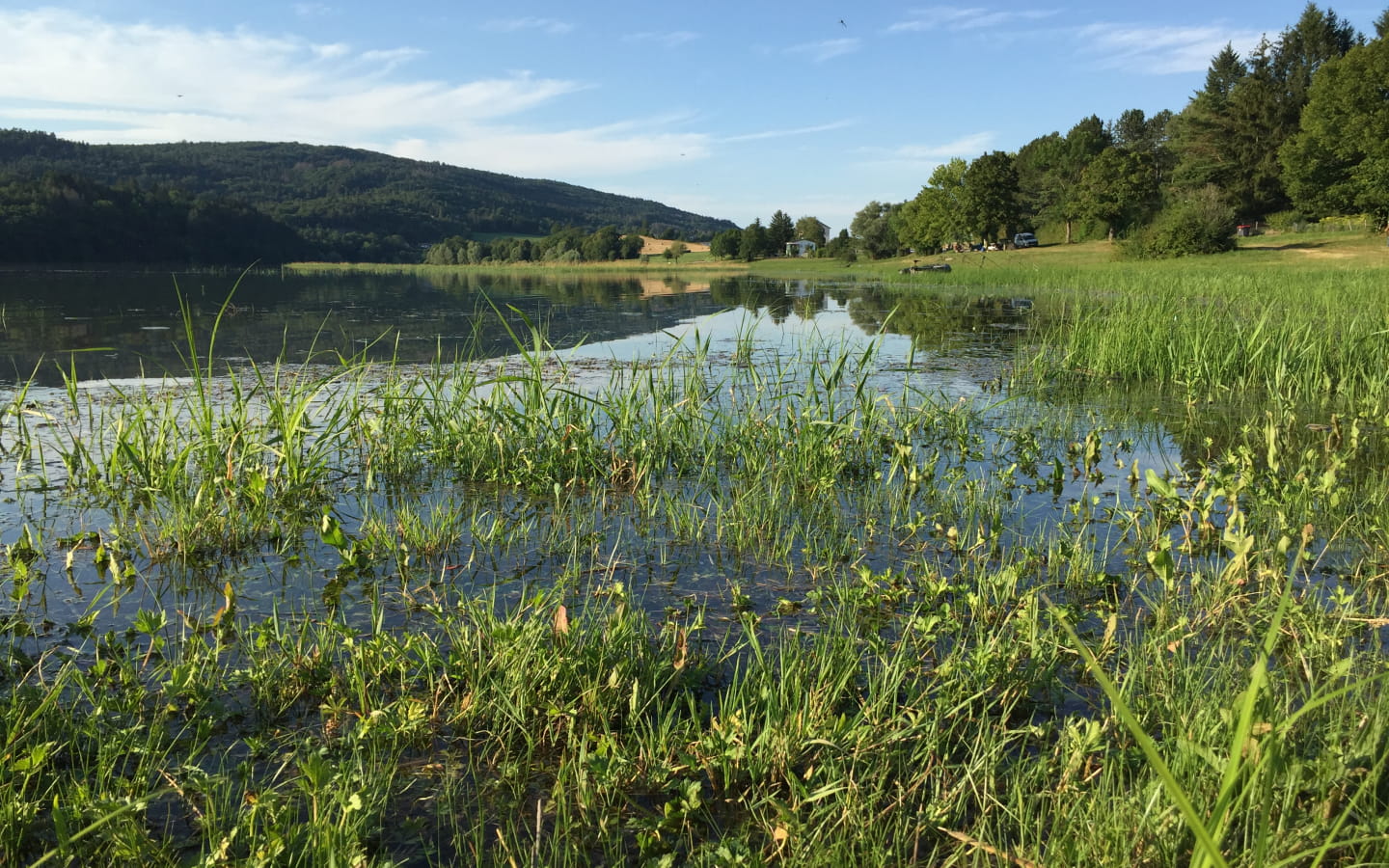
This pretty route goes around the Oignin in the shade of the trees, offering many viewpoints on the water reservoir.
Note that some passages can be muddy and slippery in wet weather.

Already more than 200,000 users!
Uphill
143m
Highest point
431m
Downhill
143m
Lowest point
369m
Route type
Loop
Download the map on your smartphone to save battery and rest assured to always keep access to the route, even without signal.
Includes IGN France and Swisstopo.
I indicate whether dogs are allowed or prohibited on this trail
All year
0 ratings
Also enjoy:

Already more than 200,000 users!