Uphill
414m
Length
7km
Duration
3h
Elev gain
414m
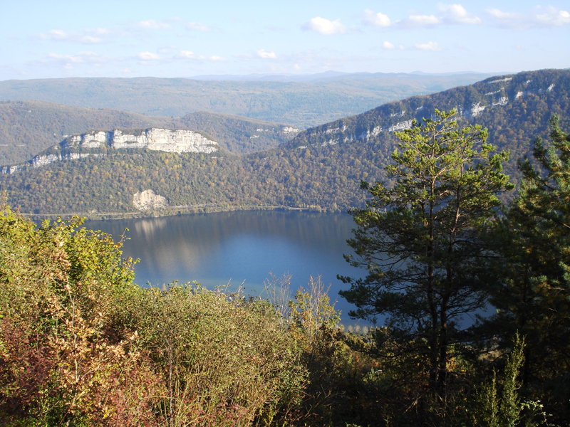
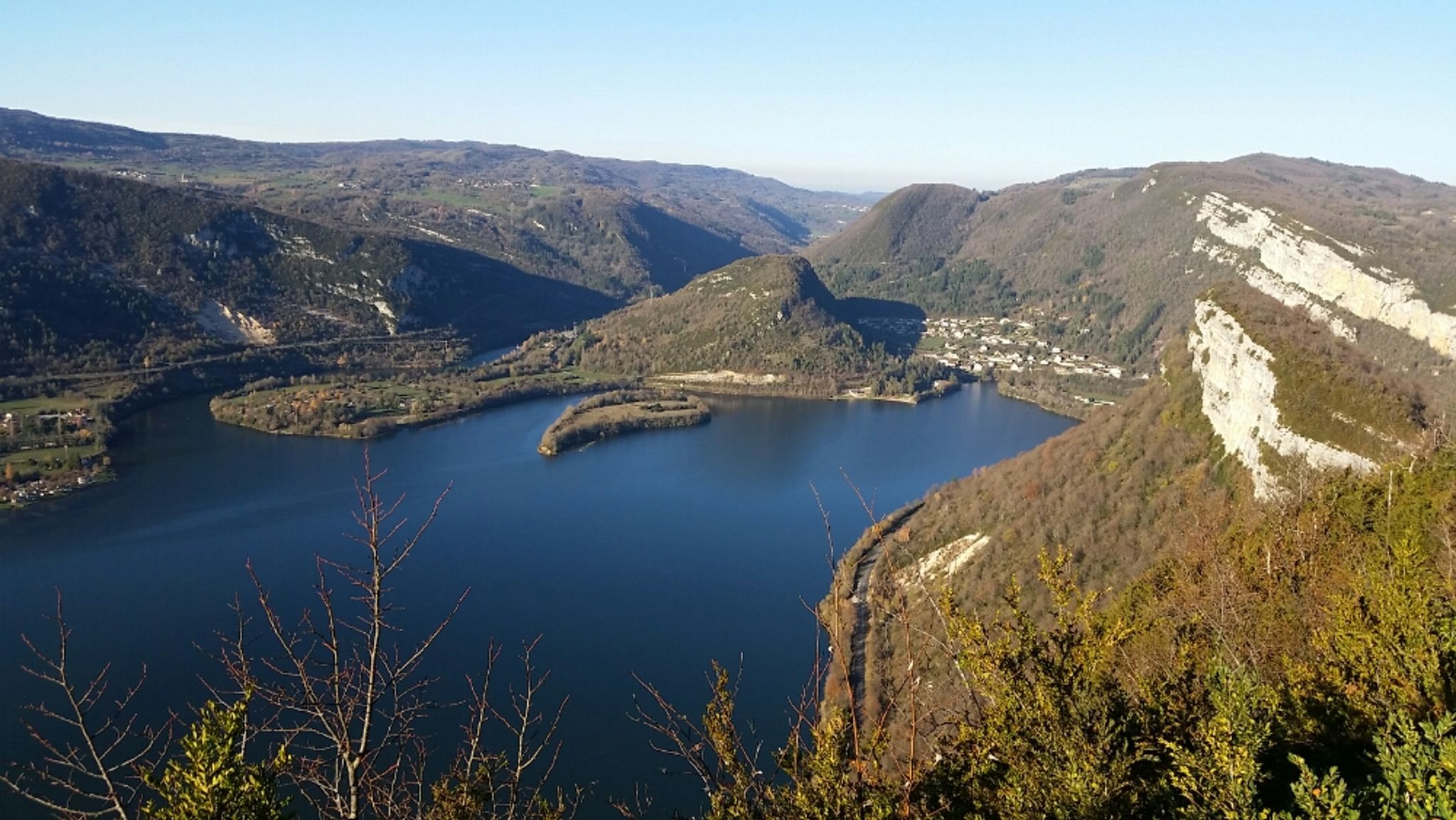
Departing from Uffel, this route quickly rushes into the forest in order to gain height. The trail joins the Pierre qui Vire belvedere, for a superb view of Lake Coiselet, before returning to the starting point through the hamlets below.

Already more than 200,000 users!
Uphill
414m
Highest point
702m
Downhill
414m
Lowest point
312m
Route type
Loop
Download the map on your smartphone to save battery and rest assured to always keep access to the route, even without signal.
Includes IGN France and Swisstopo.
I indicate whether dogs are allowed or prohibited on this trail
All year
0 ratings
Also enjoy:

Already more than 200,000 users!