Uphill
431m
France > Auvergne-Rhône-Alpes > Ain
Length
13km
Duration
4h30min
Elev gain
431m
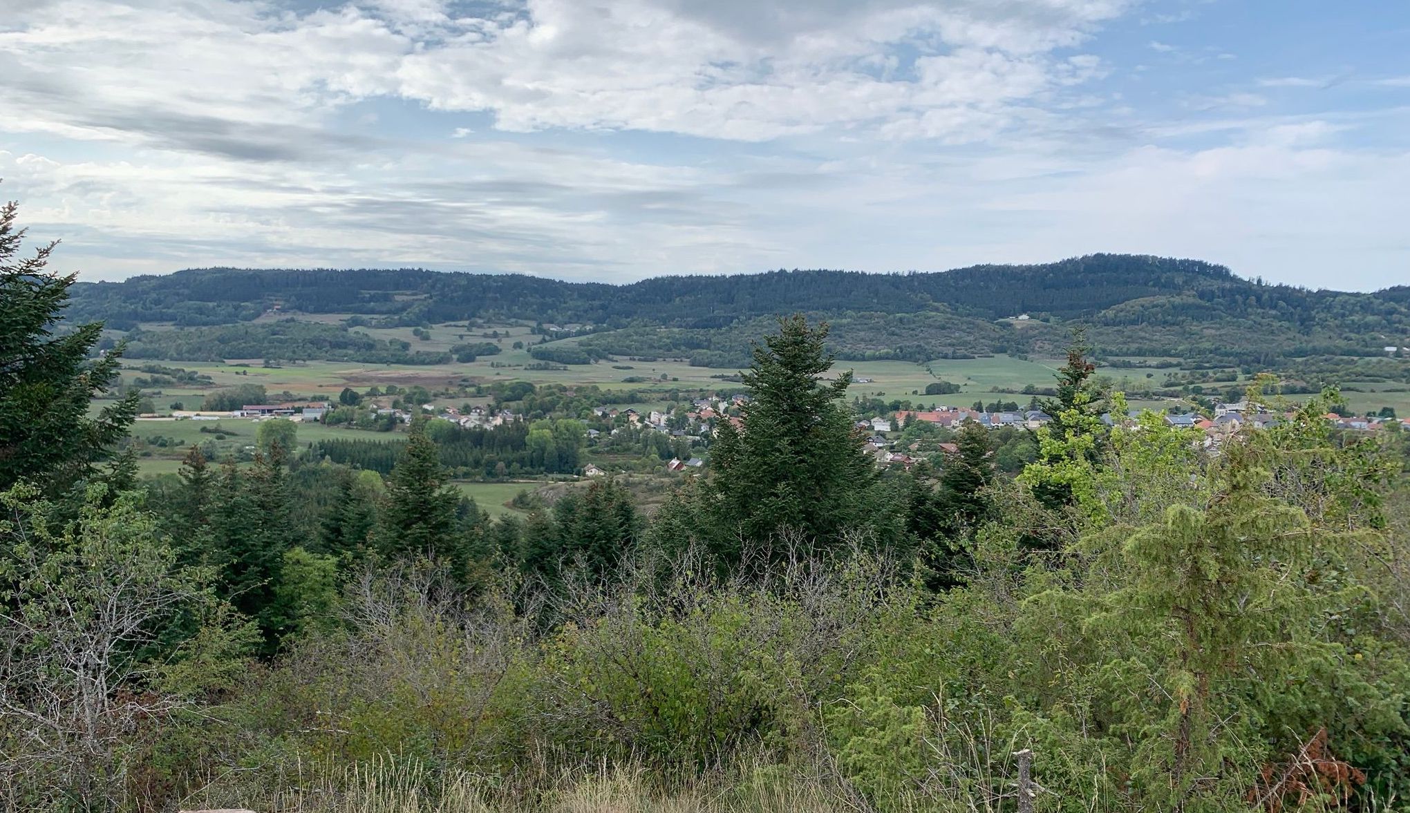
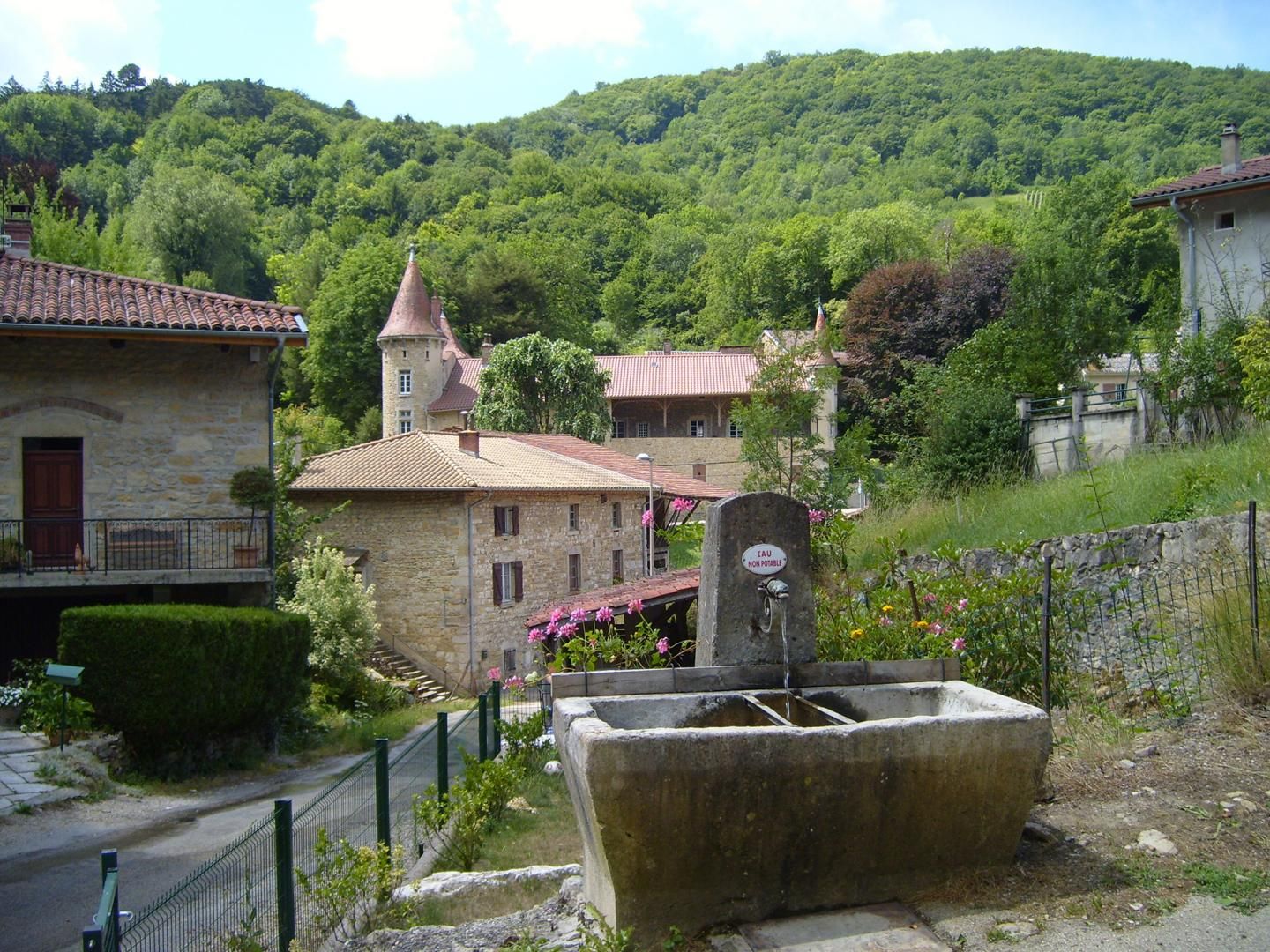
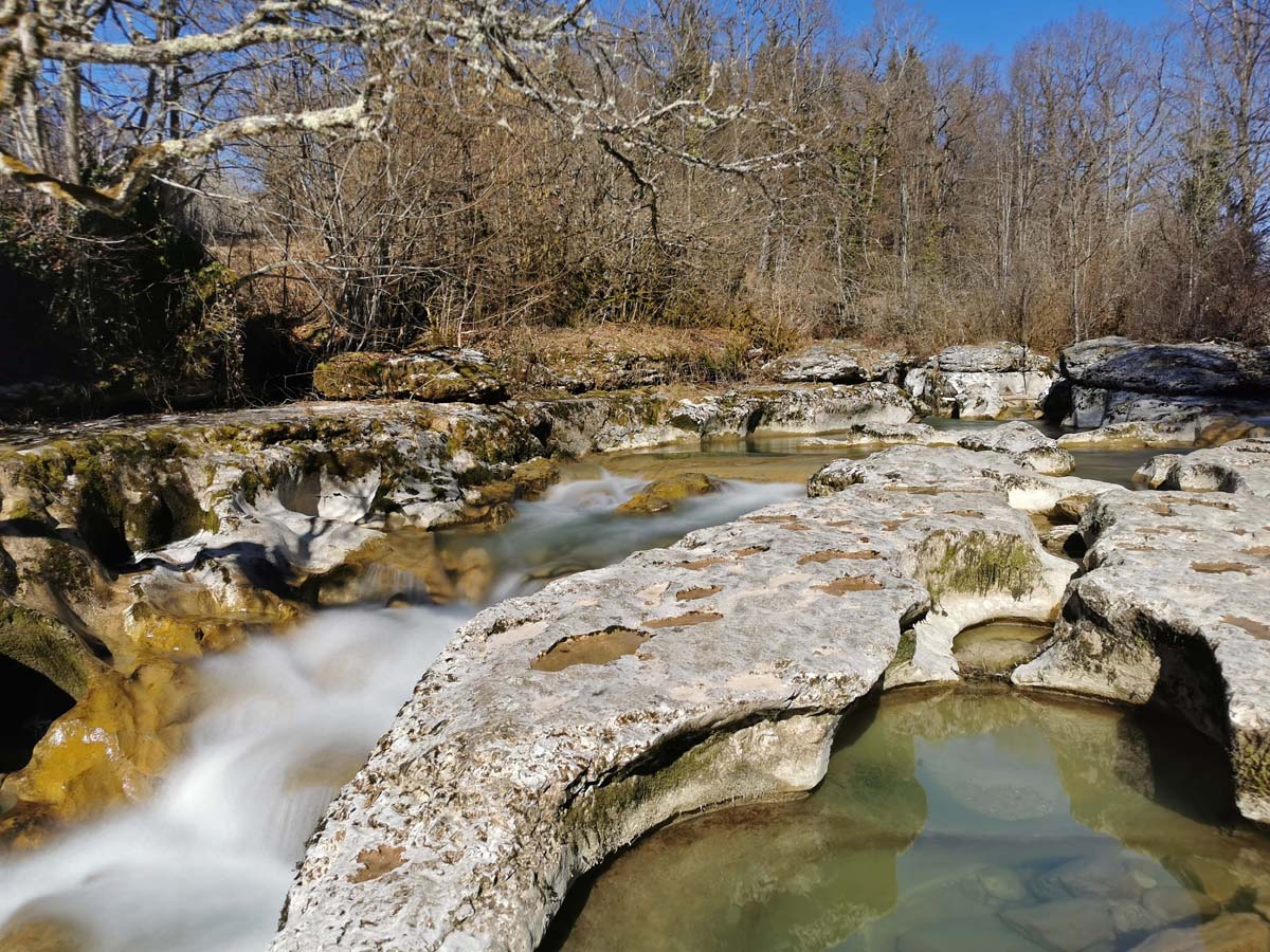
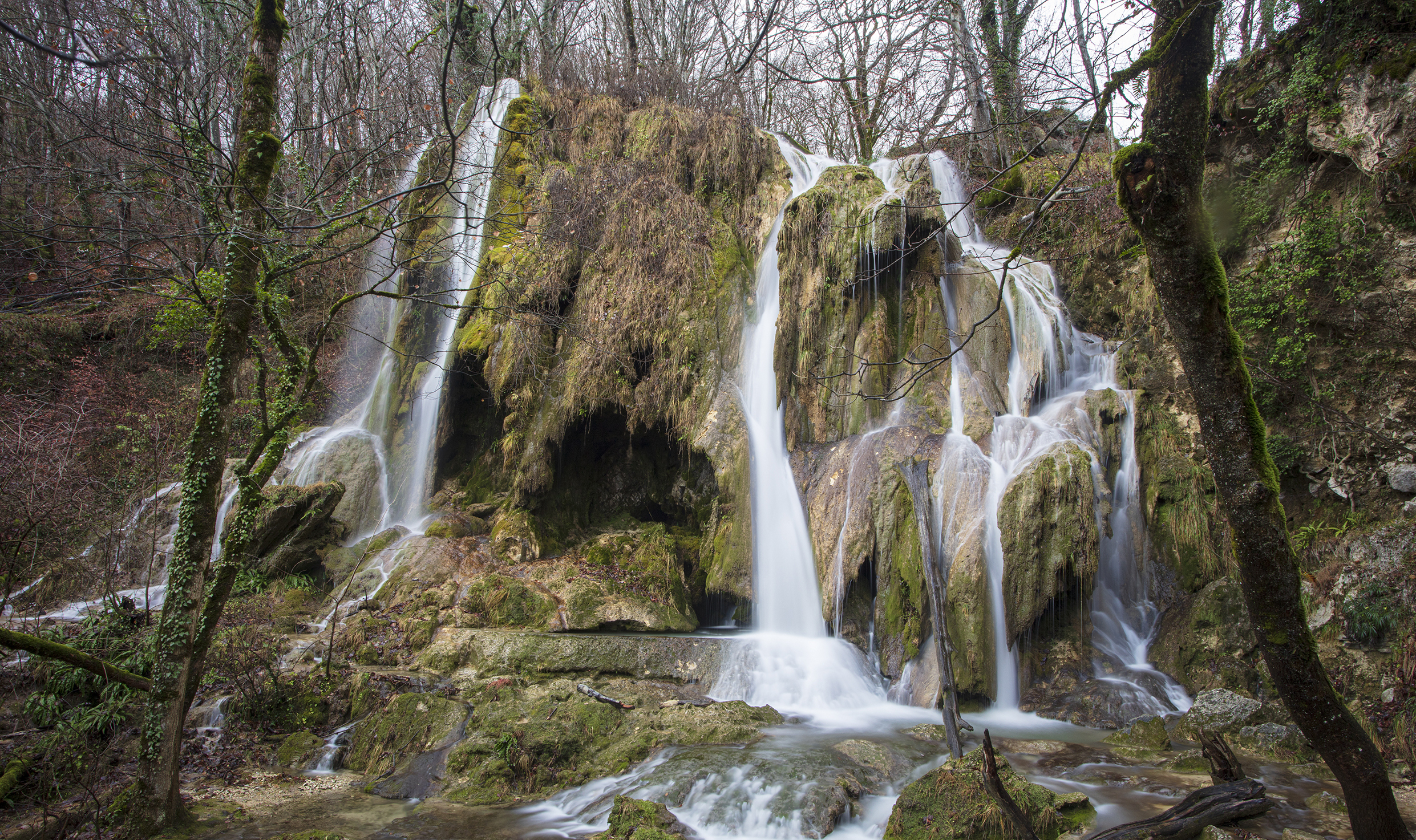
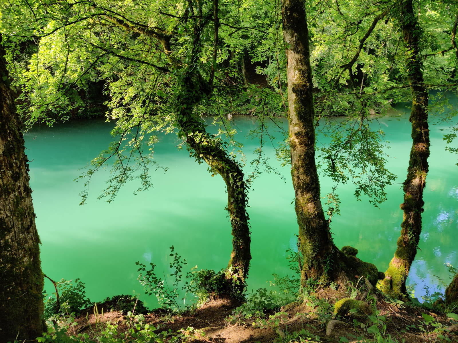
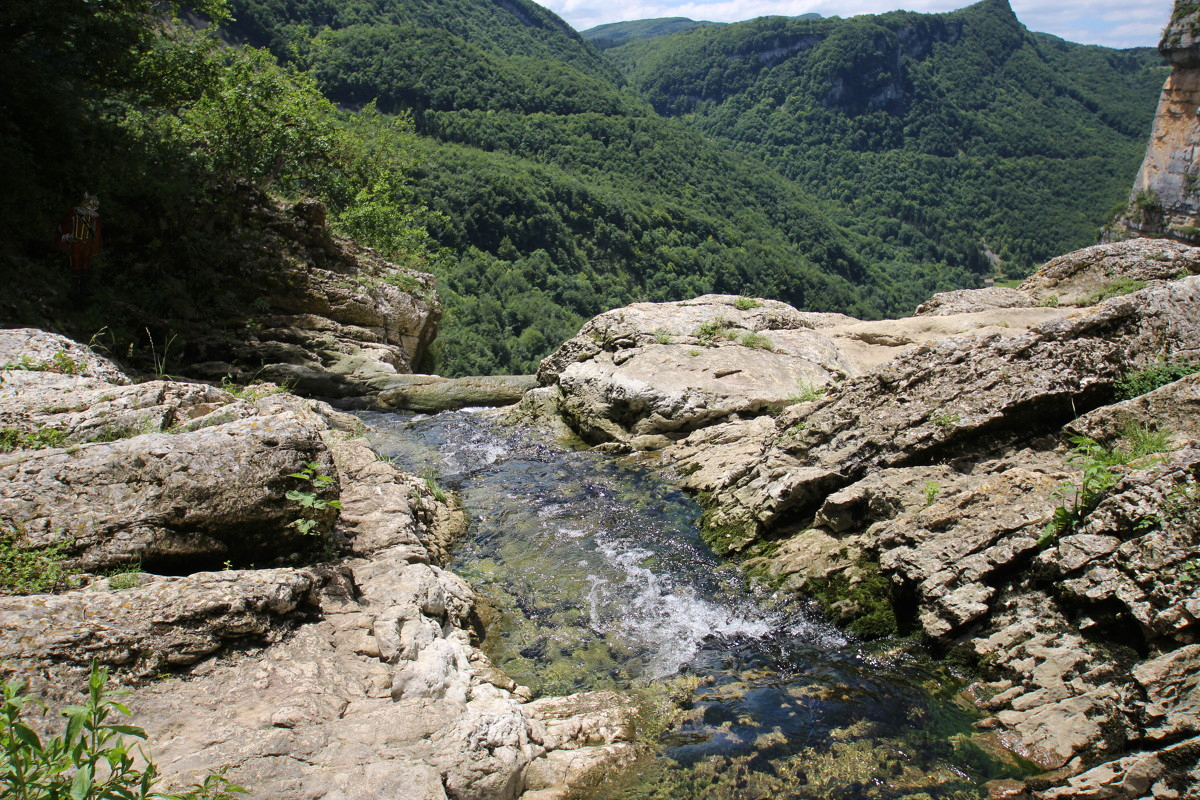
Departing from Lacoux, this hike makes a beautiful loop mainly in the forest. The path first climbs to the Grand Sangle rock, offering a magnificent view of Lacoux. It then passes through the villages of Bertinière, Ragiaz and Nantuy, before reaching the dizzying waterfall of Charabotte. The end of the route takes a few tunnels, which require a flashlight, and then ends with a road.
⚠️ At the beginning of 2022, the tunnels were closed due to landslides. It is now recommended to bypass them.

Already more than 200,000 users!
Uphill
431m
Highest point
938m
Downhill
431m
Lowest point
648m
Route type
Loop
Download the map on your smartphone to save battery and rest assured to always keep access to the route, even without signal.
Includes IGN France and Swisstopo.
I indicate whether dogs are allowed or prohibited on this trail
Can be difficult in Winter
4 ratings
Also enjoy:

Already more than 200,000 users!