Uphill
213m
Length
5km
Duration
1h30min
Elev gain
213m
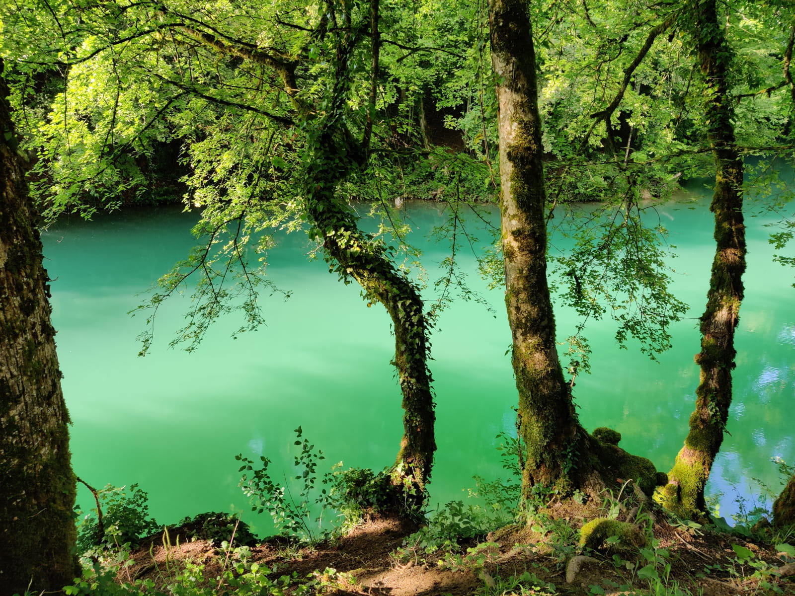
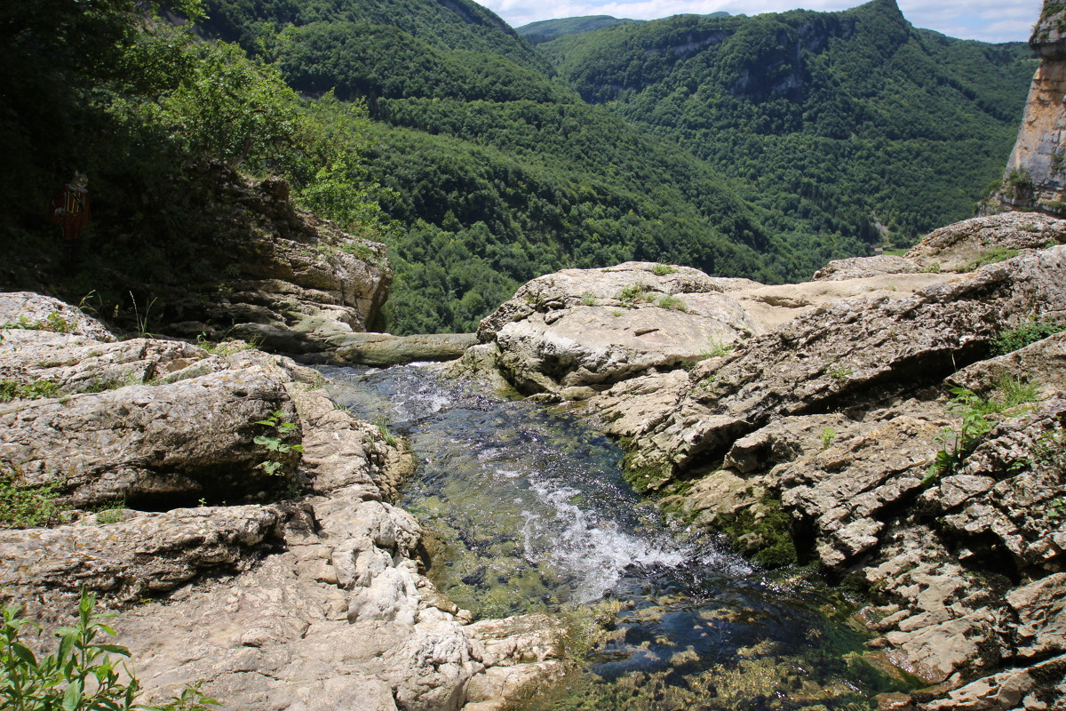
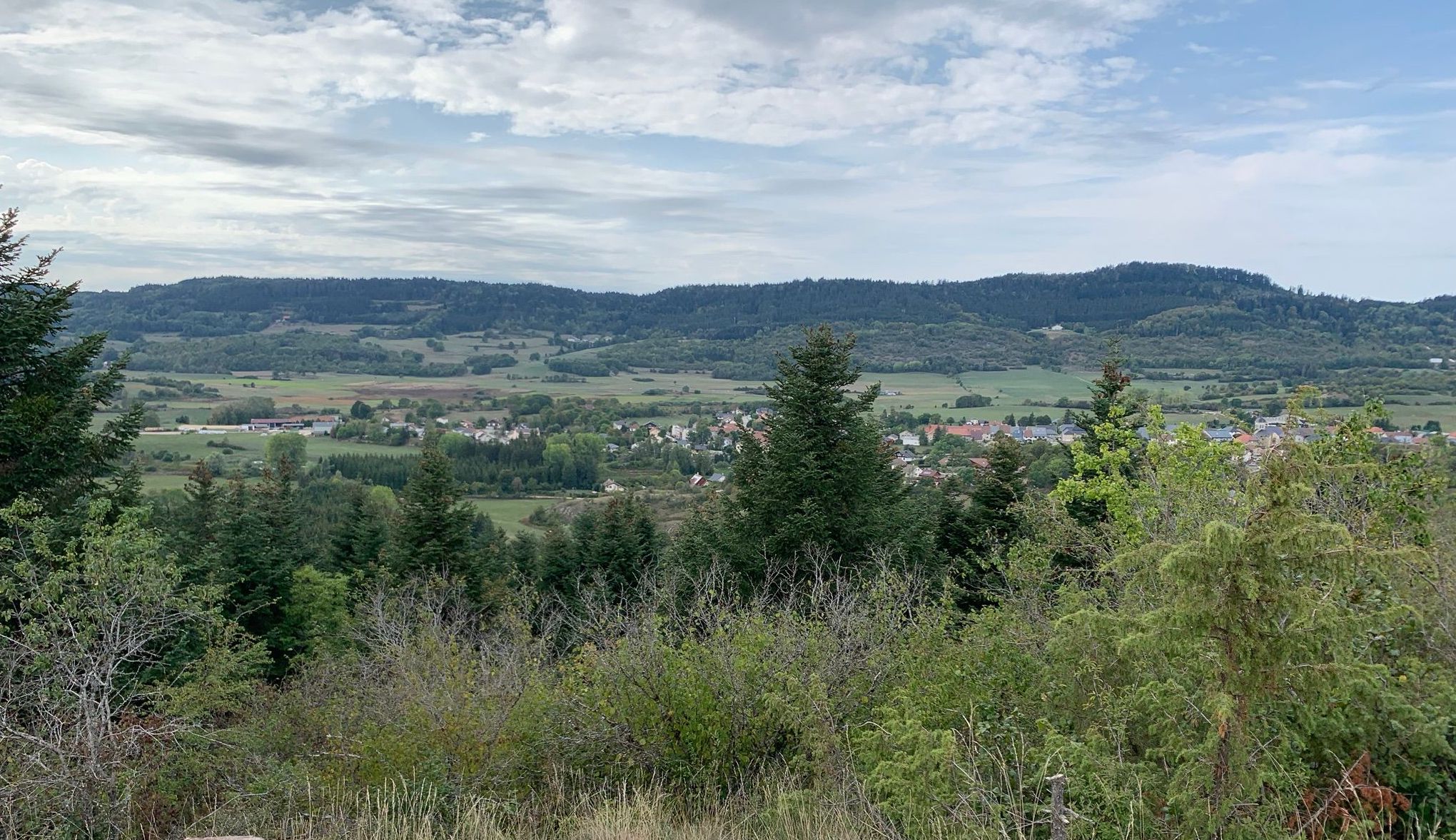
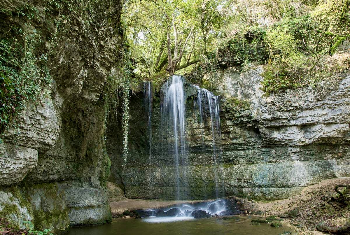
Short walk in the forest near L'Abergement-de-Varey. The route takes a little height, away from any civilization.

Already more than 200,000 users!
Uphill
213m
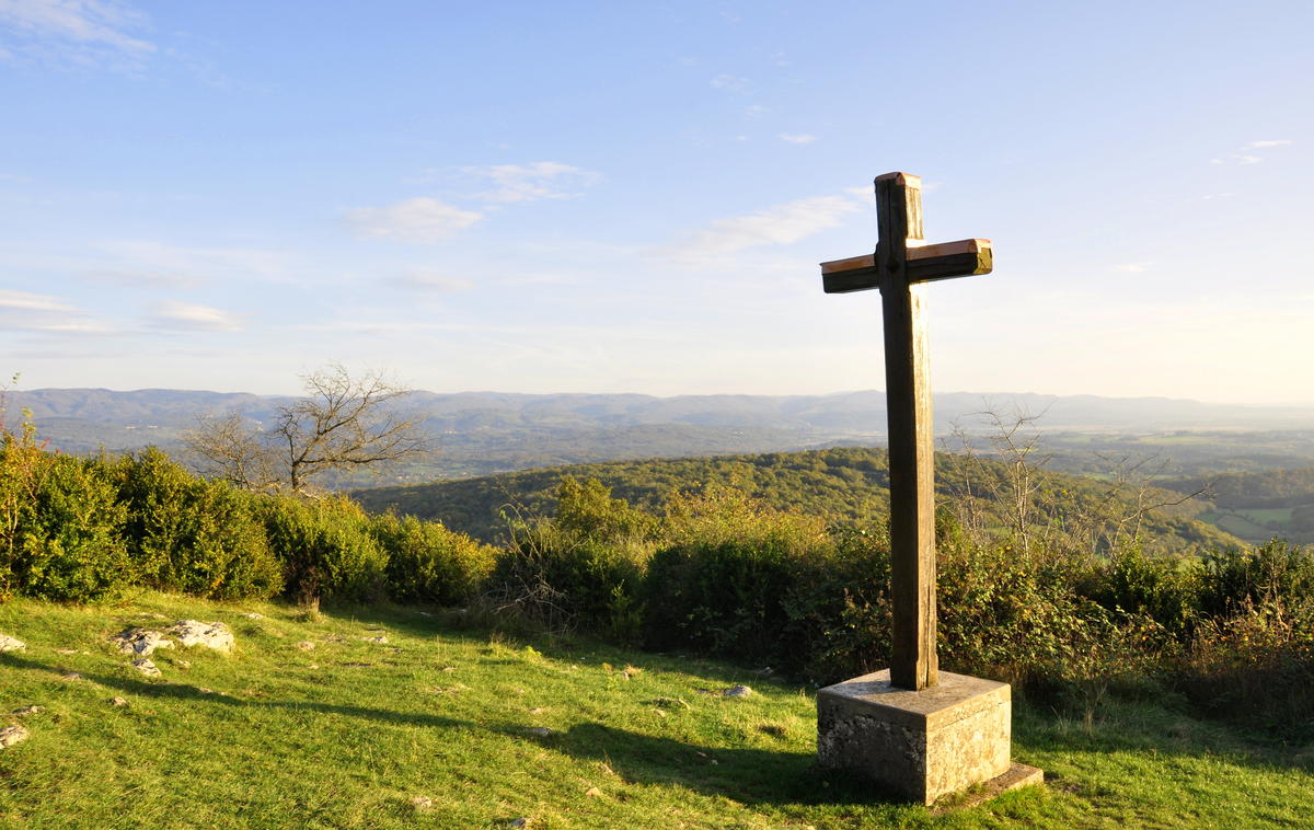
Highest point
561m
Downhill
213m
Lowest point
350m
Route type
Loop
Download the map on your smartphone to save battery and rest assured to always keep access to the route, even without signal.
Includes IGN France and Swisstopo.
I indicate whether dogs are allowed or prohibited on this trail
All year
0 ratings
Also enjoy:

Already more than 200,000 users!