Uphill
754m

Length
11km
Duration
5h30min
Elev gain
754m
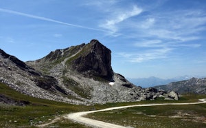
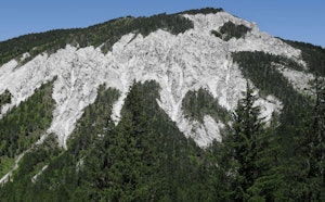
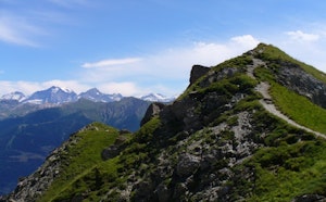
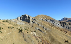
This hike passes by the Tête du Jarset (2,271m) before reaching Mont Jovet (2,558m). The trail follows ridges where the panoramic view is splendid, and the adrenaline kicks in. Be careful though: this hike is suited for the most experienced.

Already more than 200,000 users!
Uphill
754m
Highest point
2557m
Downhill
754m
Lowest point
1849m
Route type
Loop
Download the map on your smartphone to save battery and rest assured to always keep access to the route, even without signal.
Includes IGN France and Swisstopo.
I indicate whether dogs are allowed or prohibited on this trail
From June to September
1 rating
Also enjoy:

Already more than 200,000 users!