Uphill
646m
Length
12km
Duration
5h
Elev gain
646m
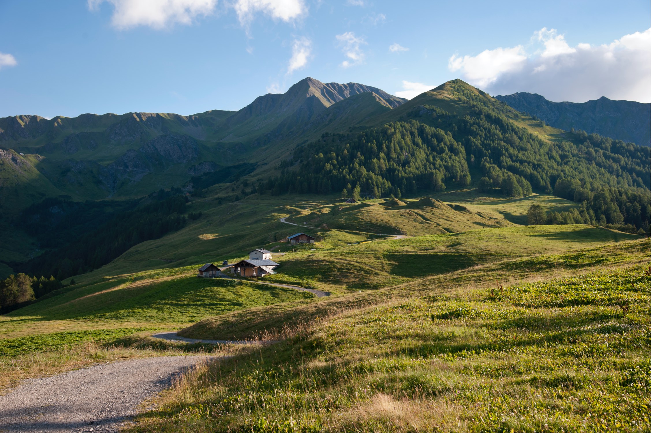
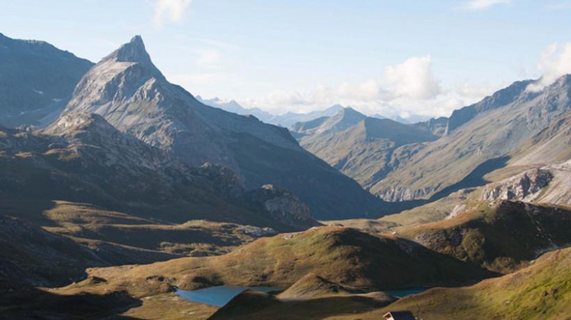
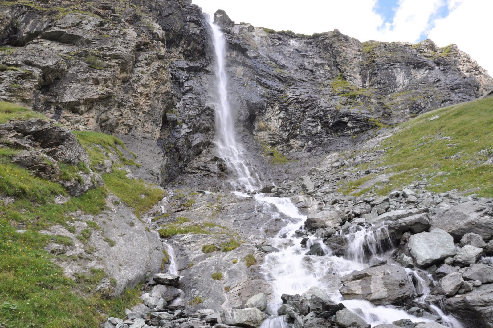
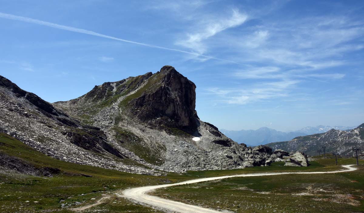
Hike to the rock of Mio, in the ski resort of La Plagne. On the outward journey, pass by the Lac des Inversens before arriving at the rock where the view of Mont-Blanc is magical. Return via Lac des Blanchets and the Col de Forcie reservoir.
Please note that a short passage is a bit challenging on the way back.

Already more than 200,000 users!
Uphill
646m
Highest point
2706m
Downhill
646m
Lowest point
2068m
Route type
Loop
Download the map on your smartphone to save battery and rest assured to always keep access to the route, even without signal.
Includes IGN France and Swisstopo.
I indicate whether dogs are allowed or prohibited on this trail
From June to September
0 ratings
Also enjoy:

Already more than 200,000 users!