Uphill
172m
Length
3km
Duration
1h30min
Elev gain
172m
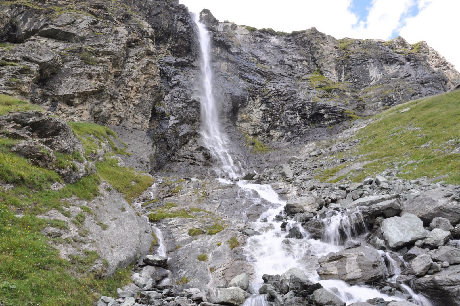
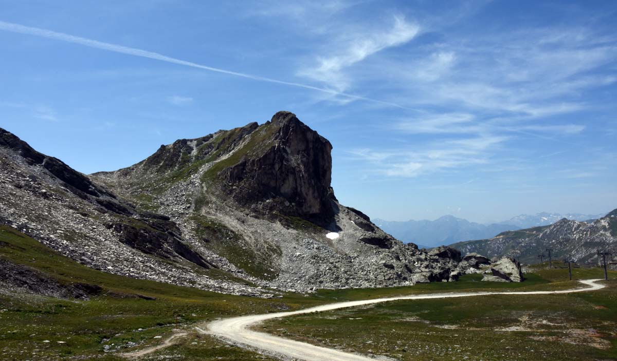
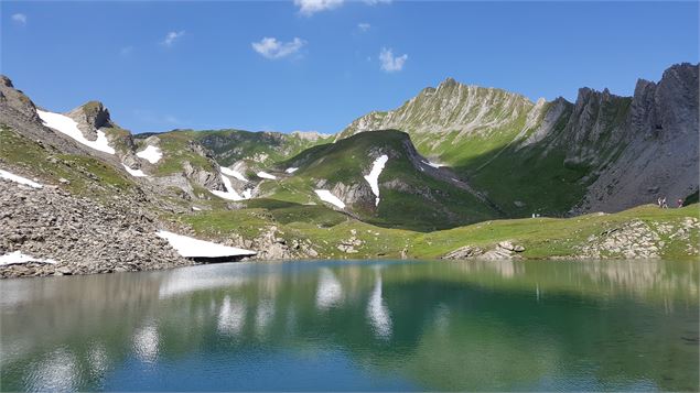
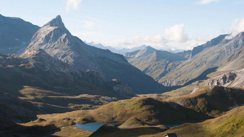
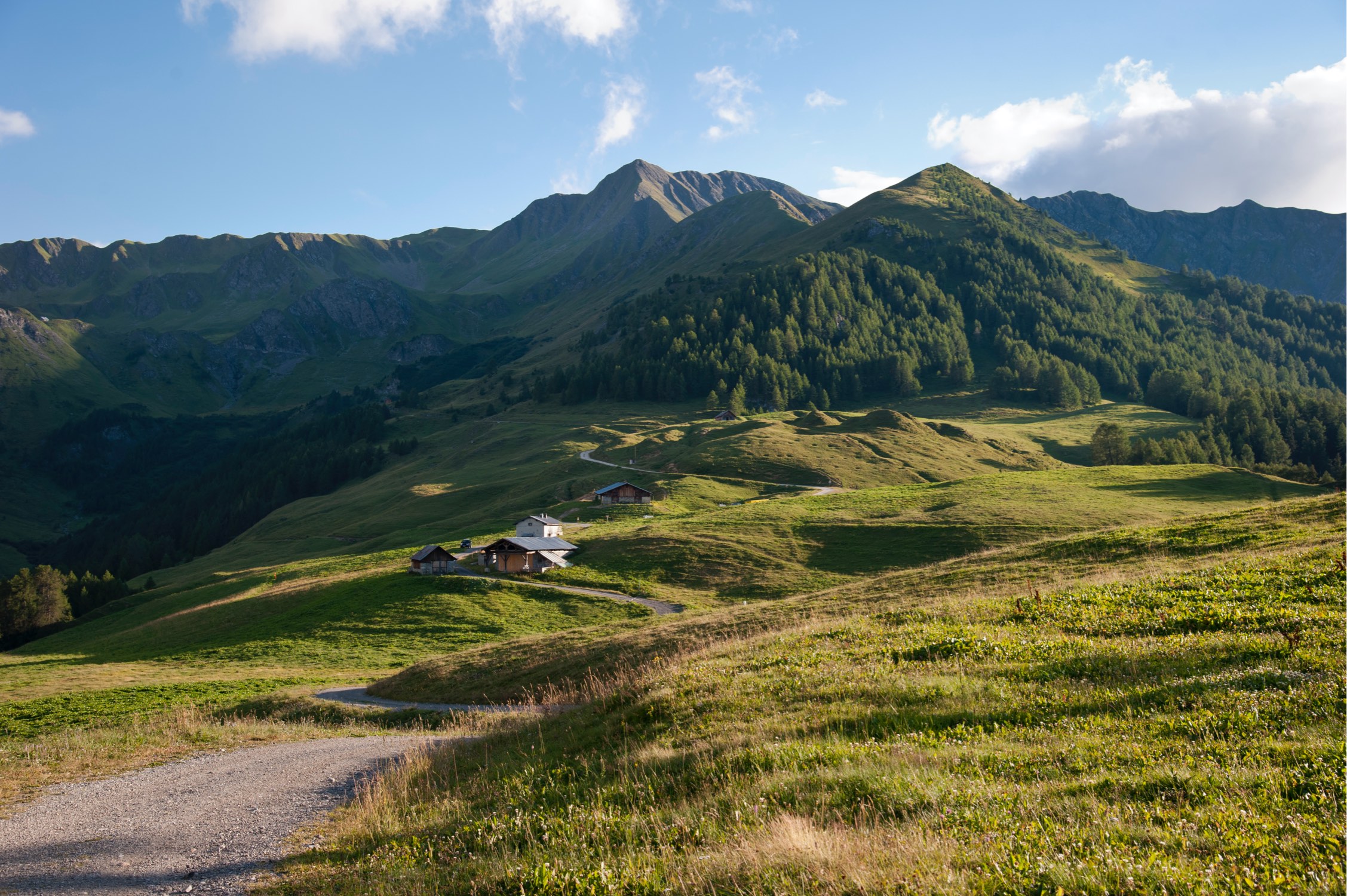
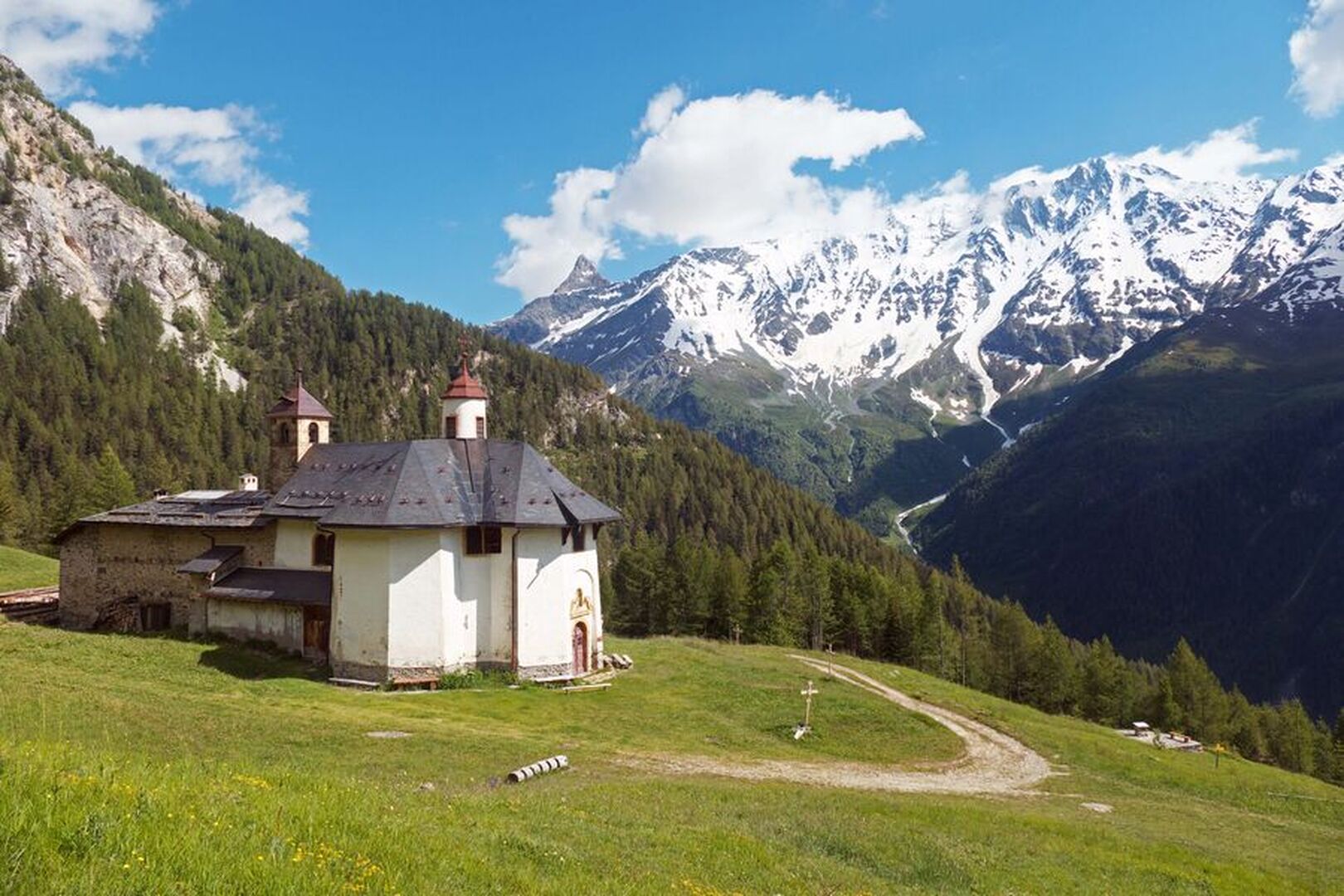
There and back trail to the chapel of Notre-Dame des Vernettes, on a path alternating between forest and mountain pastures and overlooking the Ponthurin valley.

Already more than 200,000 users!
Uphill
172m
Highest point
1817m
Downhill
172m
Lowest point
1644m
Route type
There and back
Download the map on your smartphone to save battery and rest assured to always keep access to the route, even without signal.
Includes IGN France and Swisstopo.
I indicate whether dogs are allowed or prohibited on this trail
From May to October
3 ratings
Also enjoy:

Already more than 200,000 users!