Uphill
1403m
Length
20km
Duration
10h
Elev gain
1403m
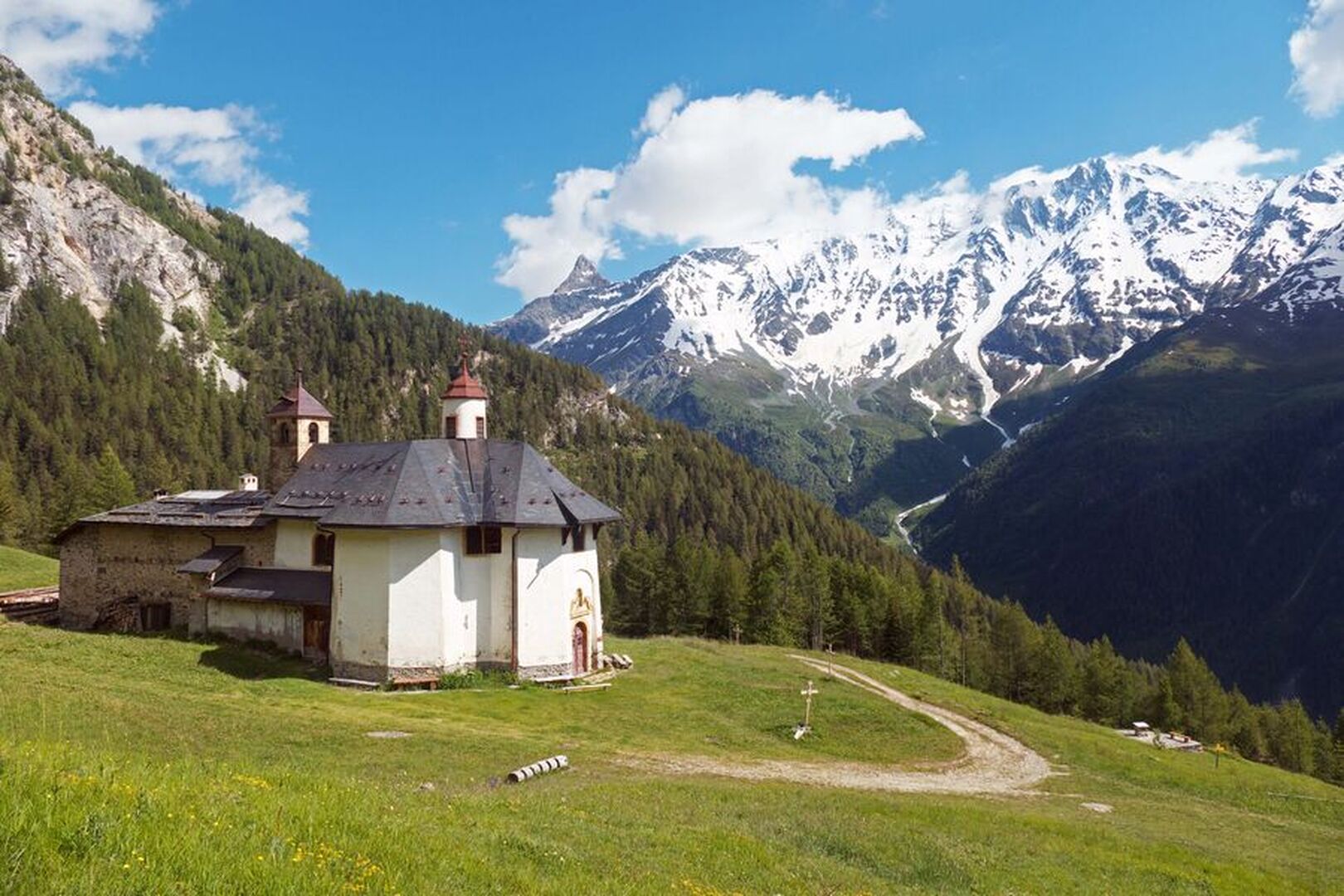
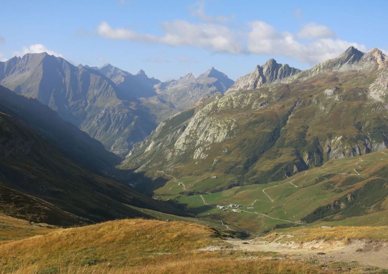
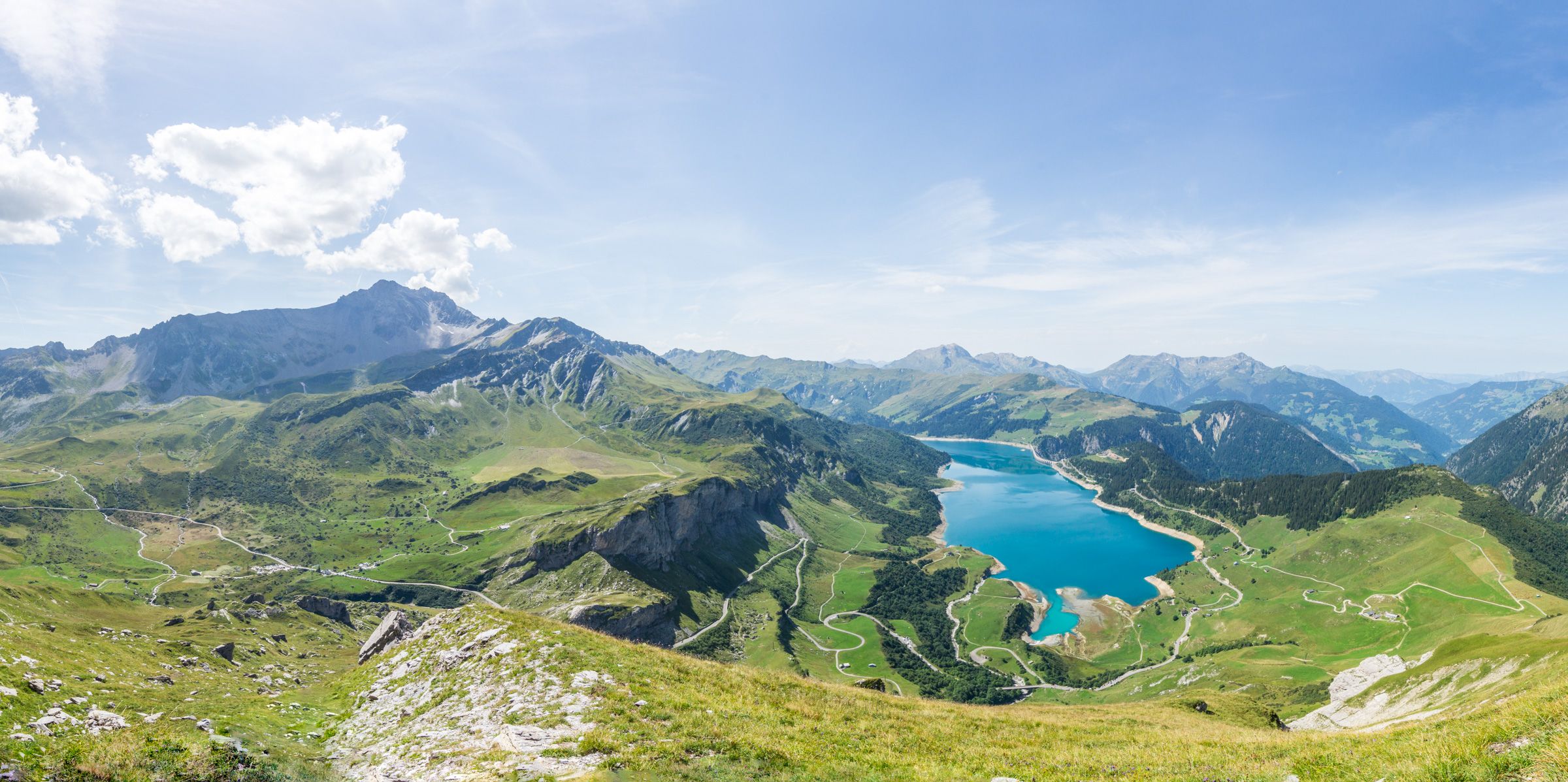
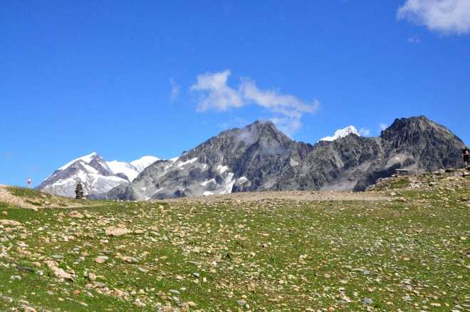
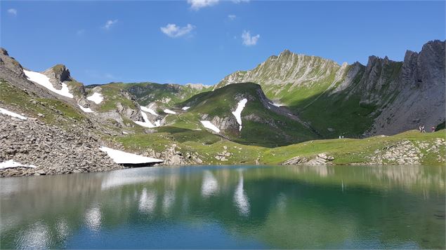
This trail located in Beaufortain leads to the Esola, Verdet, Noir, Cornu and Riondet lakes. It also passes through Fort de la Platte.
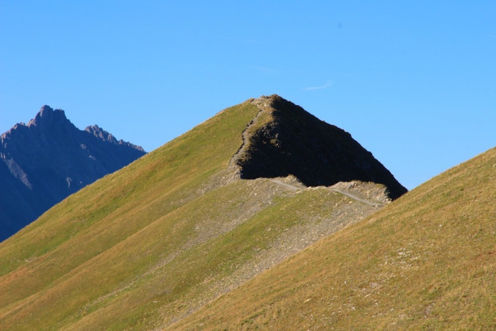
The landscapes are varied, between mountain pastures and high mountains.

Already more than 200,000 users!
Uphill
1403m
Highest point
2676m
Downhill
1403m
Lowest point
1351m
Route type
Loop
Download the map on your smartphone to save battery and rest assured to always keep access to the route, even without signal.
Includes IGN France and Swisstopo.
I indicate whether dogs are allowed or prohibited on this trail
From June to September
1 rating
Also enjoy:

Already more than 200,000 users!