Uphill
747m

Length
11km
Duration
5h30min
Elev gain
747m
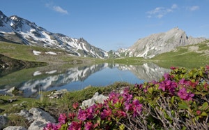
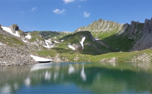
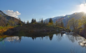
Starting from the Ville des Glaciers, this hike goes up to the Col de la Seigne (2,515m). Physical ascent with a pretty view of the valley below.

Already more than 200,000 users!
Uphill
747m
Highest point
2517m
Downhill
747m
Lowest point
1774m
Route type
There and back
Download the map on your smartphone to save battery and rest assured to always keep access to the route, even without signal.
Includes IGN France and Swisstopo.
I indicate whether dogs are allowed or prohibited on this trail
From June to September
1 rating
Also enjoy:

Already more than 200,000 users!