Uphill
1327m
Length
18km
Duration
9h30min
Elev gain
1327m
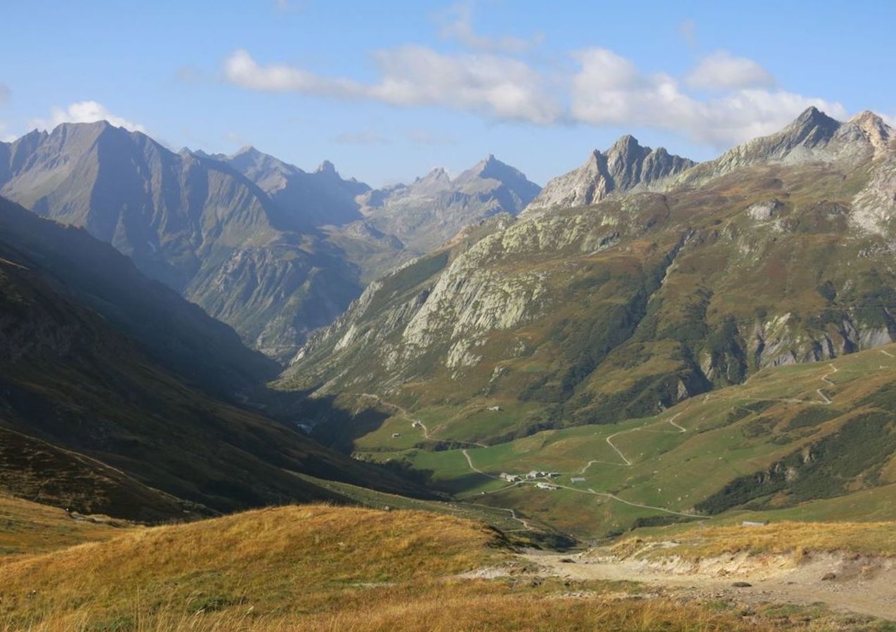
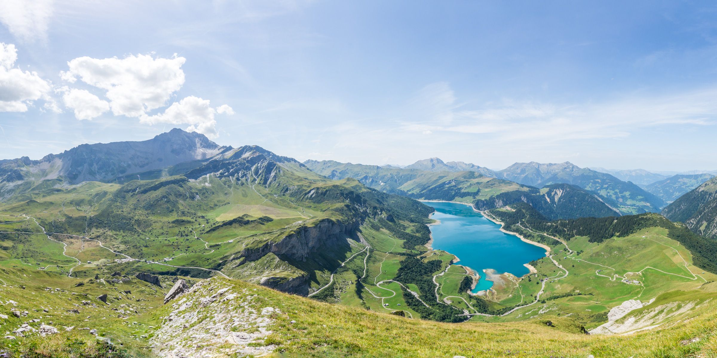
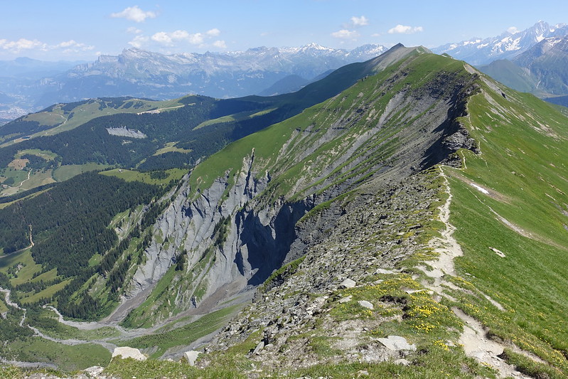
Leaving from Colombaz, this path follows a crest between Aiguille Croche and Mont Joly. The summit offers a magnificent panorama accompanied by an orientation table.

Already more than 200,000 users!
Uphill
1327m
Highest point
2504m
Downhill
1327m
Lowest point
1481m
Route type
Loop
Download the map on your smartphone to save battery and rest assured to always keep access to the route, even without signal.
Includes IGN France and Swisstopo.
Small parking at the hike starting point, right before Colombaz when arriving from Les Contamines.
I indicate whether dogs are allowed or prohibited on this trail
From June to September
0 ratings
Also enjoy:

Already more than 200,000 users!