Uphill
417m
Length
5km
Duration
3h
Elev gain
417m
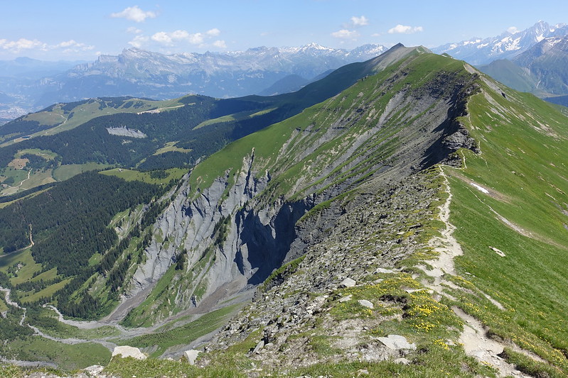
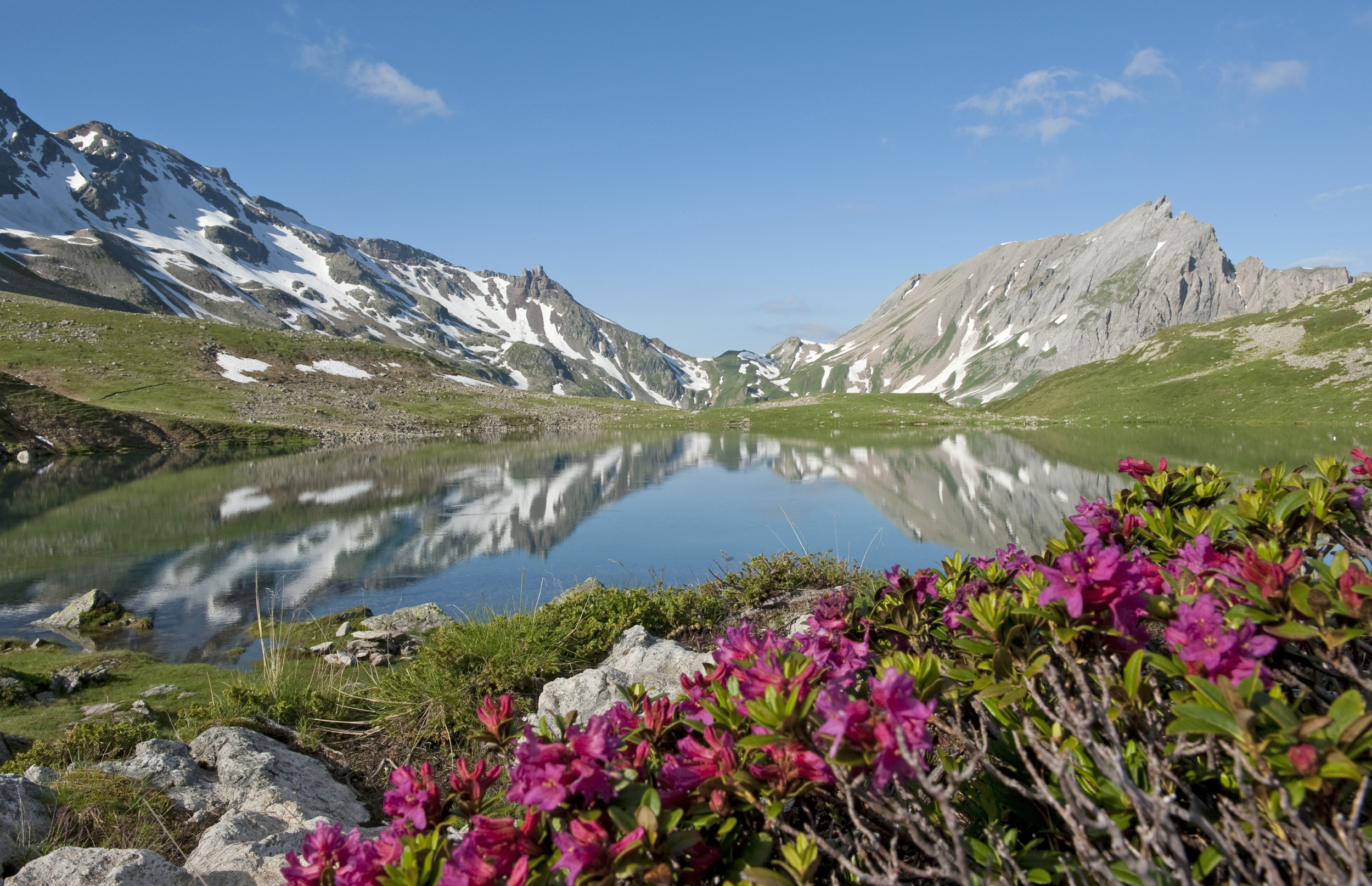
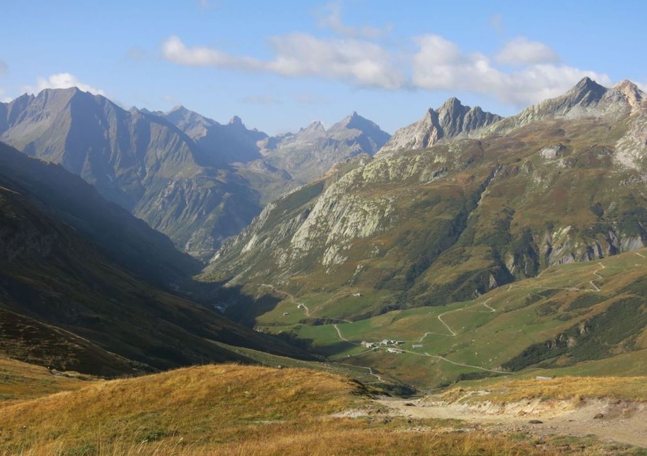
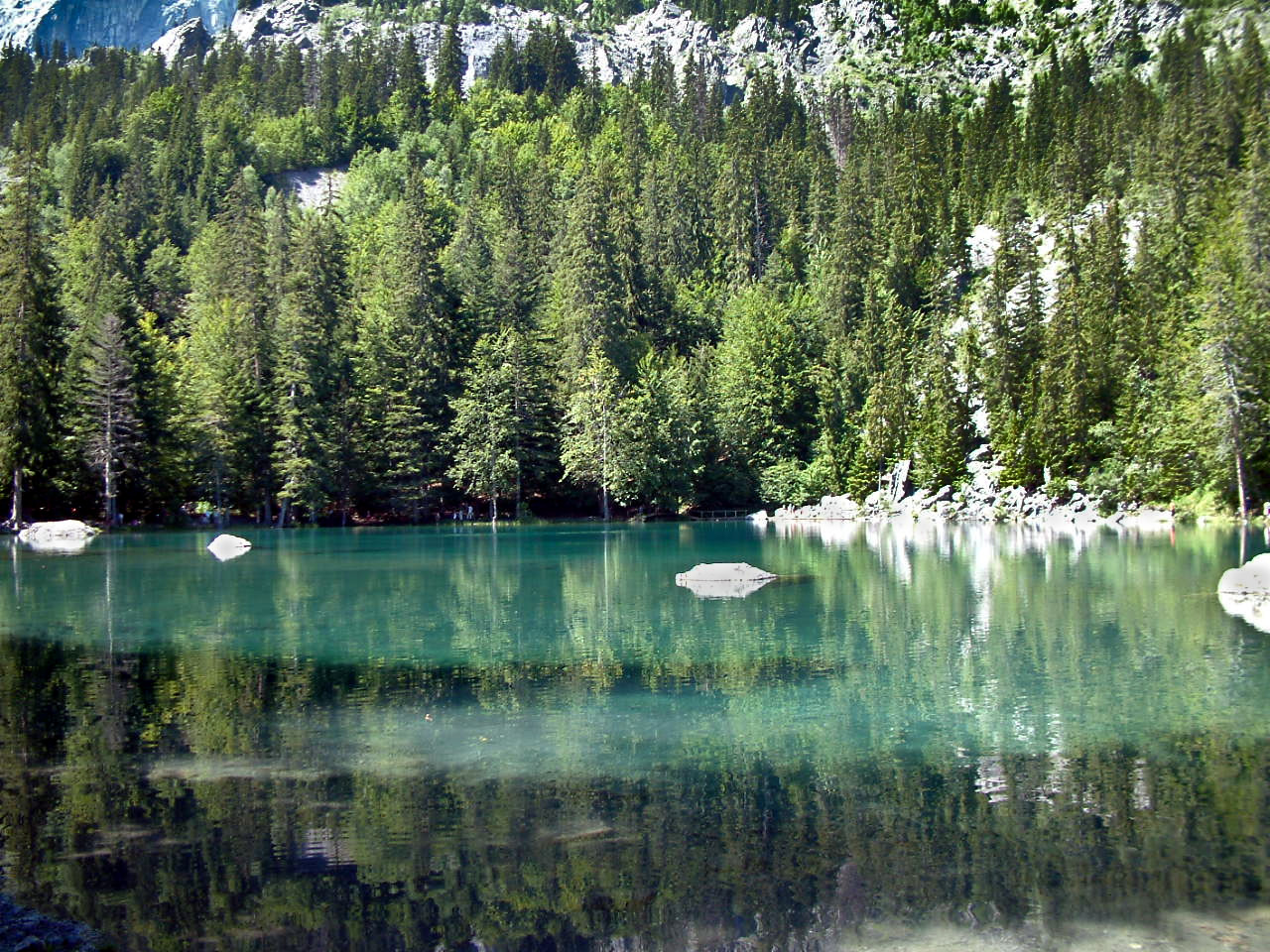
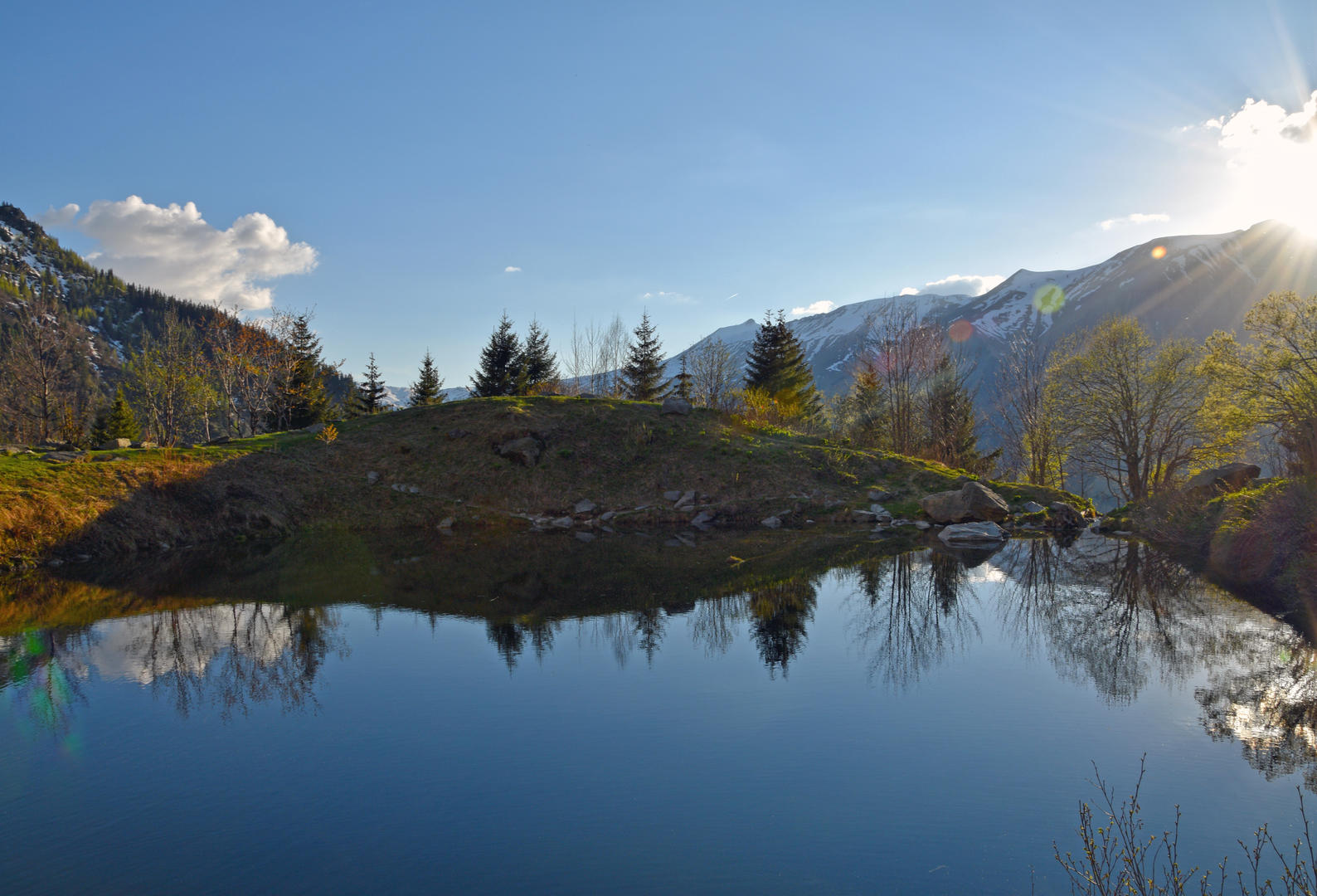
Short hike starting from La Frasse and leading to Lake Armancette. This one is small but charming.
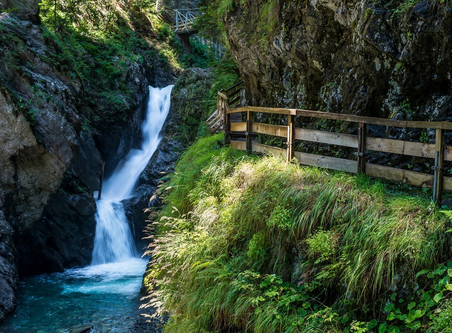
It is also possible to continue a little beyond our circuit to discover the Combe d'Armancette and its many waterways.

Already more than 200,000 users!
Uphill
417m
Highest point
1679m
Downhill
417m
Lowest point
1258m
Route type
There and back
Download the map on your smartphone to save battery and rest assured to always keep access to the route, even without signal.
Includes IGN France and Swisstopo.
I indicate whether dogs are allowed or prohibited on this trail
From May to October
2 ratings
Also enjoy:

Already more than 200,000 users!