Uphill
287m
Length
5km
Duration
2h
Elev gain
287m
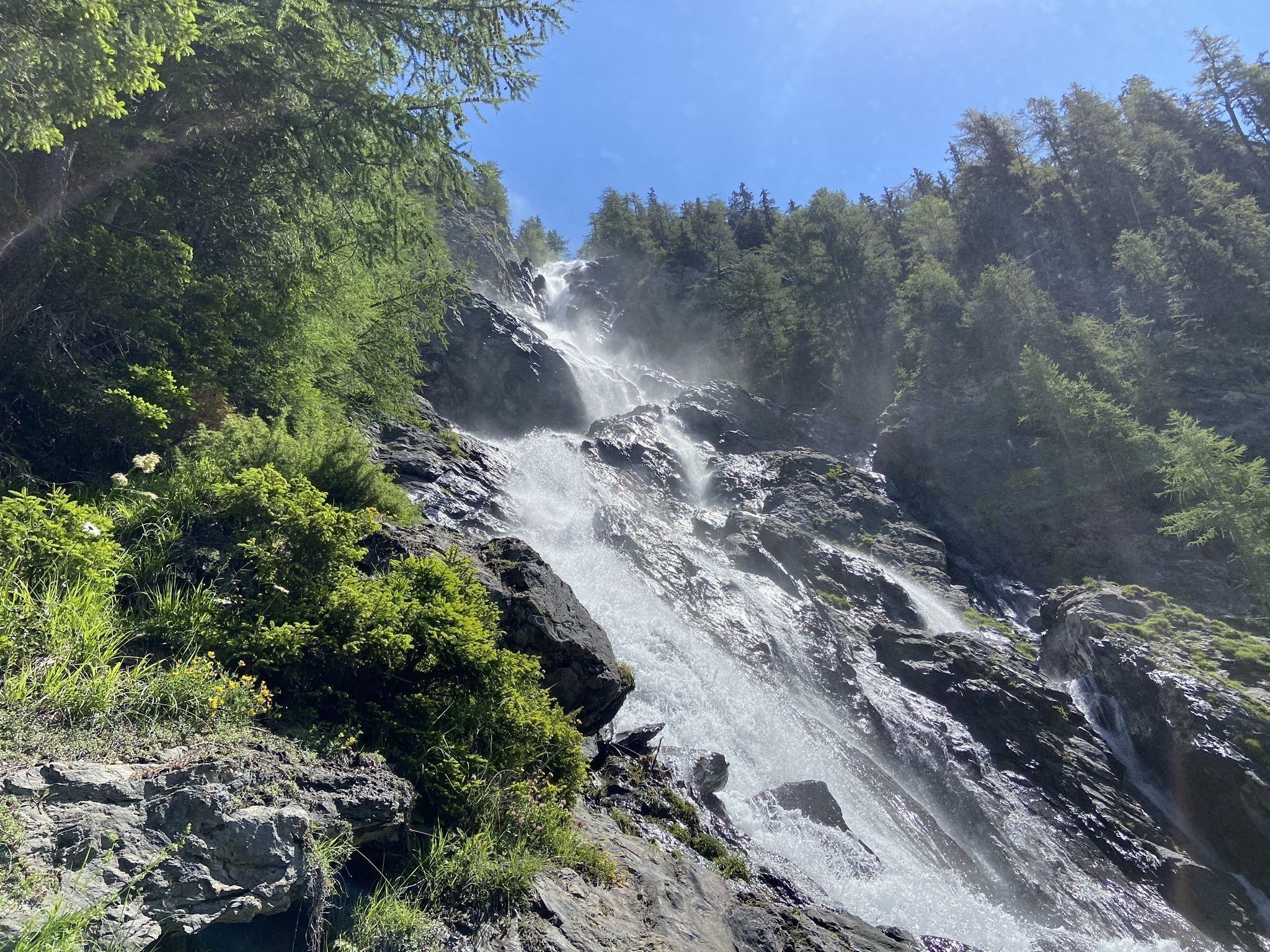
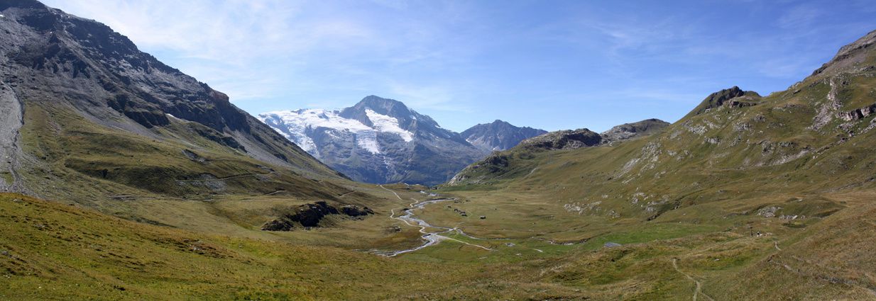
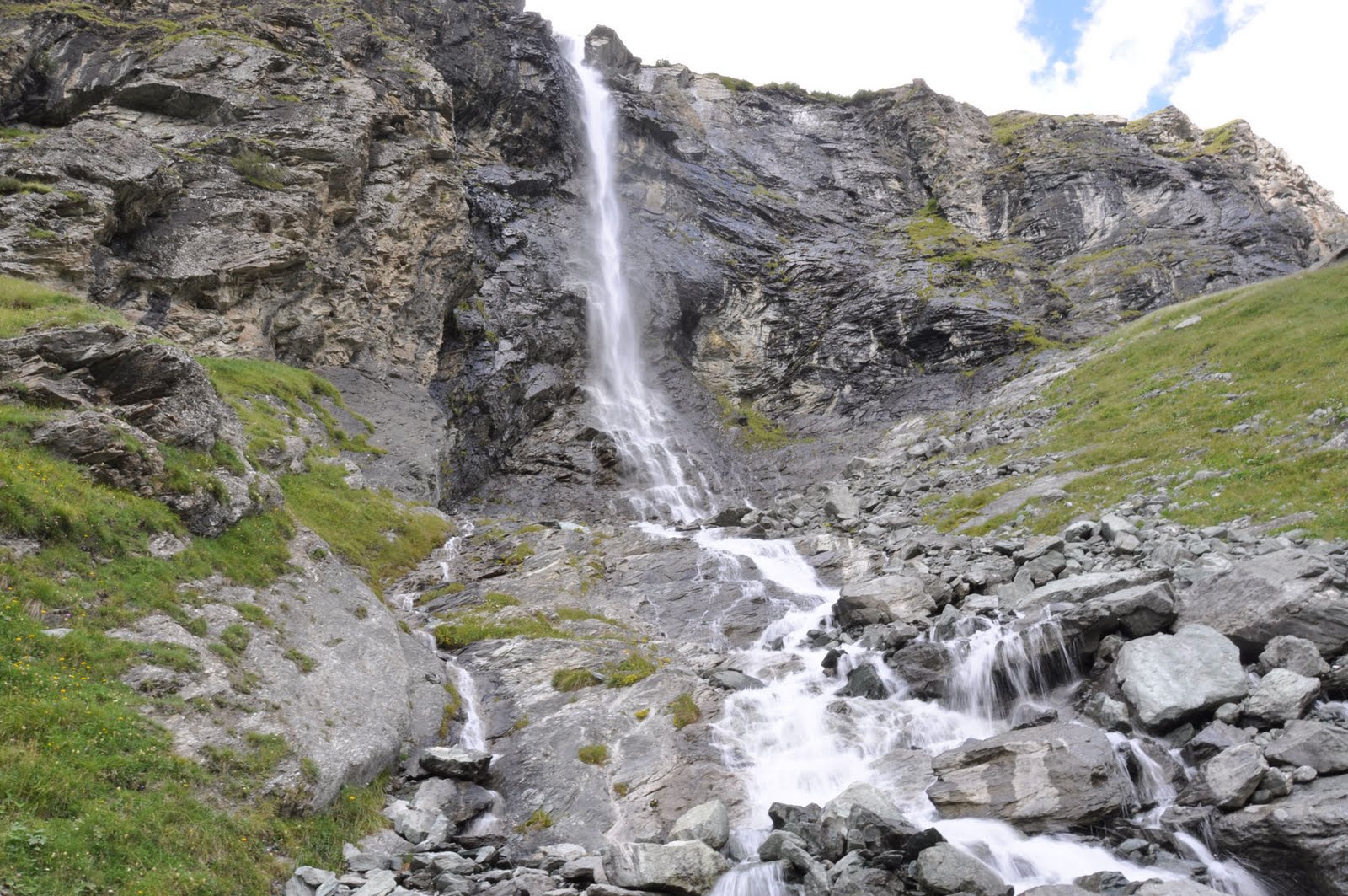
Walk along a stream to the Nant Putors waterfall, in the Rosuel valley. Very pretty landscapes all the way.

Already more than 200,000 users!
Uphill
287m
Highest point
1837m
Downhill
287m
Lowest point
1544m
Route type
Loop
Download the map on your smartphone to save battery and rest assured to always keep access to the route, even without signal.
Includes IGN France and Swisstopo.
I indicate whether dogs are allowed or prohibited on this trail
From May to October
4 ratings
Impossible de traverser mais on a vu des marmottes
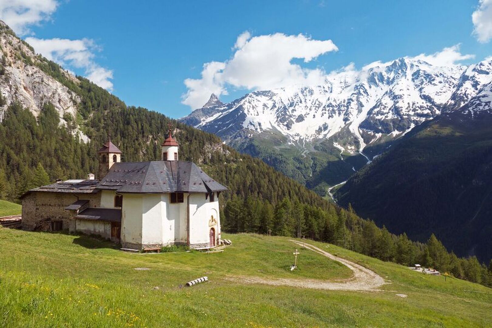
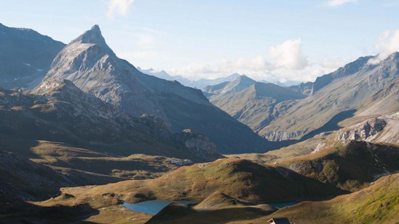
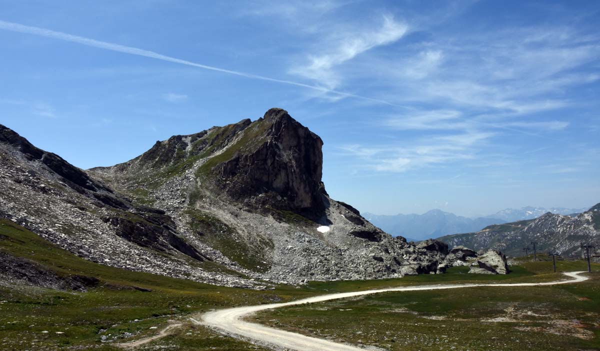
Also enjoy:

Already more than 200,000 users!