Uphill
1277m
Length
24km
Duration
9h30min
Elev gain
1277m
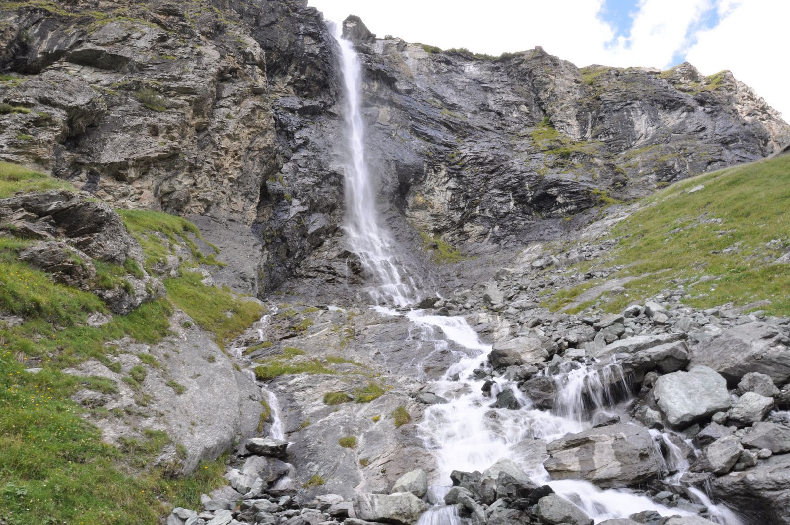
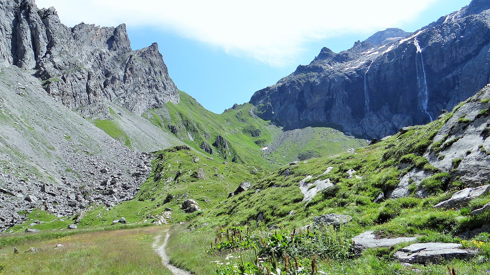
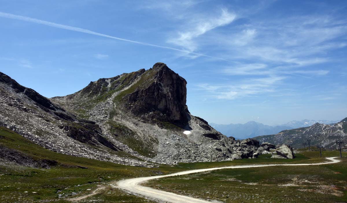
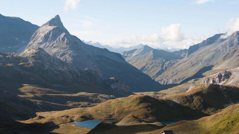
Long hike that can be done over two days, with the Glière or Palet shelters.

Already more than 200,000 users!
Uphill
1277m
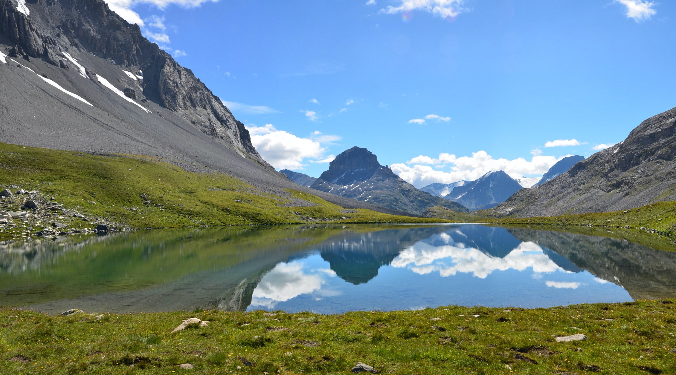
Highest point
2665m
Downhill
1277m
Lowest point
1566m
Route type
Loop
Download the map on your smartphone to save battery and rest assured to always keep access to the route, even without signal.
Includes IGN France and Swisstopo.
I indicate whether dogs are allowed or prohibited on this trail
From June to September
0 ratings
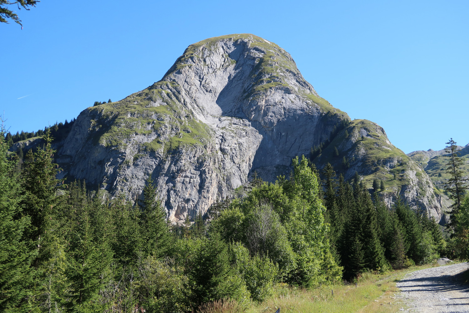
Also enjoy:

Already more than 200,000 users!