Uphill
657m
Length
9km
Duration
4h30min
Elev gain
657m
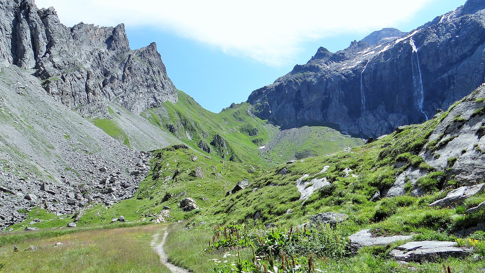
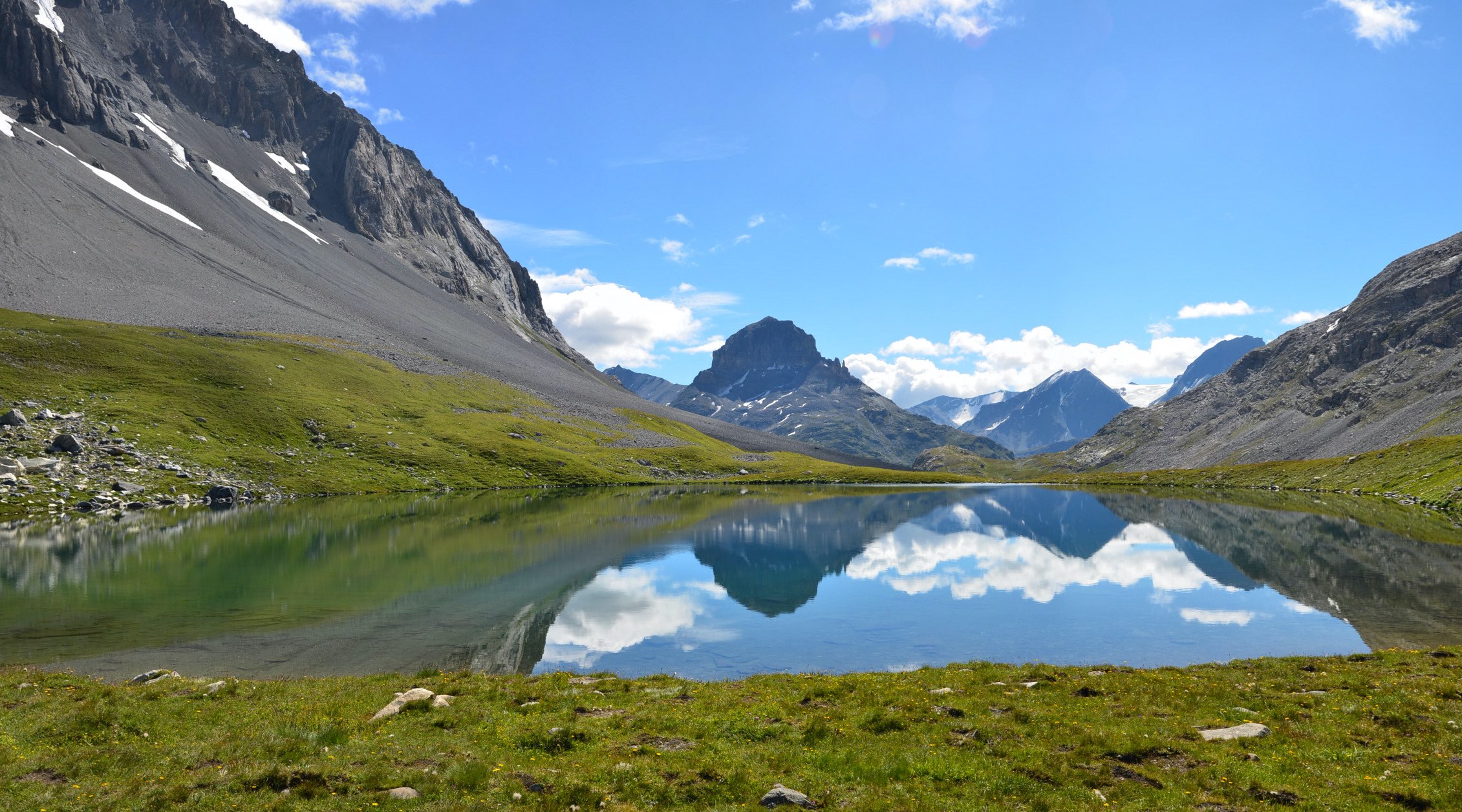
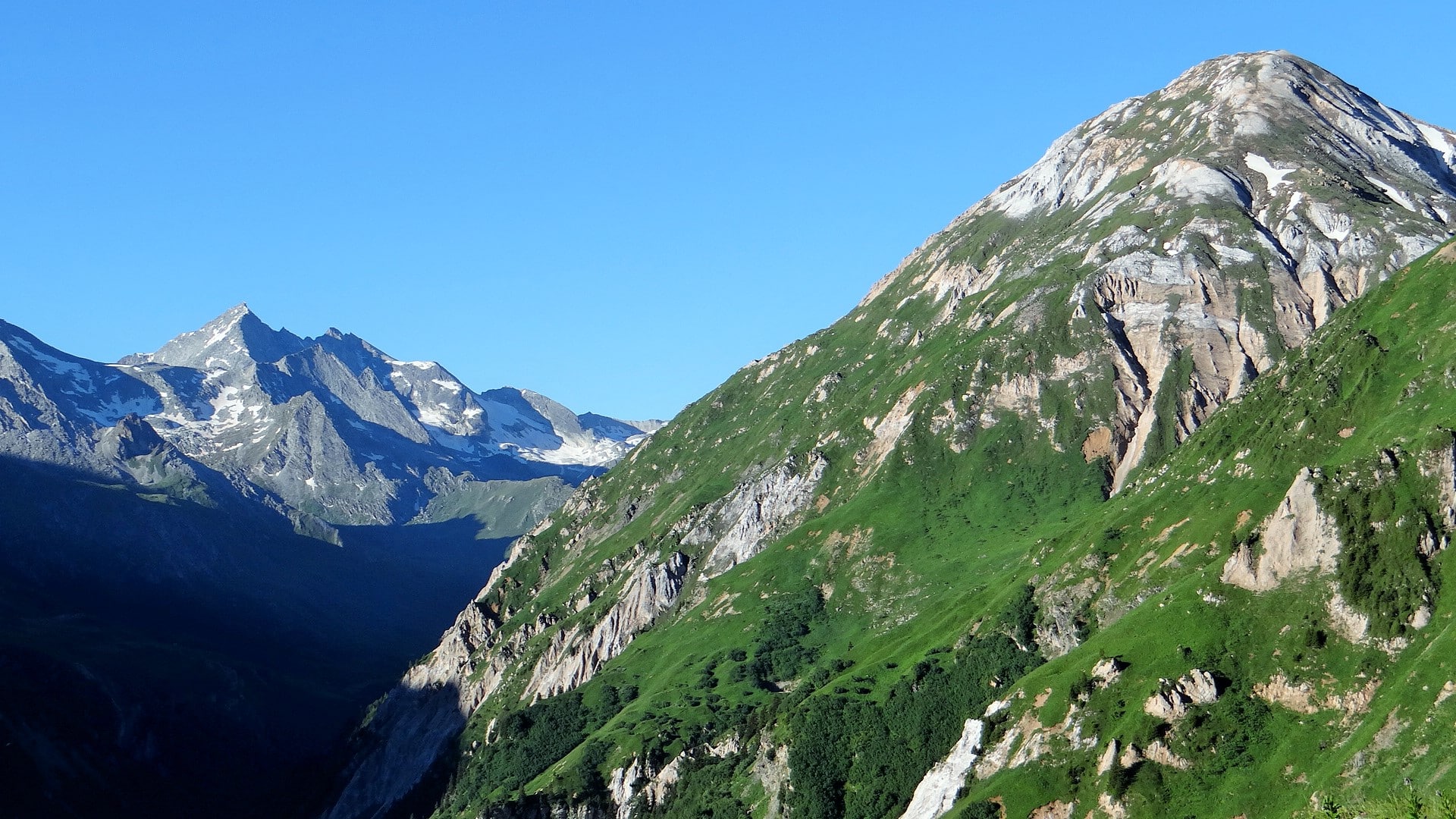
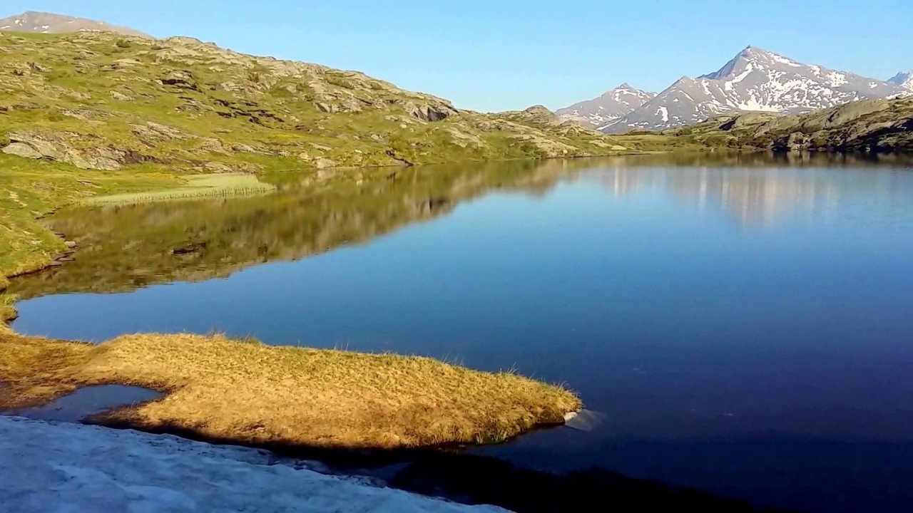
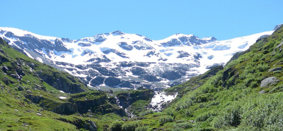
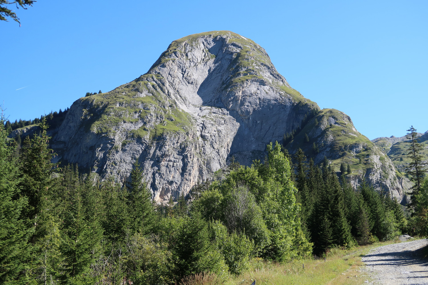
Beautiful hike in the heart of the Tarentaise. The trail leads to Moriond at 2,297 metres and passes through the Refuge des Barmettes. The view of the Bozel valley is very pretty.

Already more than 200,000 users!
Uphill
657m
Highest point
2281m
Downhill
657m
Lowest point
1645m
Route type
Loop
Download the map on your smartphone to save battery and rest assured to always keep access to the route, even without signal.
Includes IGN France and Swisstopo.
I indicate whether dogs are allowed or prohibited on this trail
From May to September
0 ratings
Also enjoy:

Already more than 200,000 users!