Uphill
876m
Length
12km
Duration
6h
Elev gain
876m
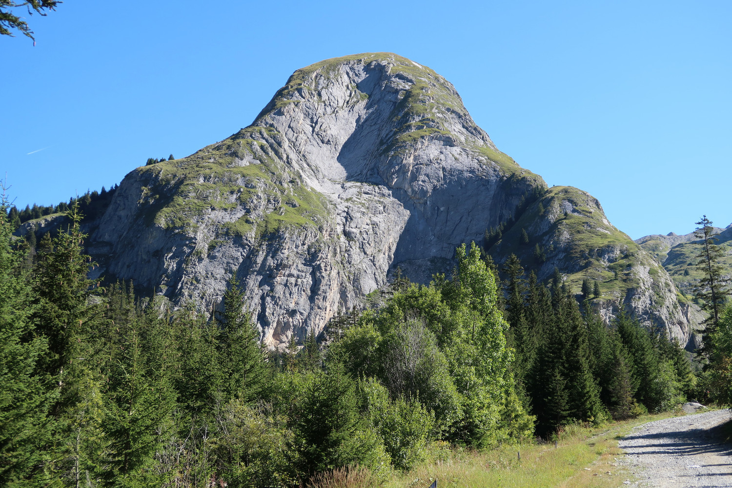
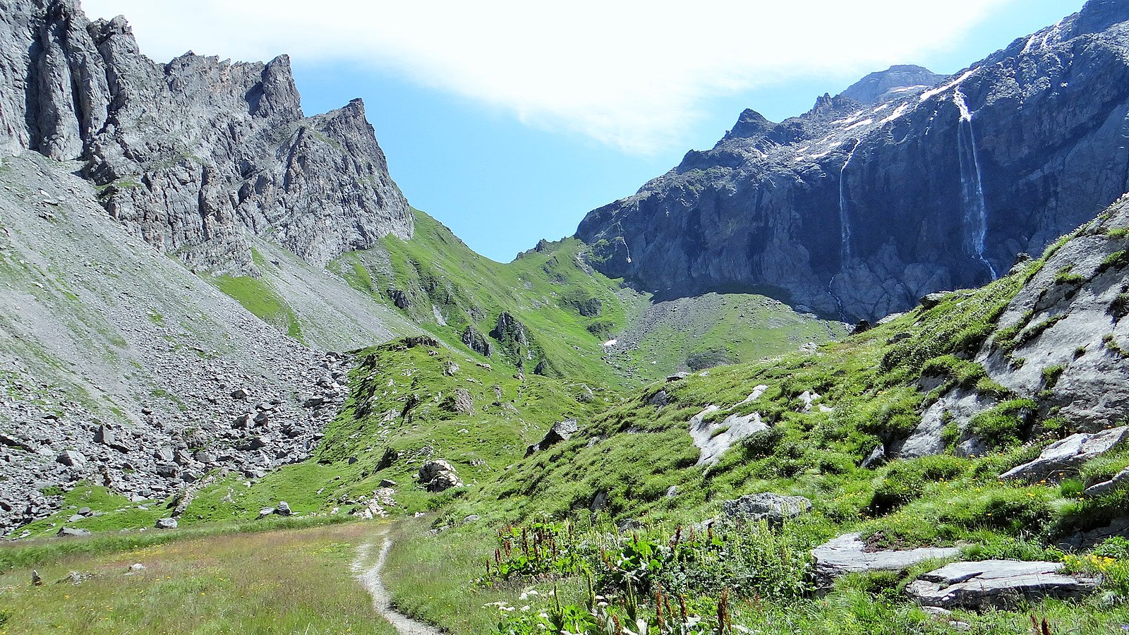
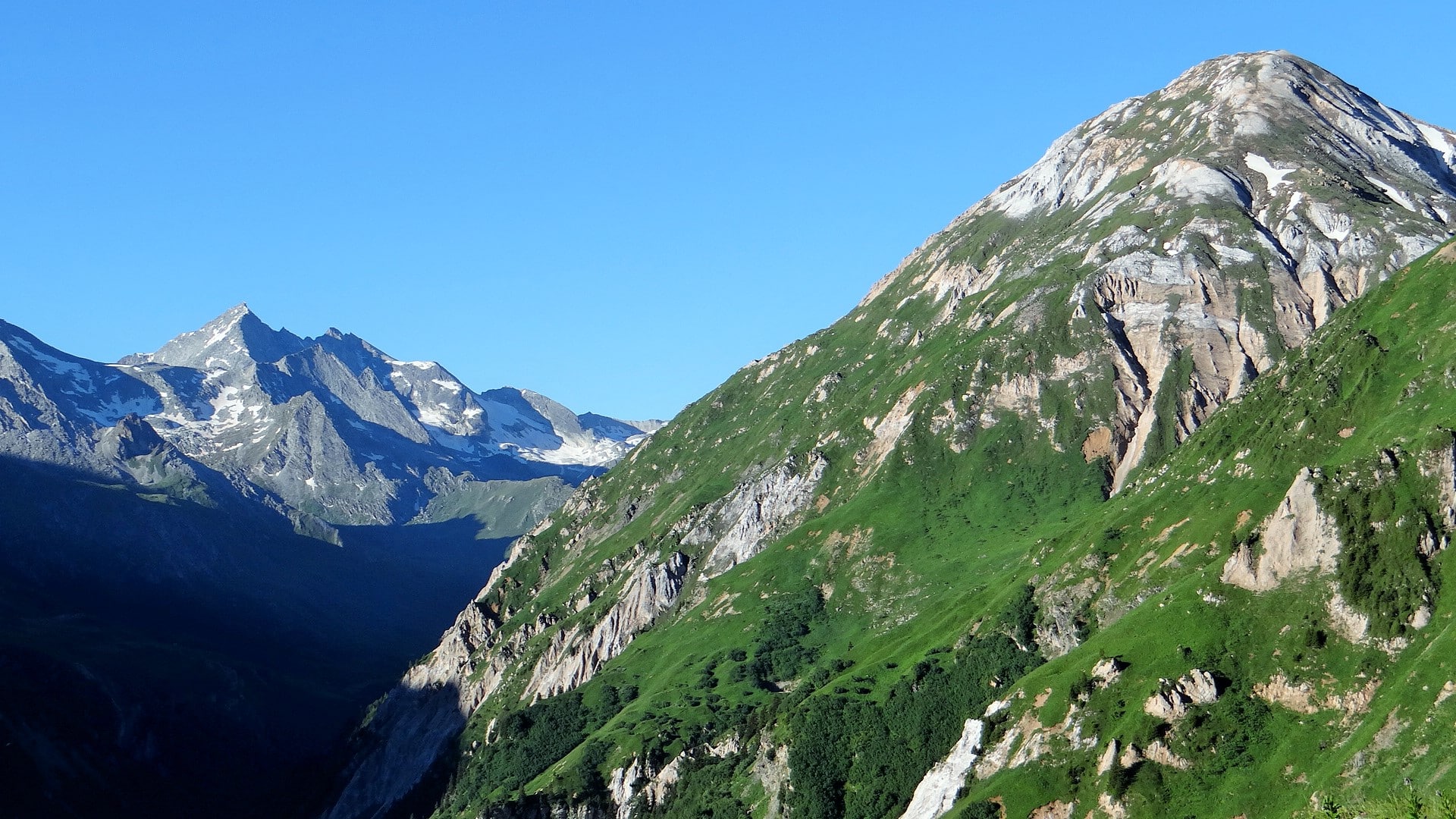
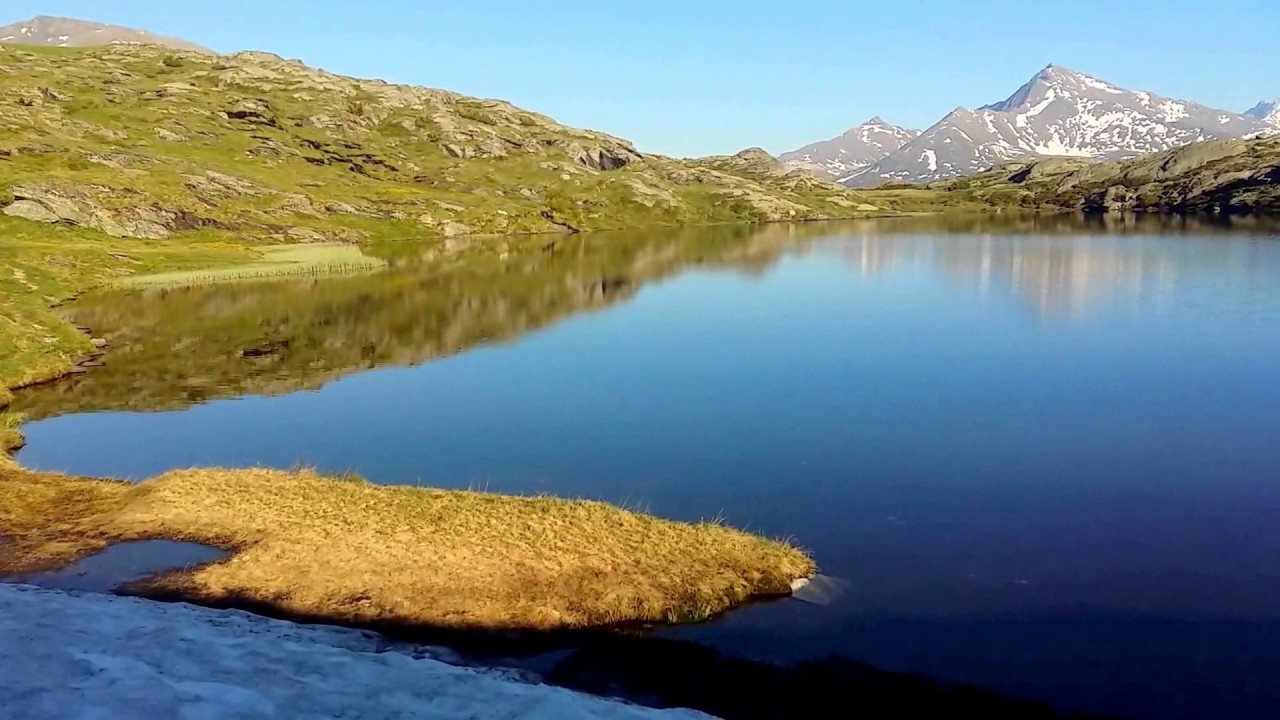
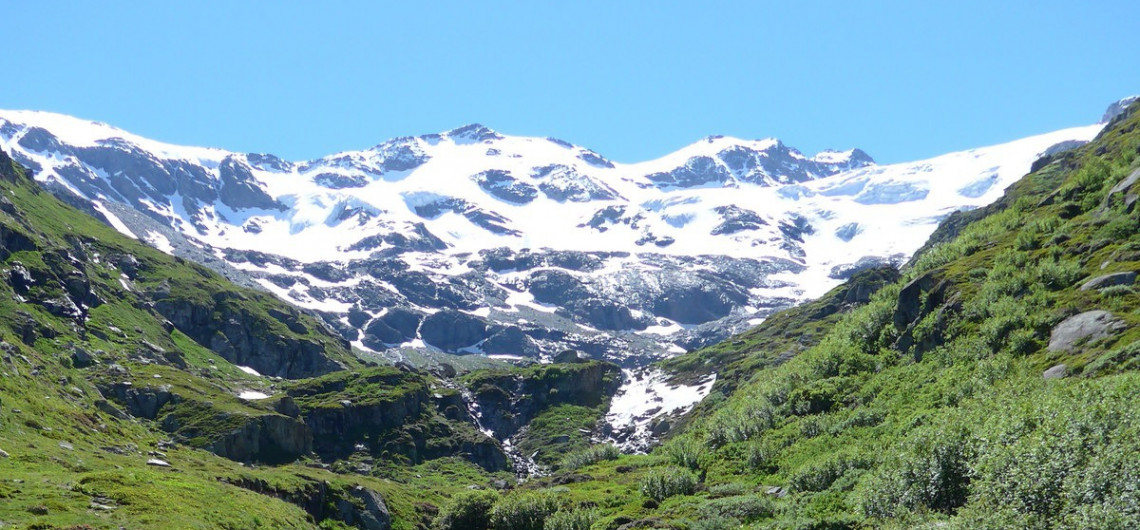
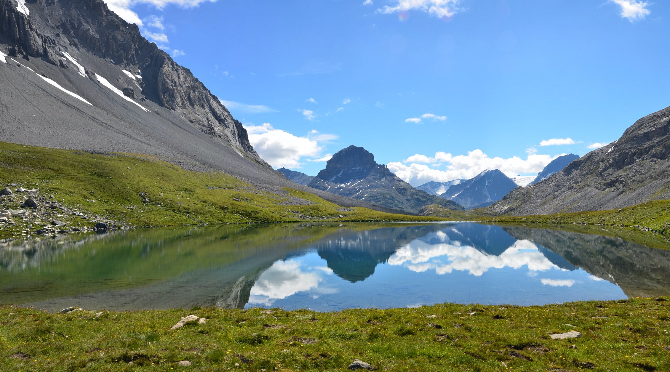
Varied trail, which will take you from a forest to the Col de la Vanoise, passing next to the Lac des Vaches.

Already more than 200,000 users!
Uphill
876m
Highest point
2516m
Downhill
876m
Lowest point
1645m
Route type
Loop
Download the map on your smartphone to save battery and rest assured to always keep access to the route, even without signal.
Includes IGN France and Swisstopo.
I indicate whether dogs are allowed or prohibited on this trail
From June to September
3 ratings
Also enjoy:

Already more than 200,000 users!