Uphill
1191m
Length
21km
Duration
9h
Elev gain
1191m
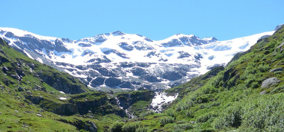
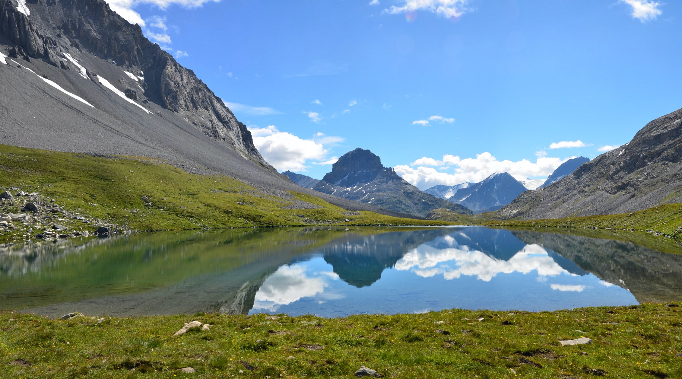
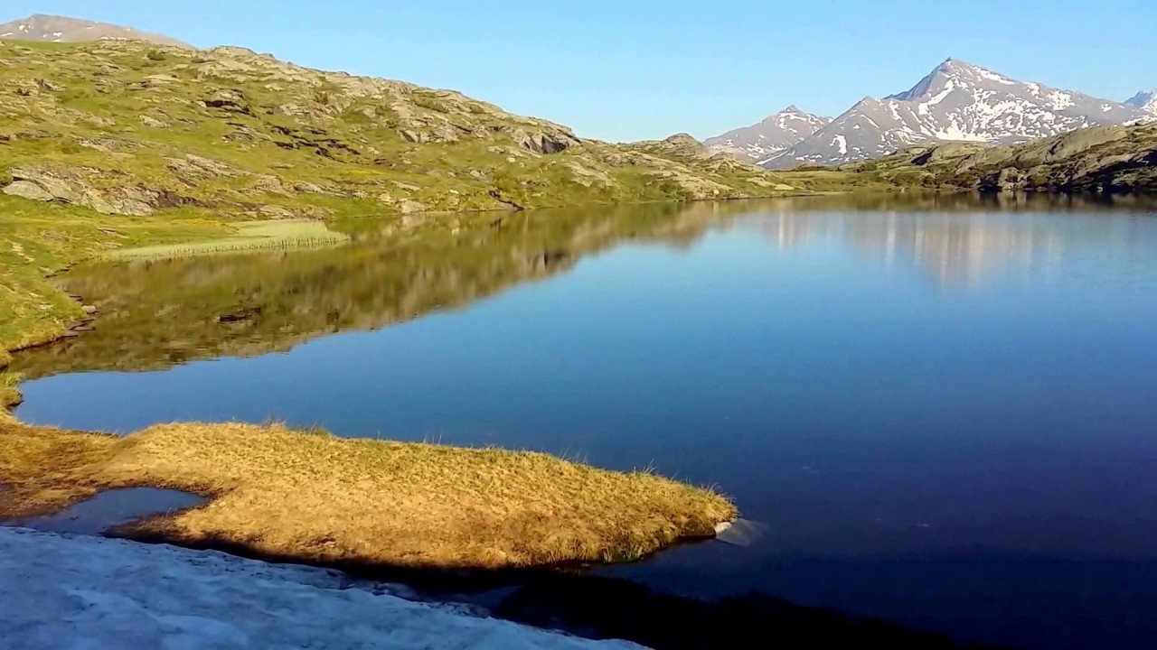
Pass by the Péclet Polset refuge and Lac Blanc, before reaching the Col du Soufre and its 2819 m.

Already more than 200,000 users!
Uphill
1191m
Highest point
2807m
Downhill
1191m
Lowest point
1766m
Route type
There and back
Download the map on your smartphone to save battery and rest assured to always keep access to the route, even without signal.
Includes IGN France and Swisstopo.
I indicate whether dogs are allowed or prohibited on this trail
From June to September
0 ratings
Also enjoy:

Already more than 200,000 users!