Uphill
1097m
Length
12km
Duration
7h30min
Elev gain
1097m
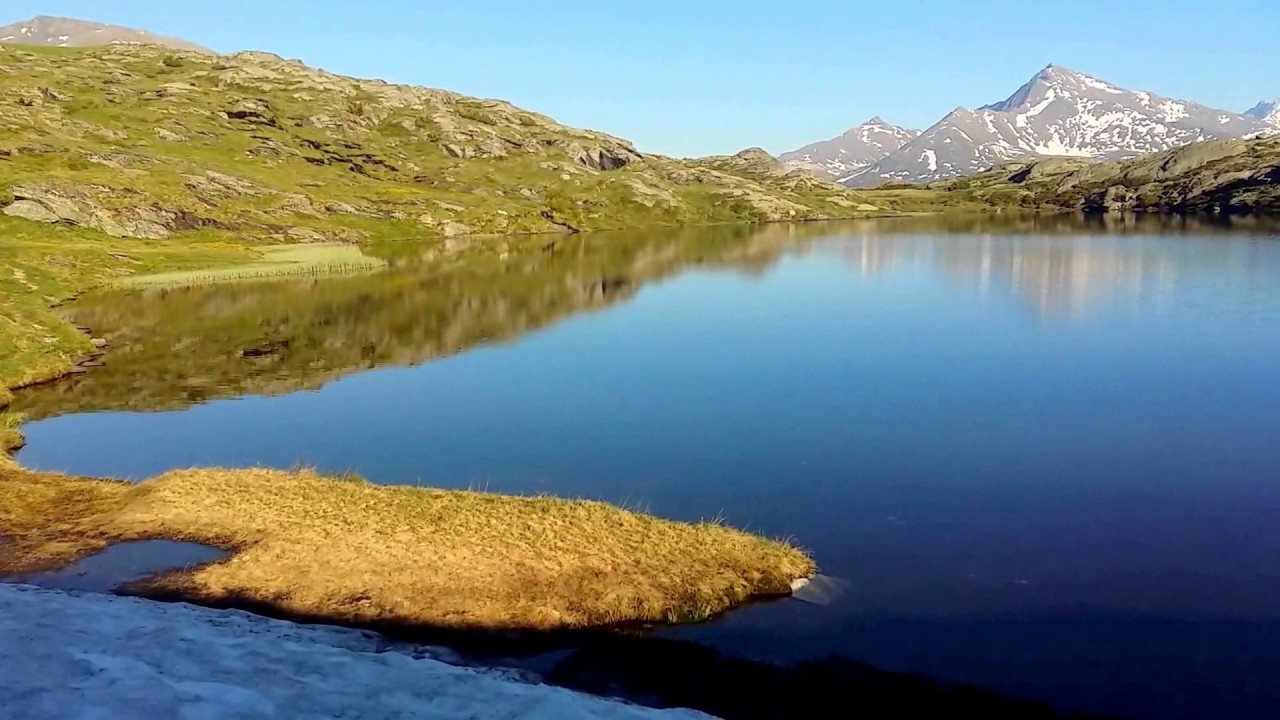
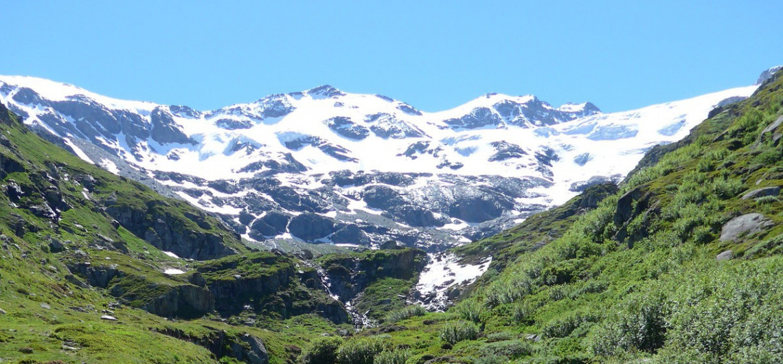
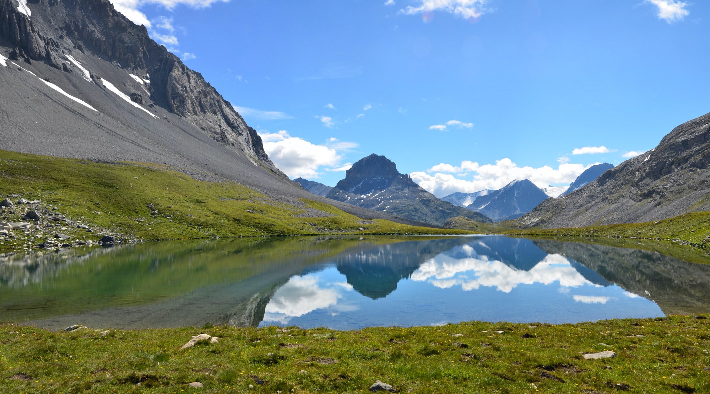
The summit offers a very beautiful point of view on the Vanoise and Grande Casse glaciers.

Already more than 200,000 users!
Uphill
1097m
Highest point
2669m
Downhill
1097m
Lowest point
1595m
Route type
Loop
Download the map on your smartphone to save battery and rest assured to always keep access to the route, even without signal.
Includes IGN France and Swisstopo.
I indicate whether dogs are allowed or prohibited on this trail
From June to September
0 ratings
Also enjoy:

Already more than 200,000 users!