Uphill
472m
Length
12km
Duration
4h
Elev gain
472m
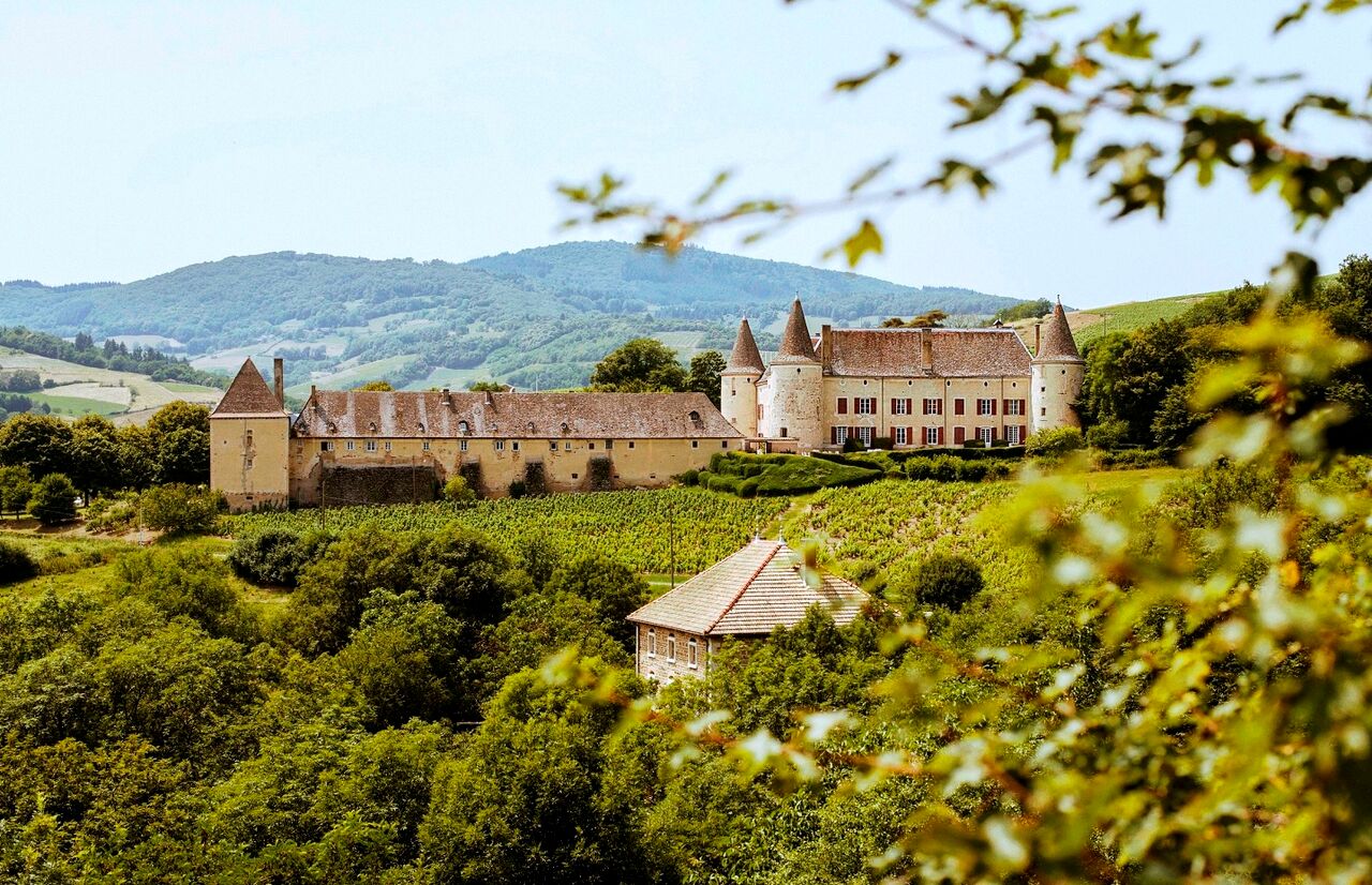
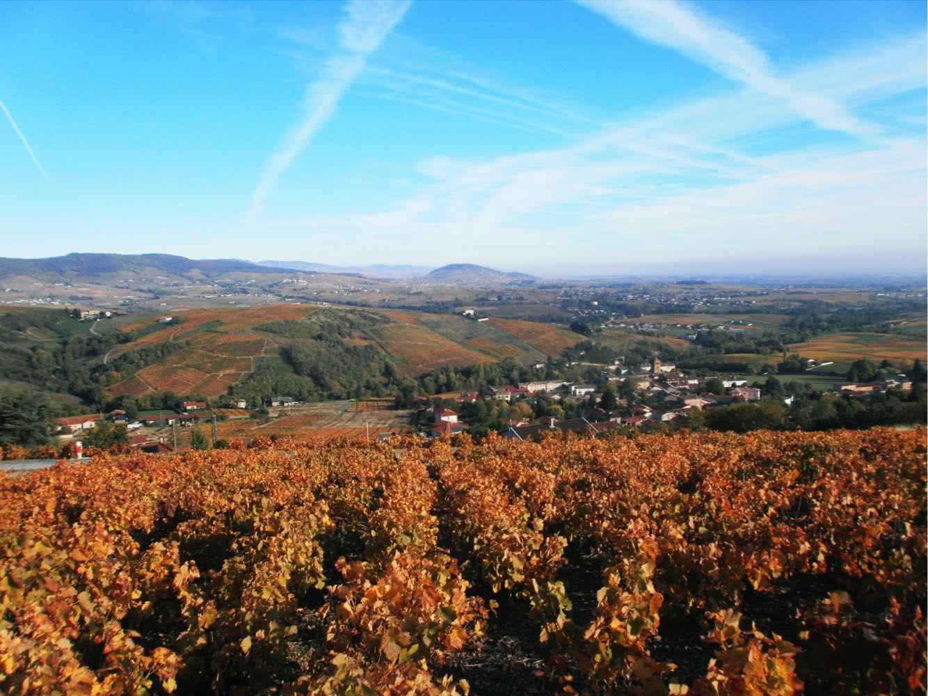
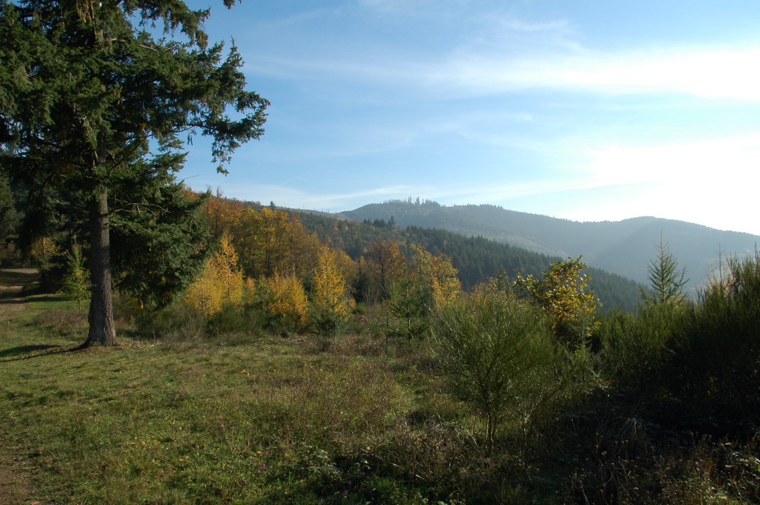
Departing from Mont Saint-Rigaud, the highest point in the Rhône department (1,009 m) located in Beaujolais, this circuit winds through the surrounding forest.
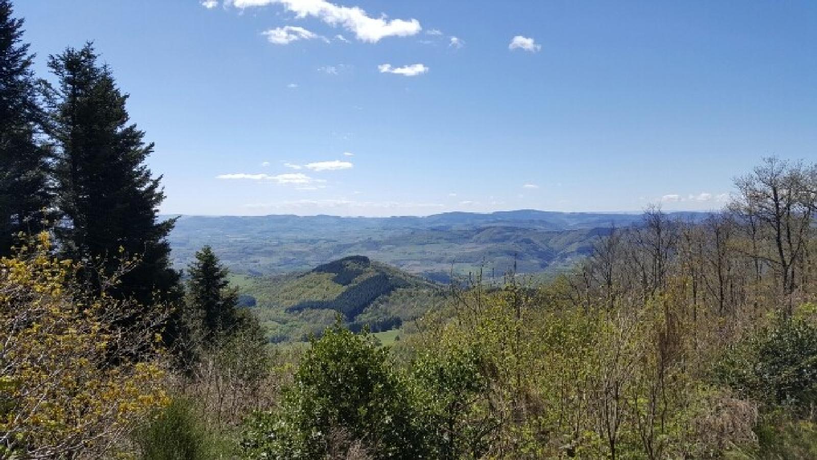
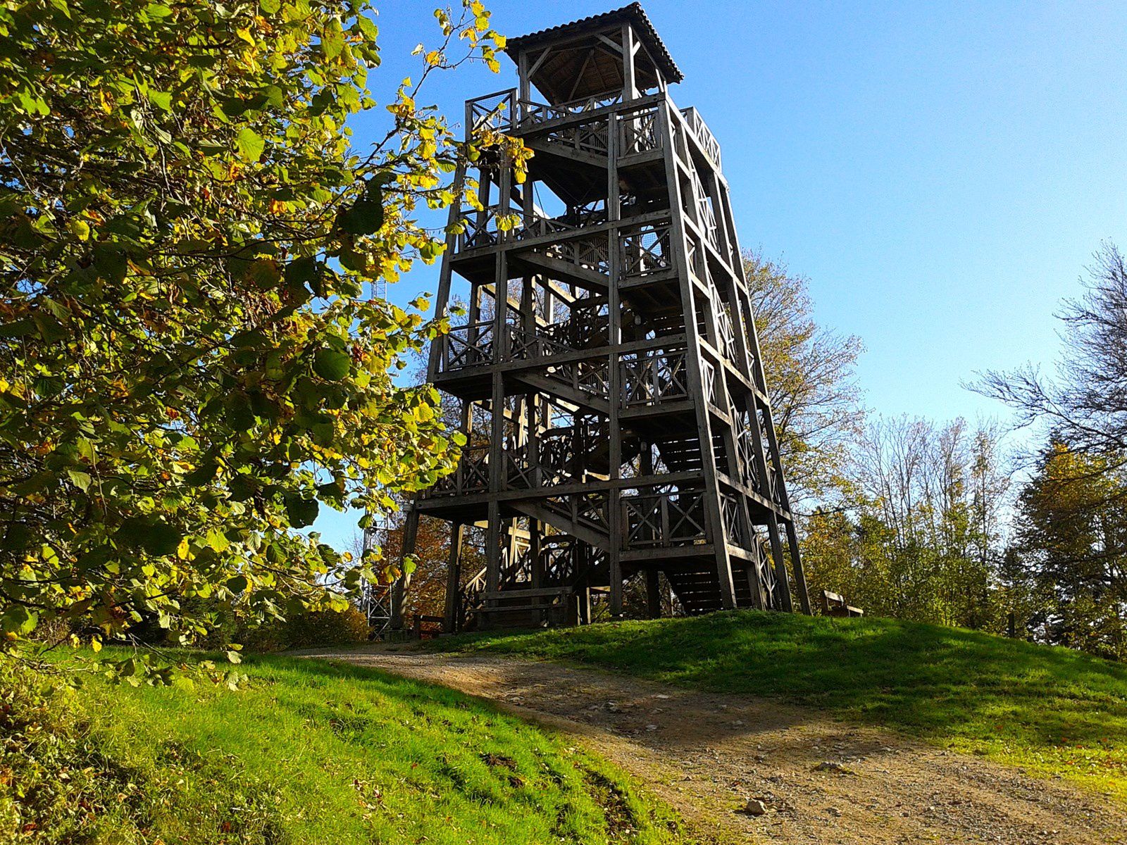
From the starting point, a wooden tower with an orientation table offers a 360 ° view.

Already more than 200,000 users!
Uphill
472m
Highest point
1006m
Downhill
472m
Lowest point
582m
Route type
Loop
Download the map on your smartphone to save battery and rest assured to always keep access to the route, even without signal.
Includes IGN France and Swisstopo.
I indicate whether dogs are allowed or prohibited on this trail
Can be difficult in Winter
1 rating
Also enjoy:

Already more than 200,000 users!