Uphill
1093m
Length
13km
Duration
7h30min
Elev gain
1093m
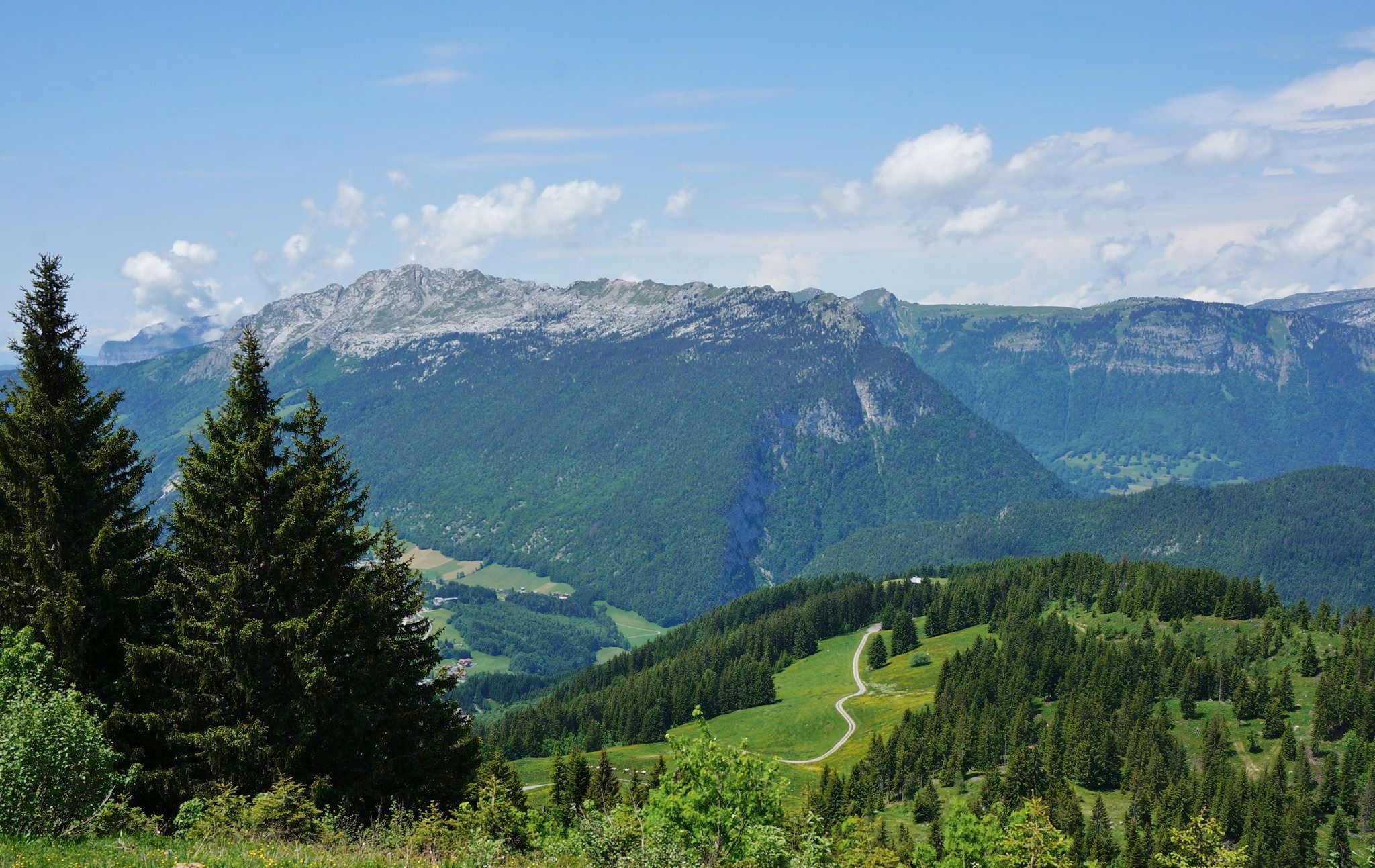
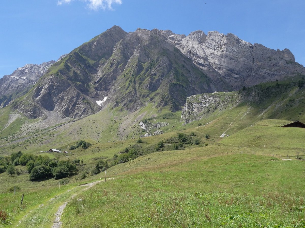
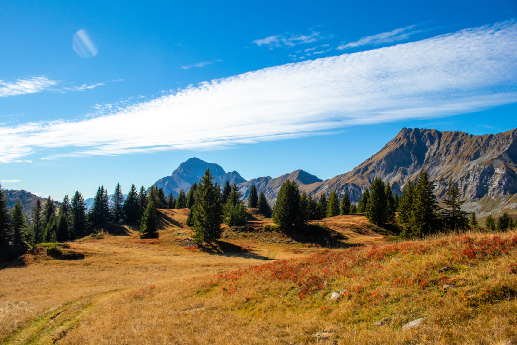
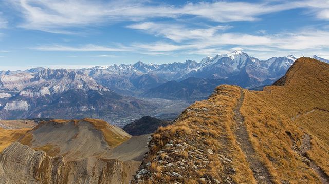
Starting from the Col des Confins, this hike reaches the Pointe de Tardevant (2,501 m) after a relatively arduous and aerial ascent at the end. The summit offers a magnificent 360° panorama of the Northern Alps.

Already more than 200,000 users!
Uphill
1093m
Highest point
2489m
Downhill
1093m
Lowest point
1440m
Route type
Loop
Download the map on your smartphone to save battery and rest assured to always keep access to the route, even without signal.
Includes IGN France and Swisstopo.
1 rating
Also enjoy:

Already more than 200,000 users!