Uphill
818m
Length
11km
Duration
5h30min
Elev gain
818m
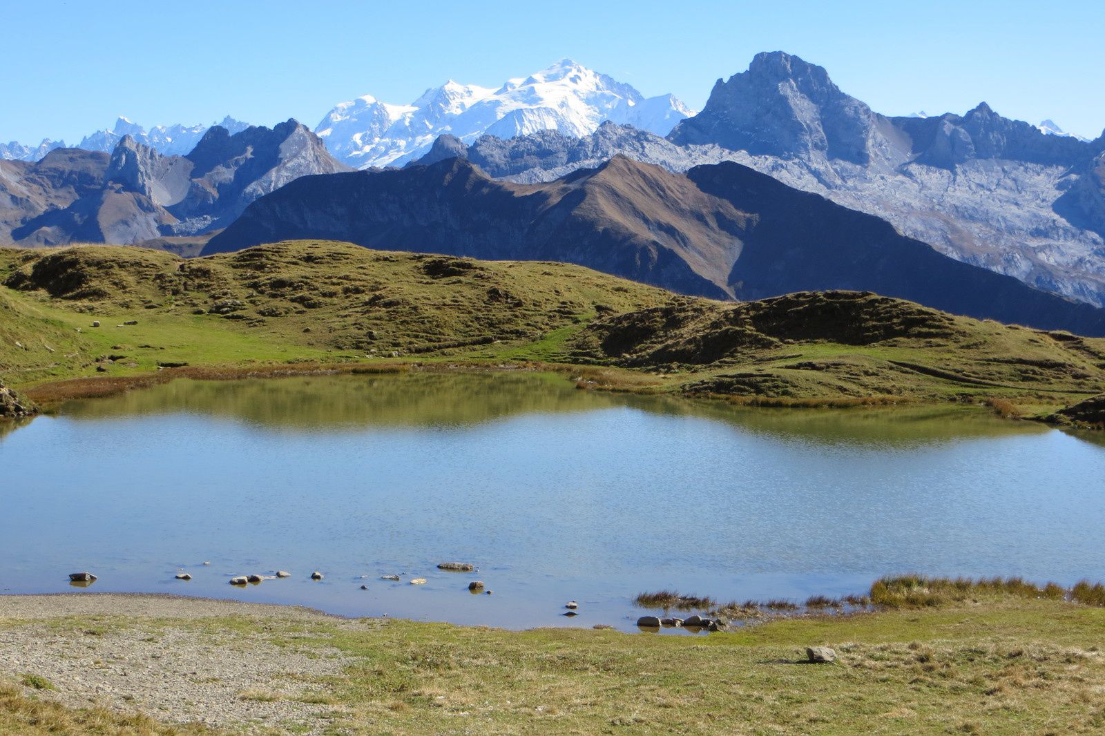
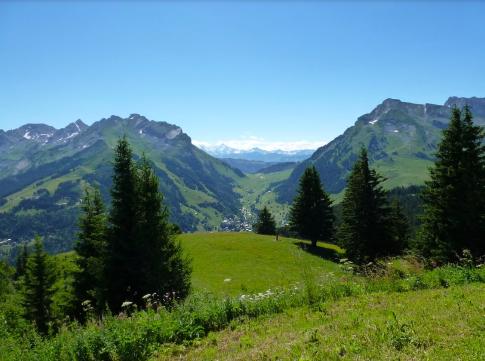
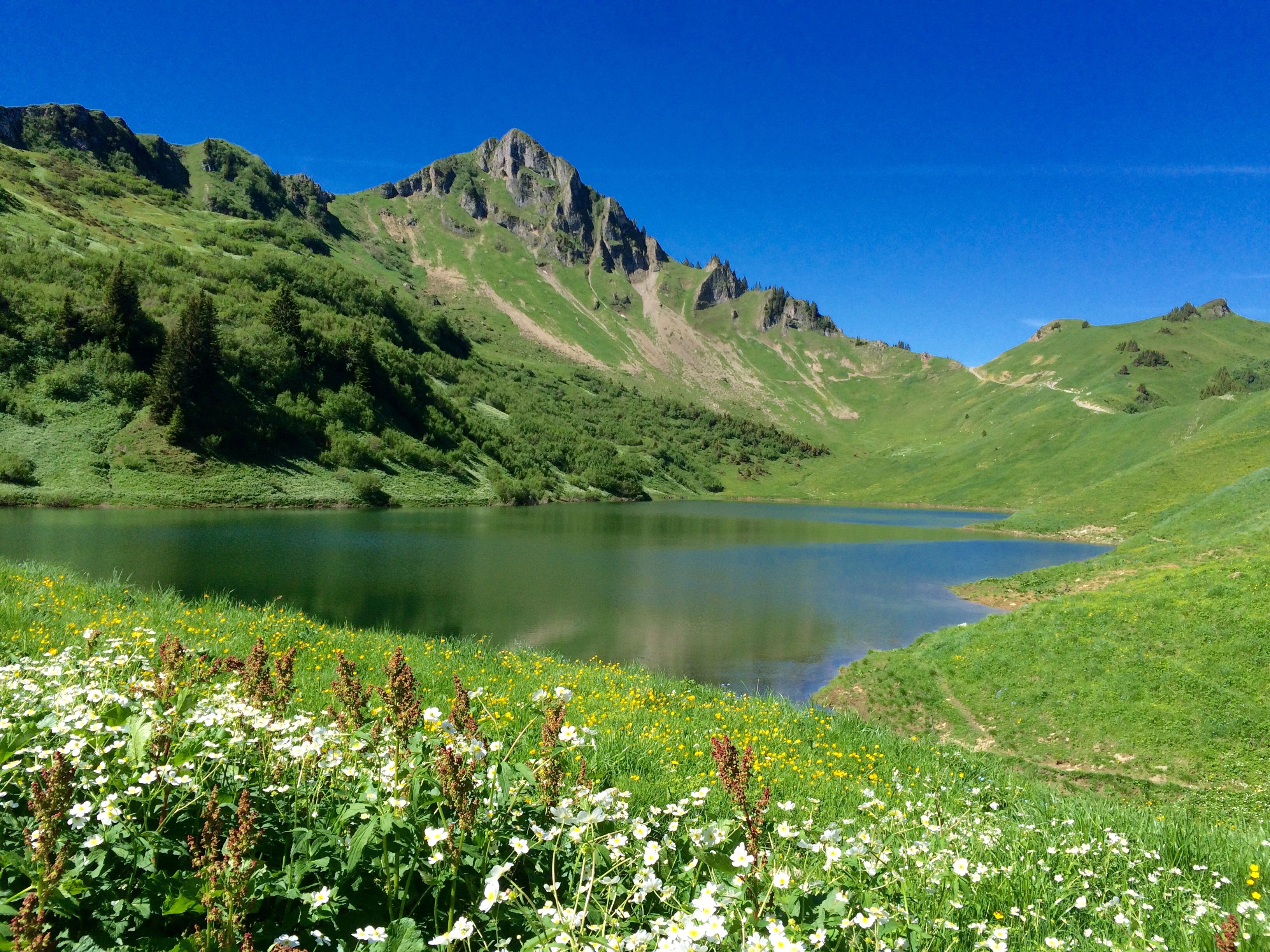
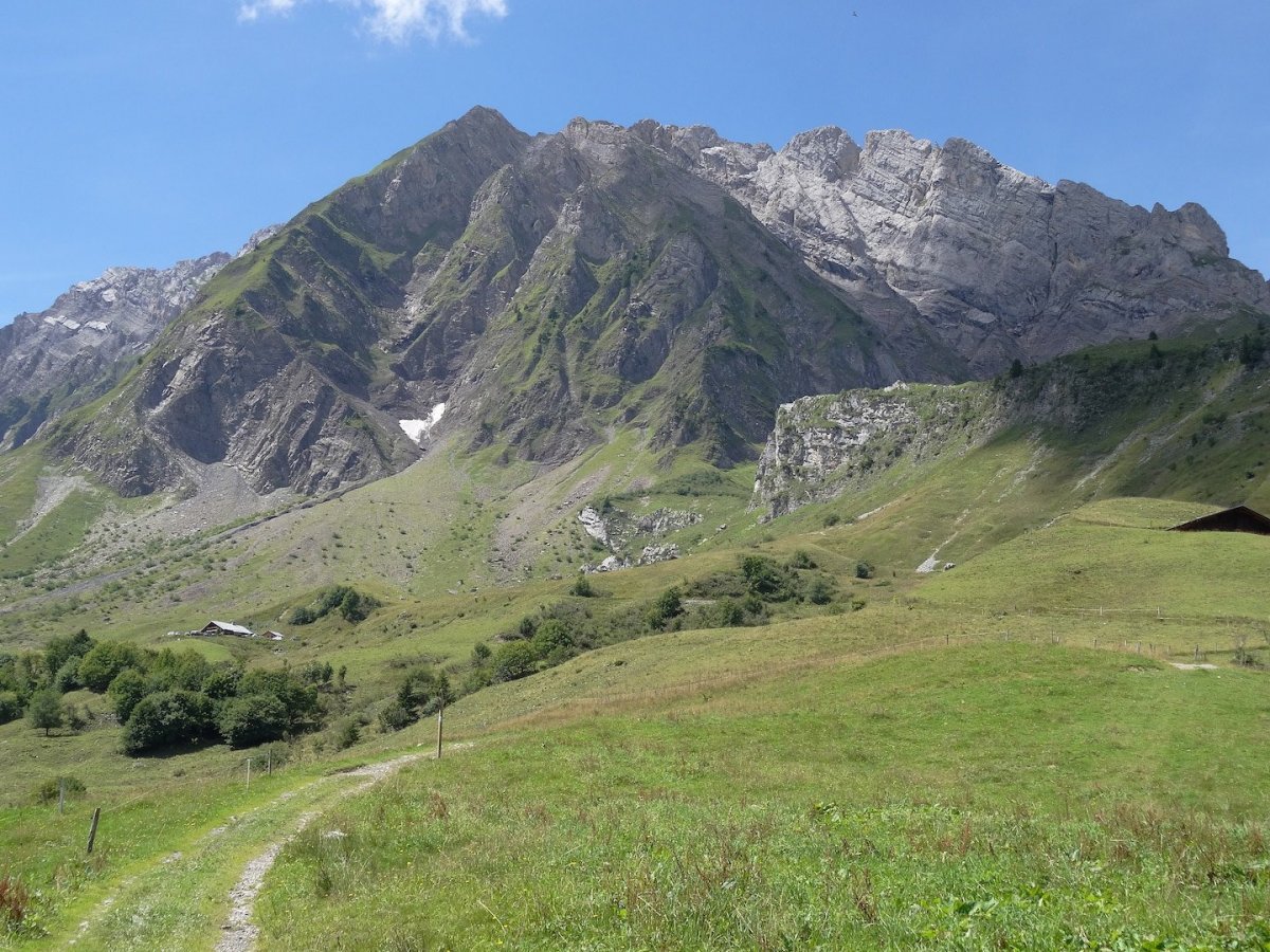
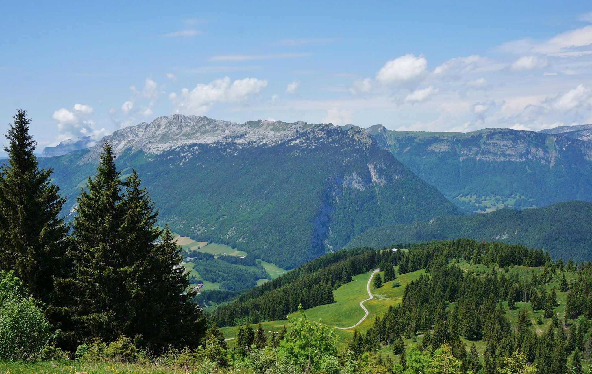
Here is a pleasant hike from Le Grand-Bornand leading to the Tête du Danay. The panorama over all of the Aravis is splendid. Picnic tables are available along the path.

Already more than 200,000 users!
Uphill
818m
Highest point
1724m
Downhill
818m
Lowest point
918m
Route type
Loop
Download the map on your smartphone to save battery and rest assured to always keep access to the route, even without signal.
Includes IGN France and Swisstopo.
I indicate whether dogs are allowed or prohibited on this trail
From May to October
1 rating
Also enjoy:

Already more than 200,000 users!