Uphill
869m
Length
8km
Duration
5h30min
Elev gain
869m
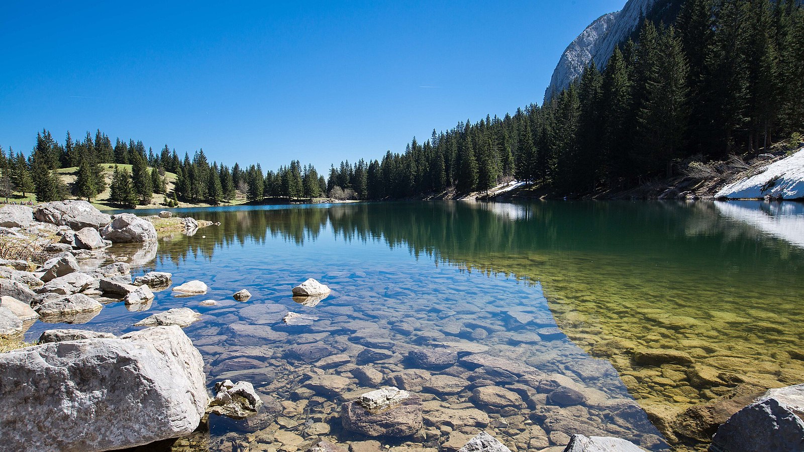
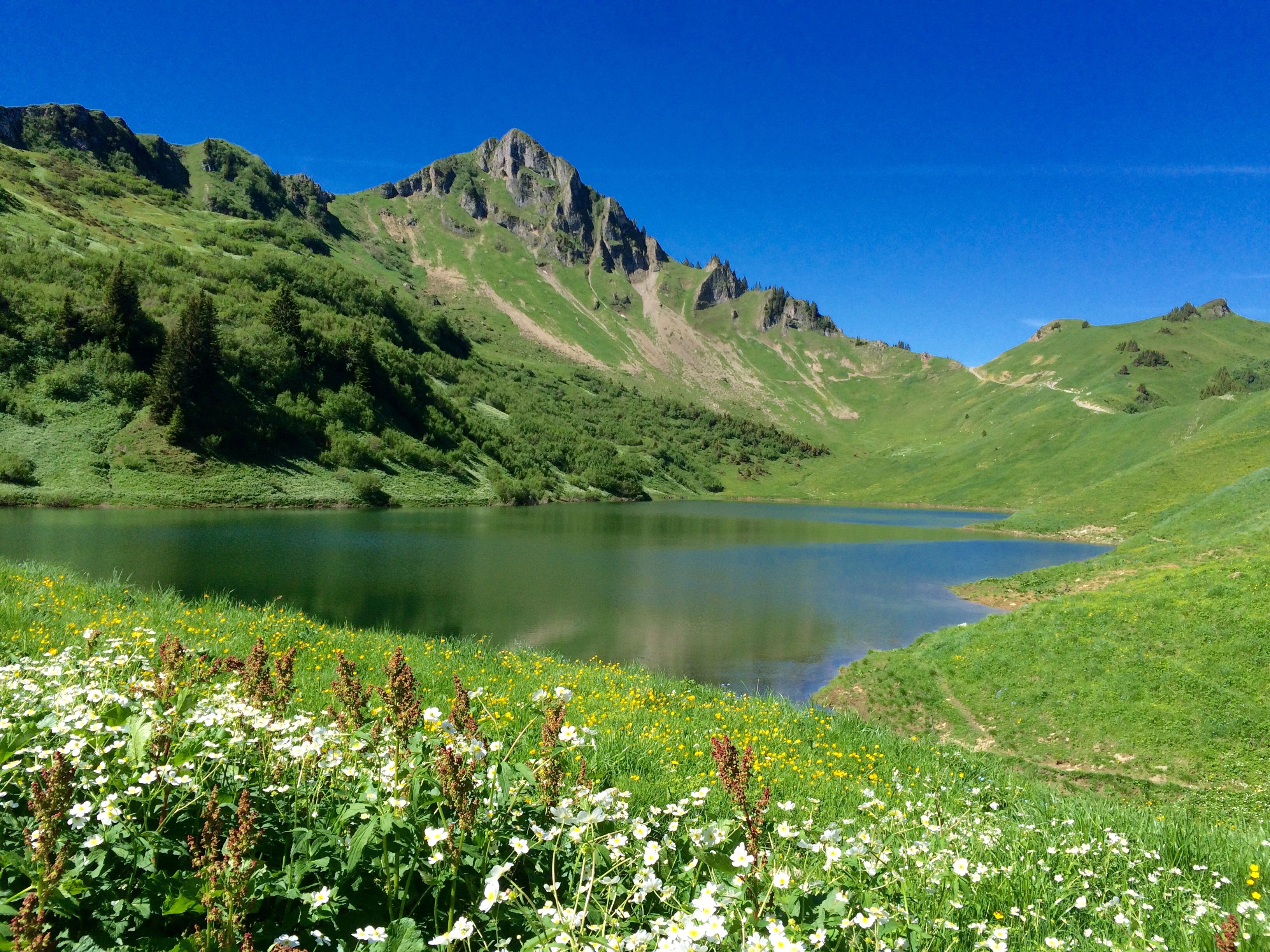
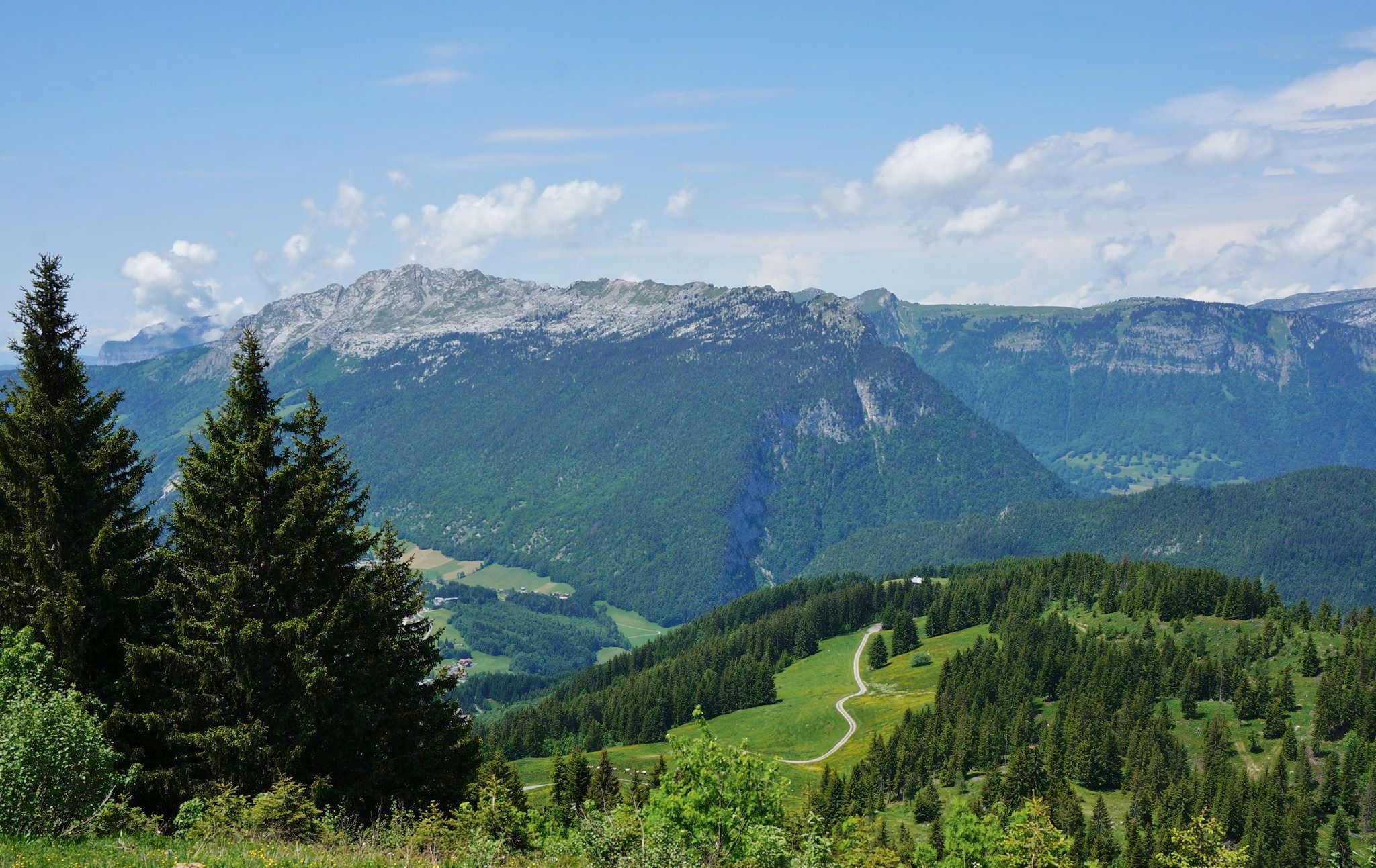
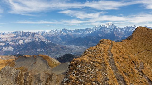
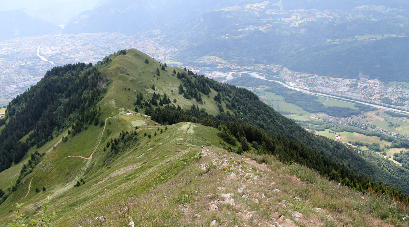
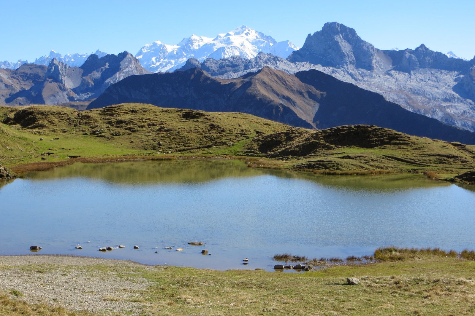
Hike to the pretty Lac de Peyre, then continuing to the Pointe de Balafrasse and Pointe du Midi. Magnificent panorama of Mont Blanc.
The path is quite rocky - bring shoes accordingly.

Already more than 200,000 users!
Uphill
869m
Highest point
2323m
Downhill
869m
Lowest point
1619m
Route type
Loop
Download the map on your smartphone to save battery and rest assured to always keep access to the route, even without signal.
Includes IGN France and Swisstopo.
I indicate whether dogs are allowed or prohibited on this trail
From May to September
1 rating
Also enjoy:

Already more than 200,000 users!