Uphill
746m
Length
8km
Duration
5h
Elev gain
746m
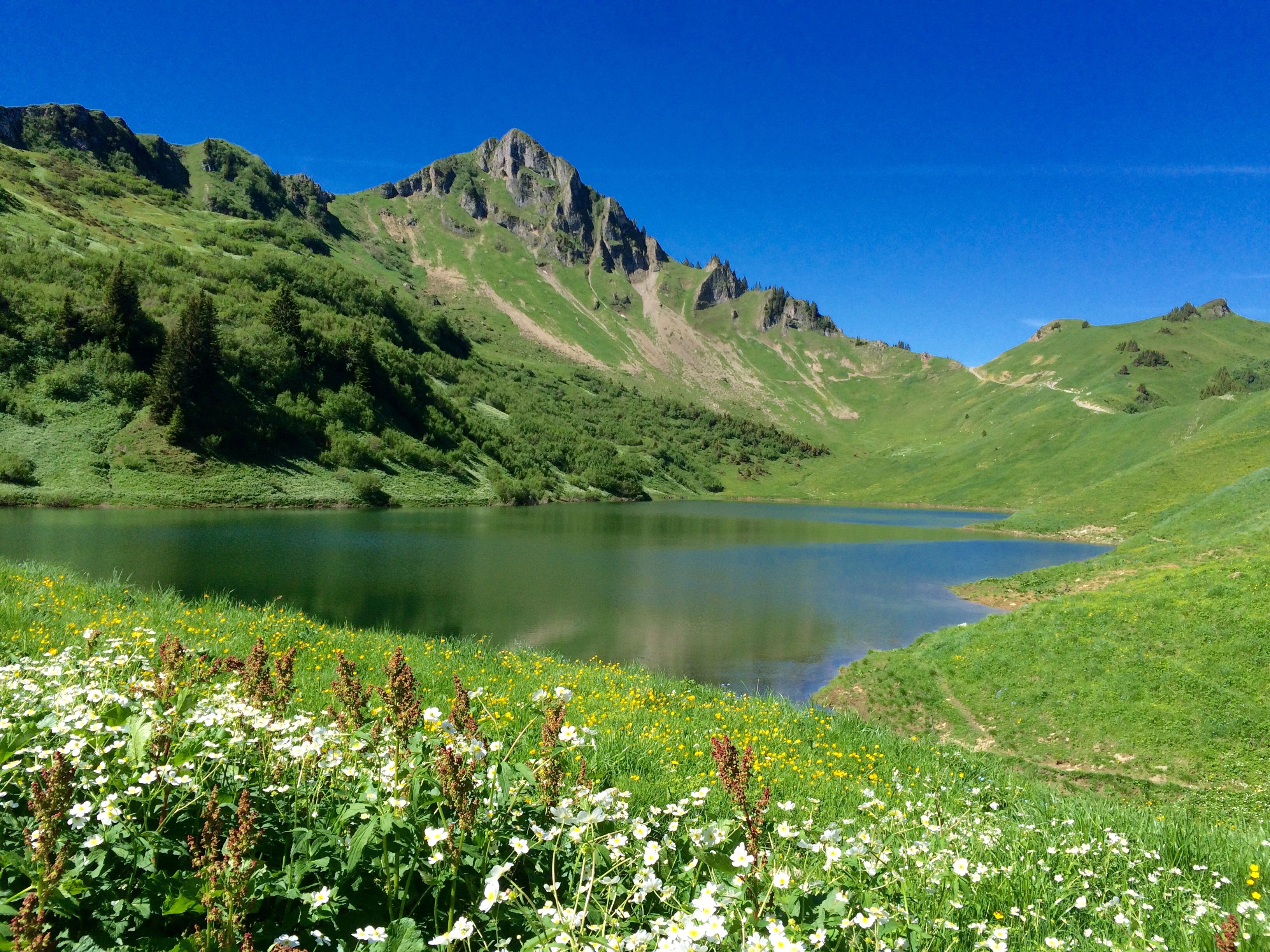
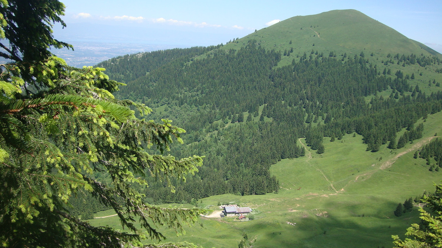
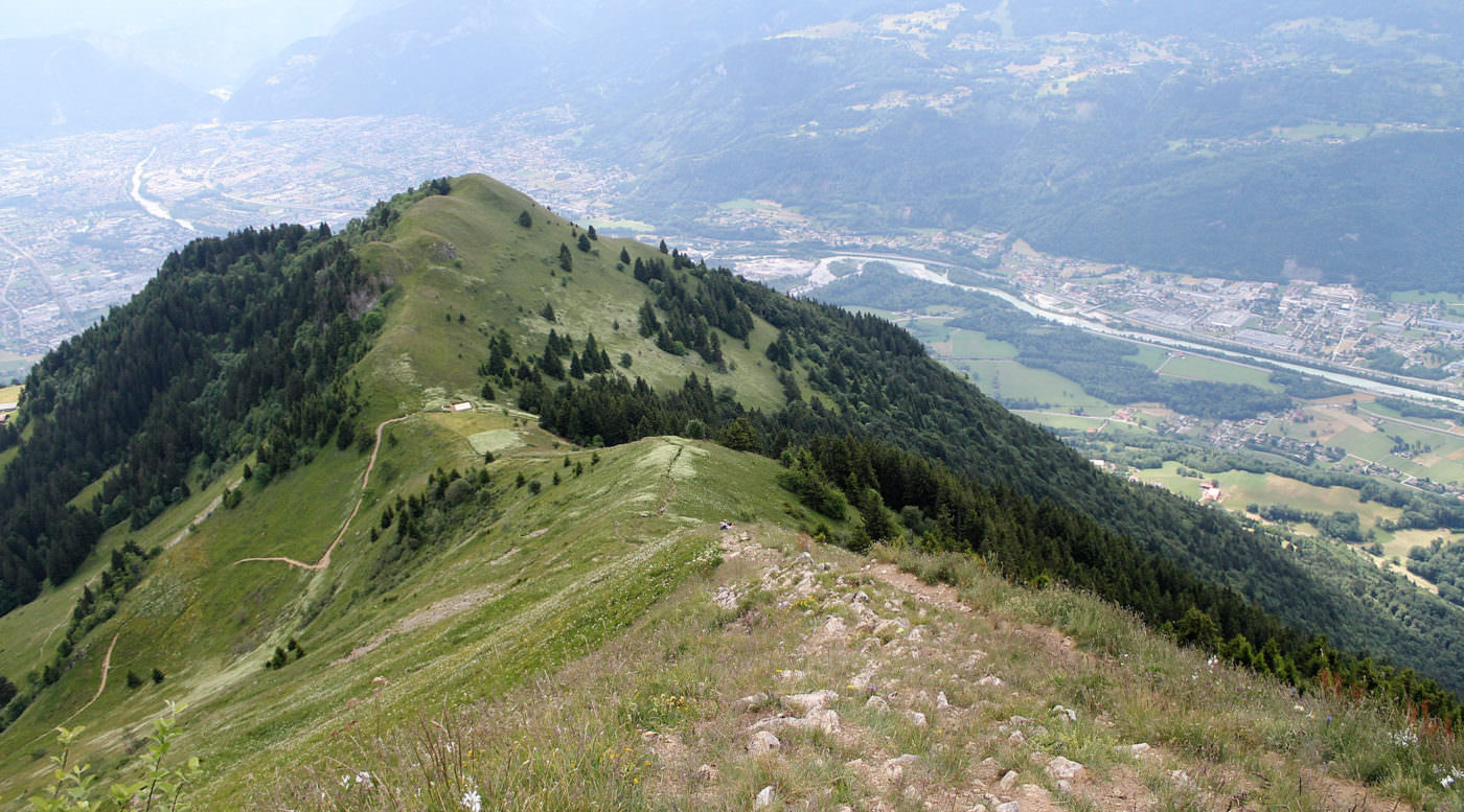
A short hike but with a significant elevation gain, which takes a line of crests leading from the Écutieux to the Môle (1,863 m).
Very nice view of the surrounding valleys.

Already more than 200,000 users!
Uphill
746m
Highest point
1844m
Downhill
746m
Lowest point
1154m
Route type
Loop
Download the map on your smartphone to save battery and rest assured to always keep access to the route, even without signal.
Includes IGN France and Swisstopo.
I indicate whether dogs are allowed or prohibited on this trail
From May to October
7 ratings
Très bien
Also enjoy:

Already more than 200,000 users!