Uphill
234m
Length
4km
Duration
1h30min
Elev gain
234m
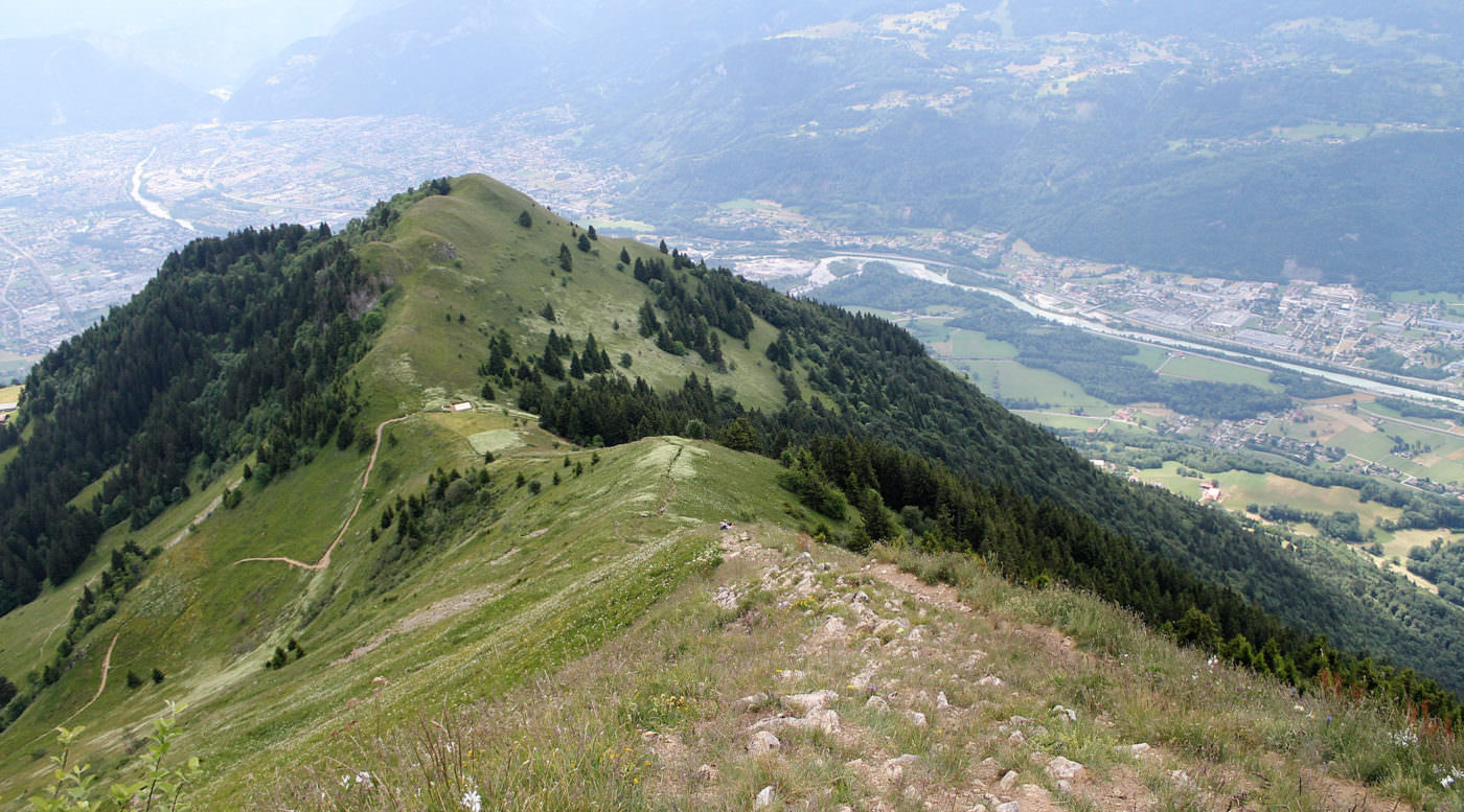
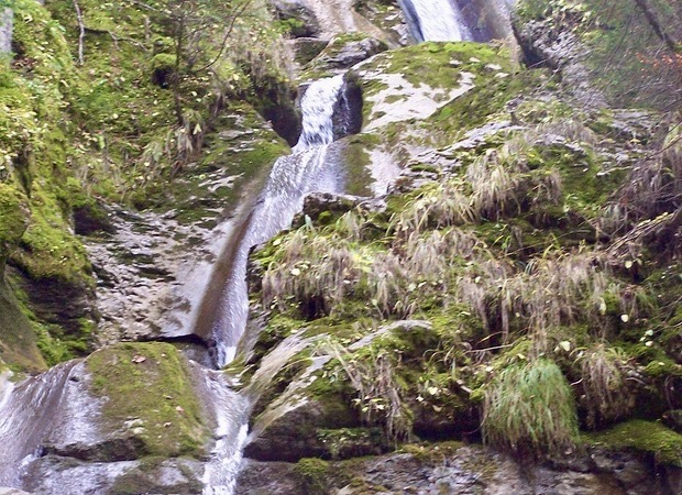
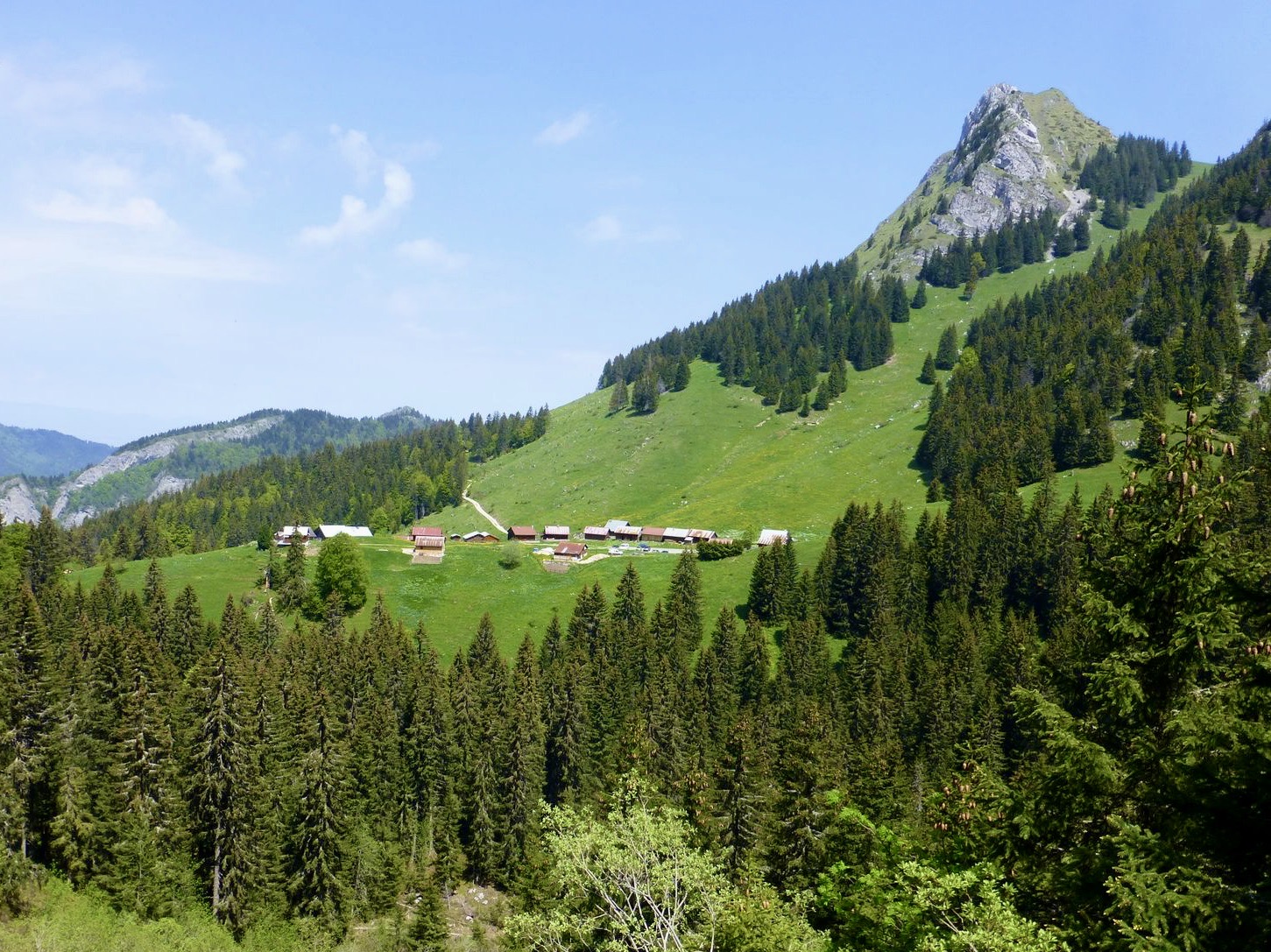
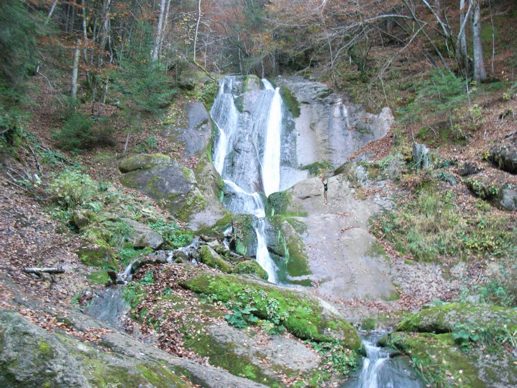
After a relatively steep start, the panorama opens up and the landscapes are varied: Gayan woods, meadows, castle, Penaz waterfall. A calm and pleasant outing.

Already more than 200,000 users!
Uphill
234m
Highest point
1101m
Downhill
234m
Lowest point
863m
Route type
Loop
Download the map on your smartphone to save battery and rest assured to always keep access to the route, even without signal.
Includes IGN France and Swisstopo.
I indicate whether dogs are allowed or prohibited on this trail
Can be difficult in Winter
5 ratings
Also enjoy:

Already more than 200,000 users!