Uphill
722m
Length
6km
Duration
4h30min
Elev gain
722m
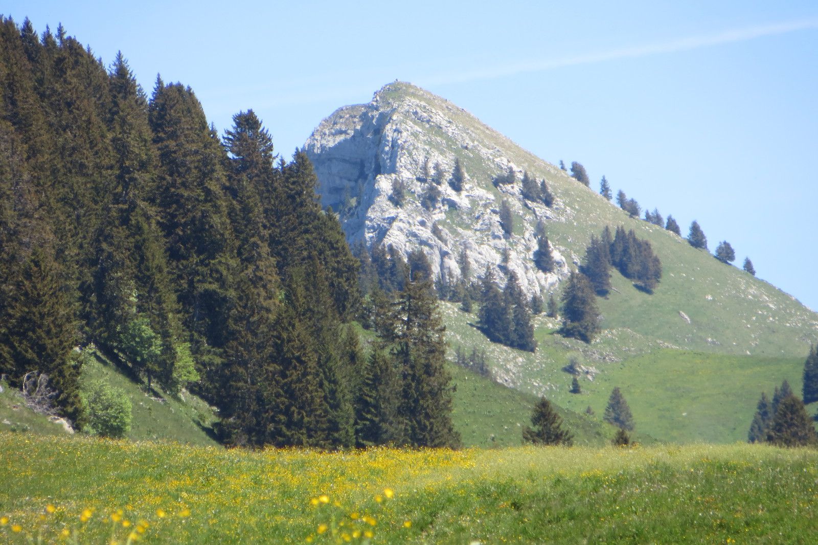
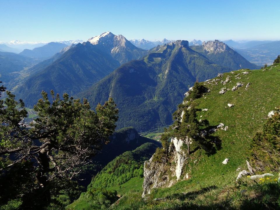
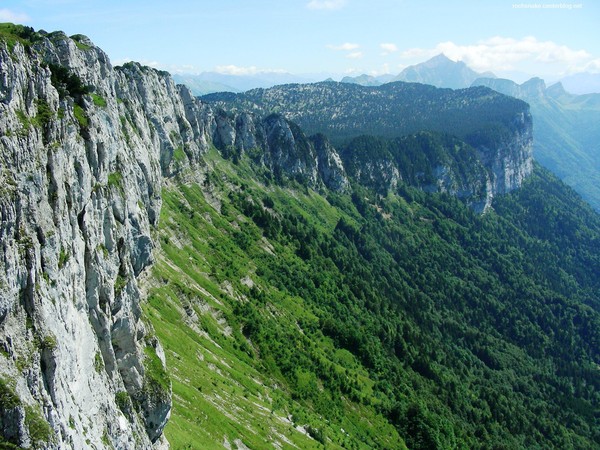
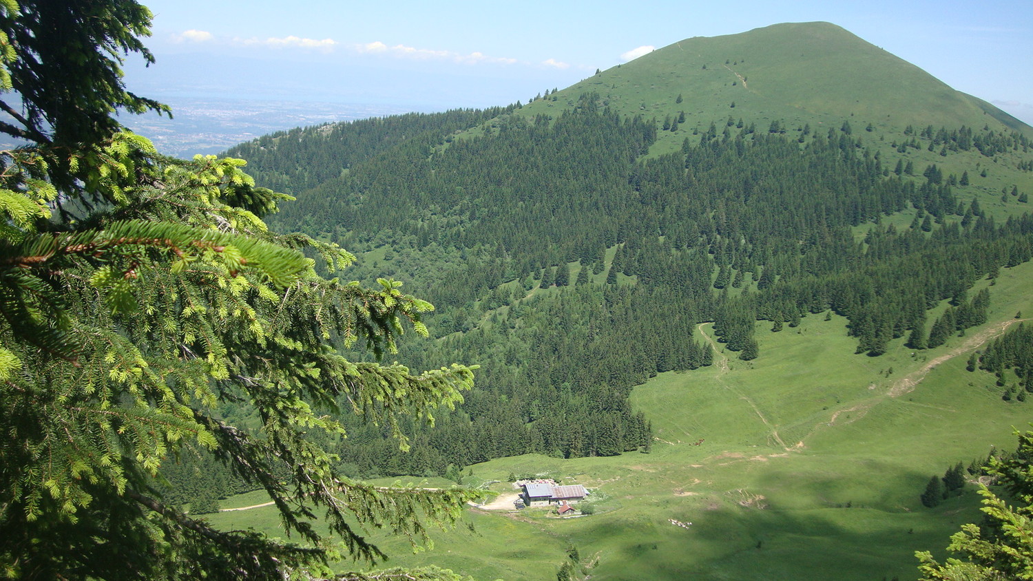
Ascent to the Pointe de Sur Cou at 1,809 meters. The summit offers a 360° panorama over the Lake Geneva plateau, the Jura chain, the Mont-Blanc massif, and the Bornes massif.

Already more than 200,000 users!
Uphill
722m
Highest point
1817m
Downhill
722m
Lowest point
1093m
Route type
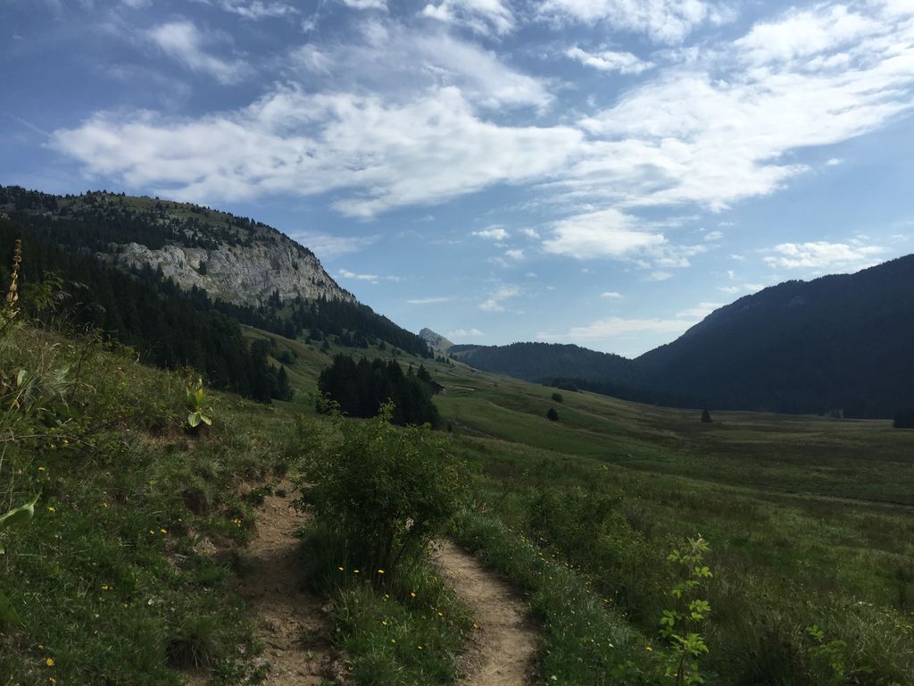
There and back
Download the map on your smartphone to save battery and rest assured to always keep access to the route, even without signal.
Includes IGN France and Swisstopo.
I indicate whether dogs are allowed or prohibited on this trail
From May to October
0 ratings
Also enjoy:

Already more than 200,000 users!