Uphill
851m
Length
15km
Duration
6h30min
Elev gain
851m
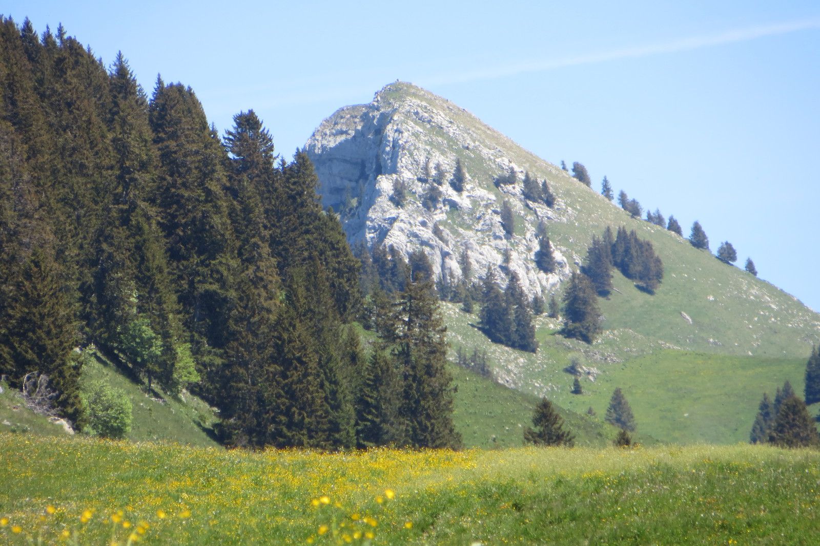
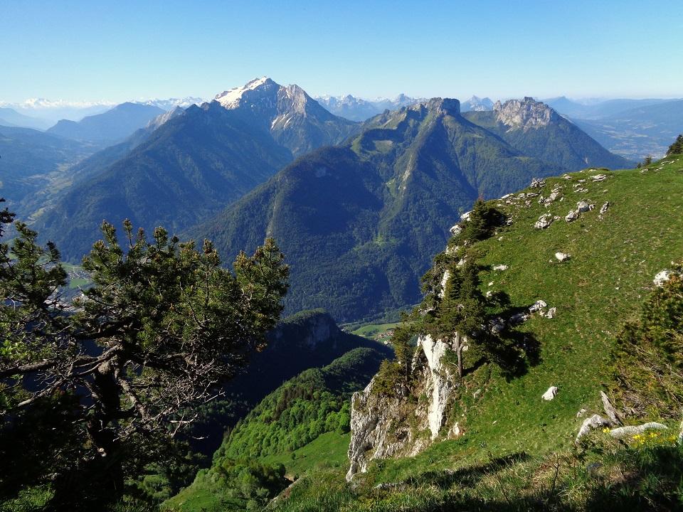
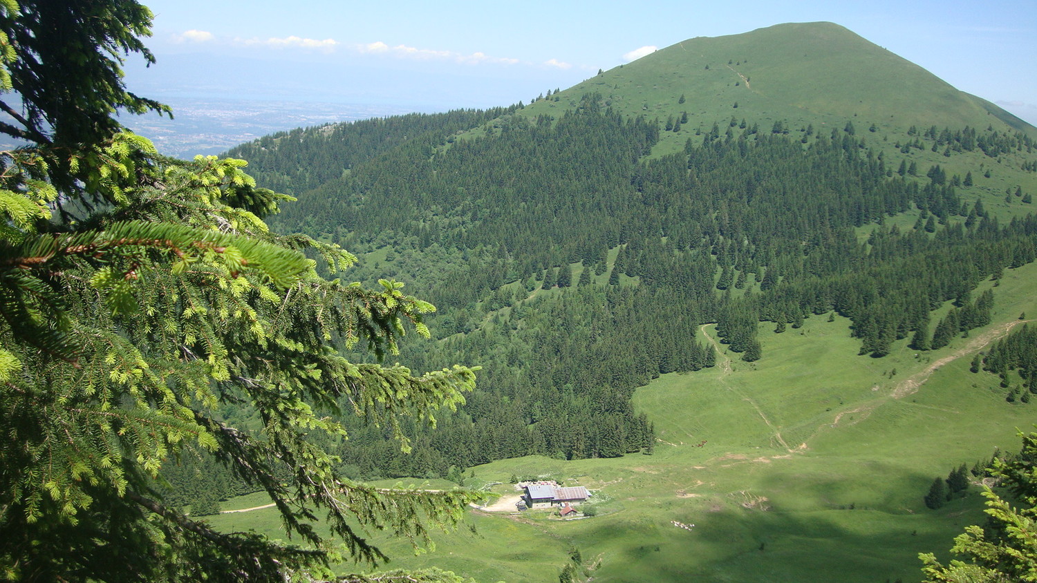
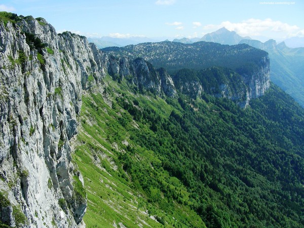
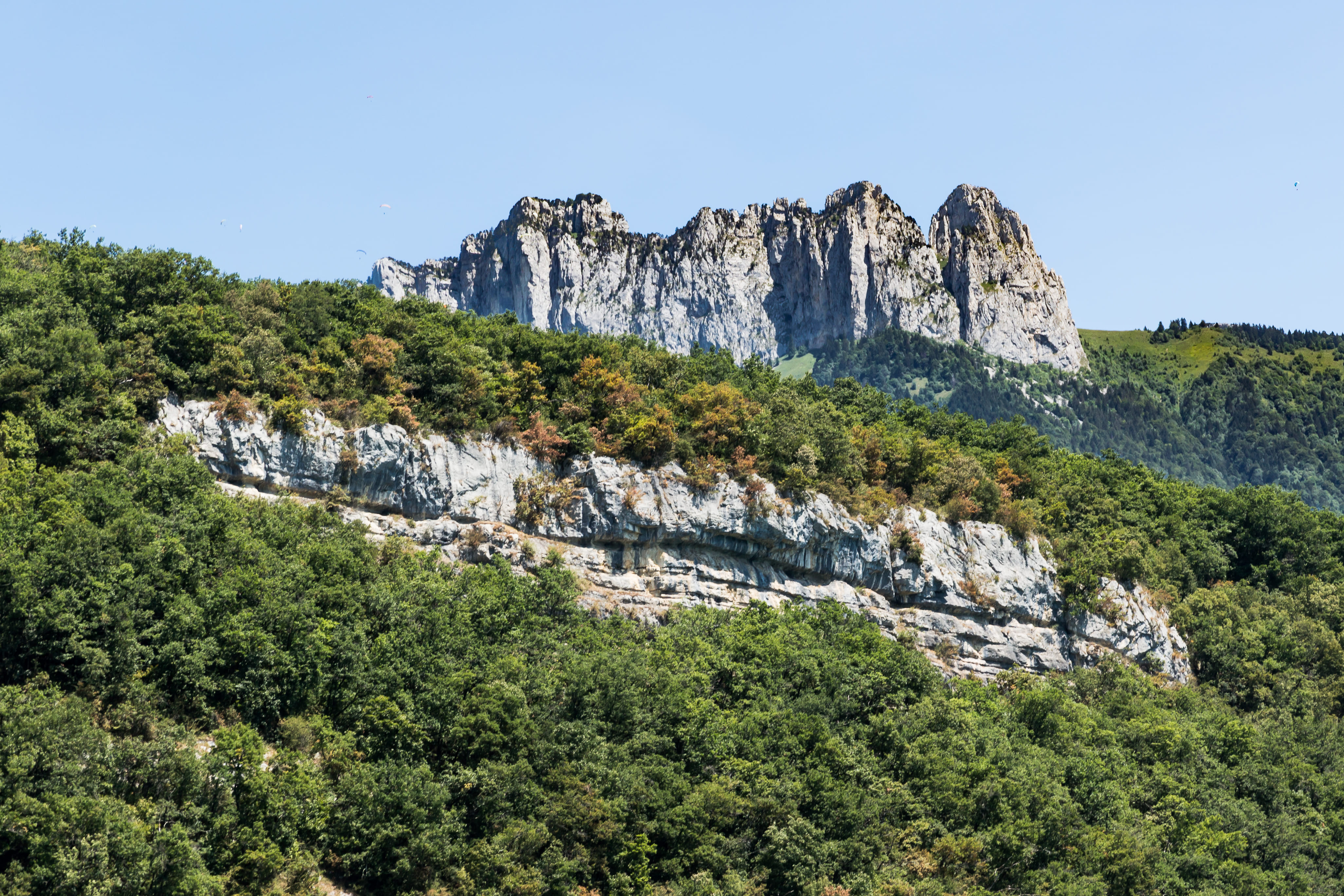
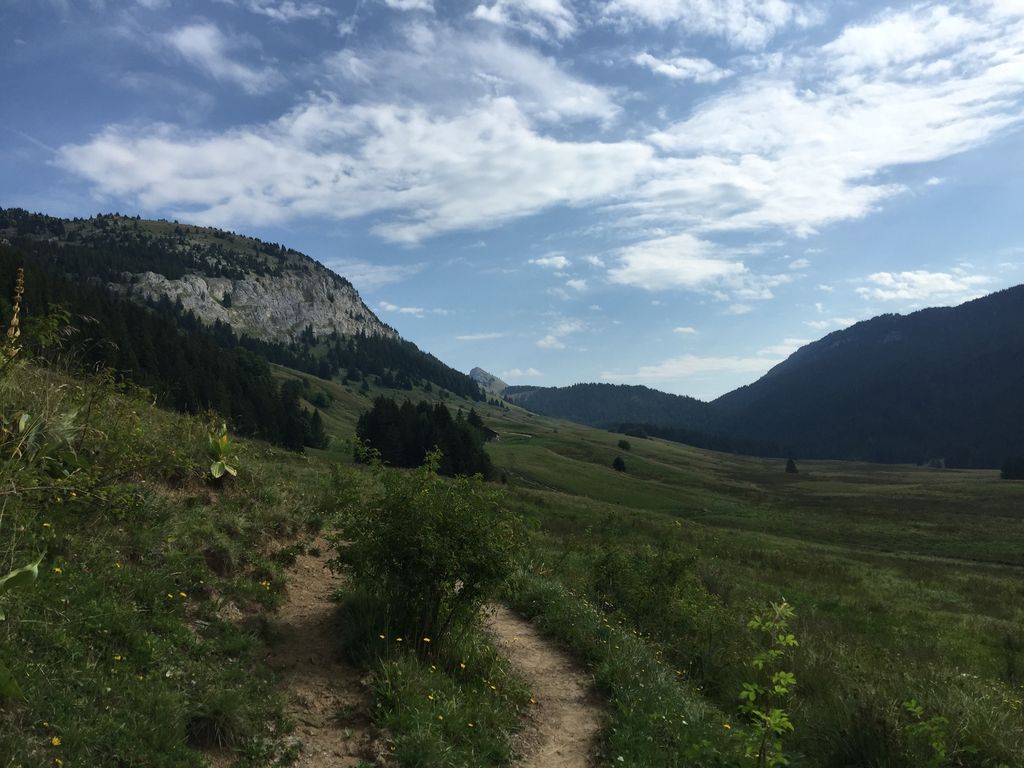
Pleasant hike with a first shaded part. Short break at the Pas du Roc belvedere before setting off again for the Crêt de l'Ébat culminating at more than 1,700m. Be careful: the last part before reaching the summit is not recommended for people sensitive to vertigo.

Already more than 200,000 users!
Uphill
851m
Highest point
1714m
Downhill
851m
Lowest point
937m
Route type
There and back
Download the map on your smartphone to save battery and rest assured to always keep access to the route, even without signal.
Includes IGN France and Swisstopo.
I indicate whether dogs are allowed or prohibited on this trail
From May to October
0 ratings
Also enjoy:

Already more than 200,000 users!