Uphill
1054m
Length
13km
Duration
7h
Elev gain
1054m
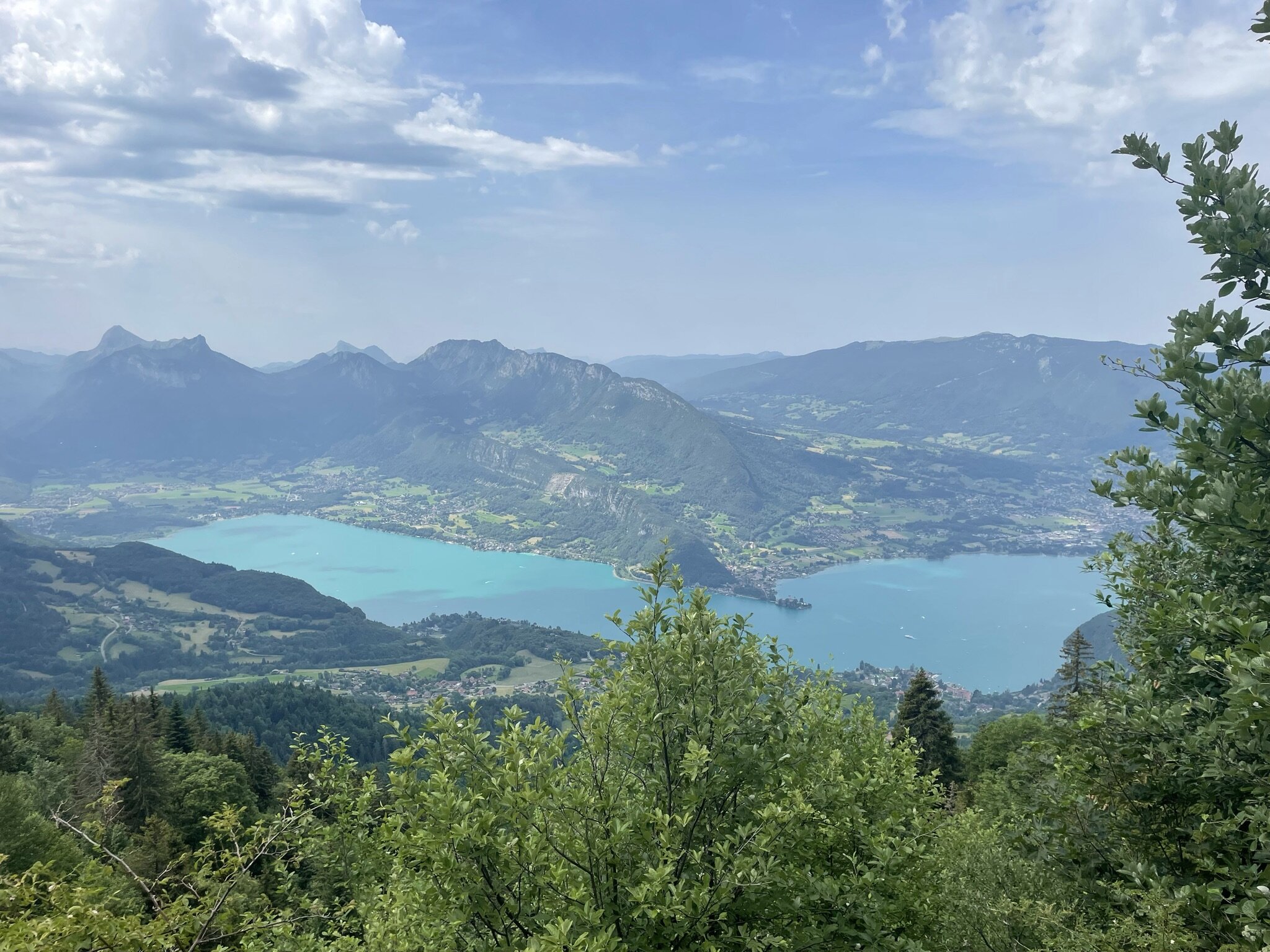
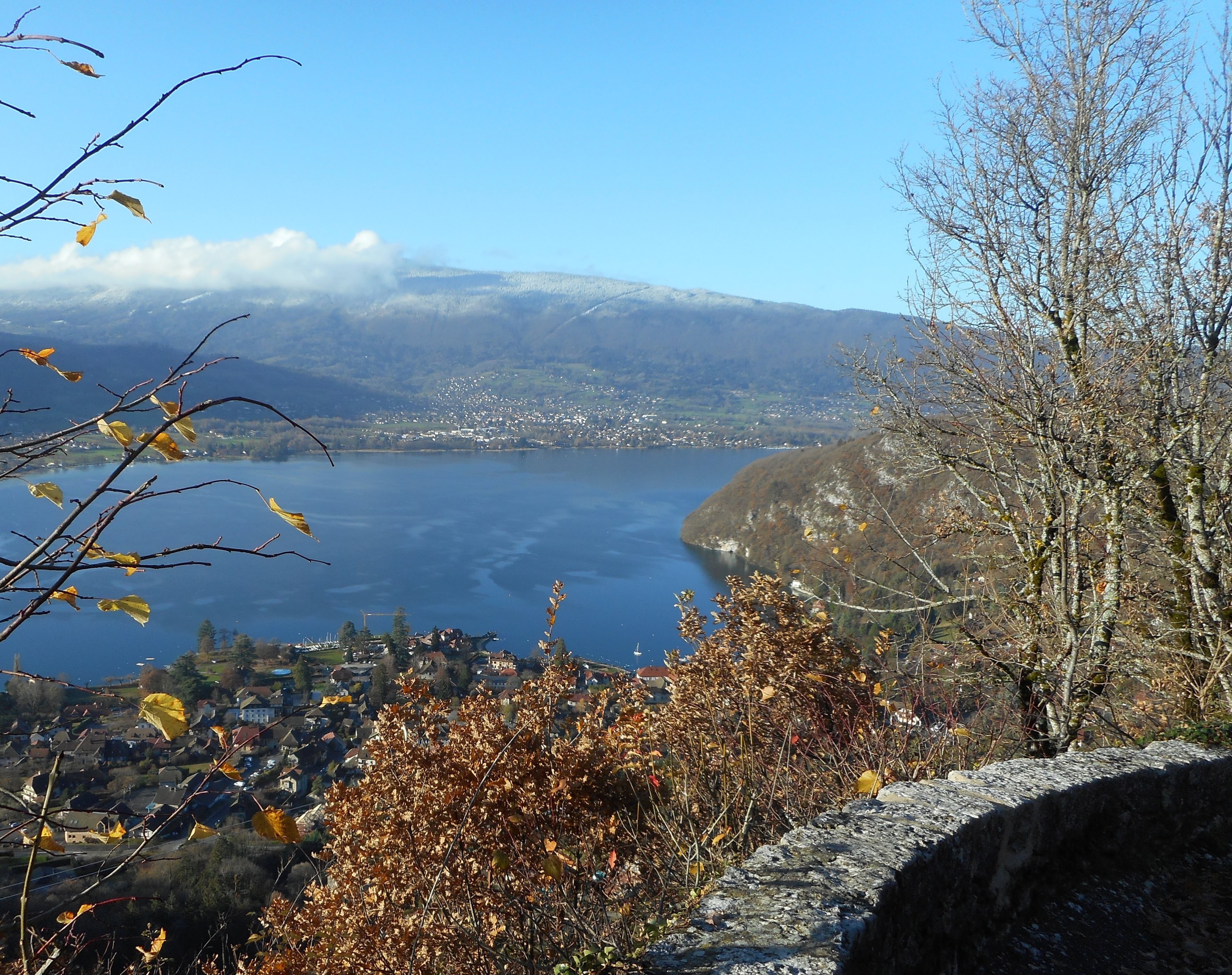
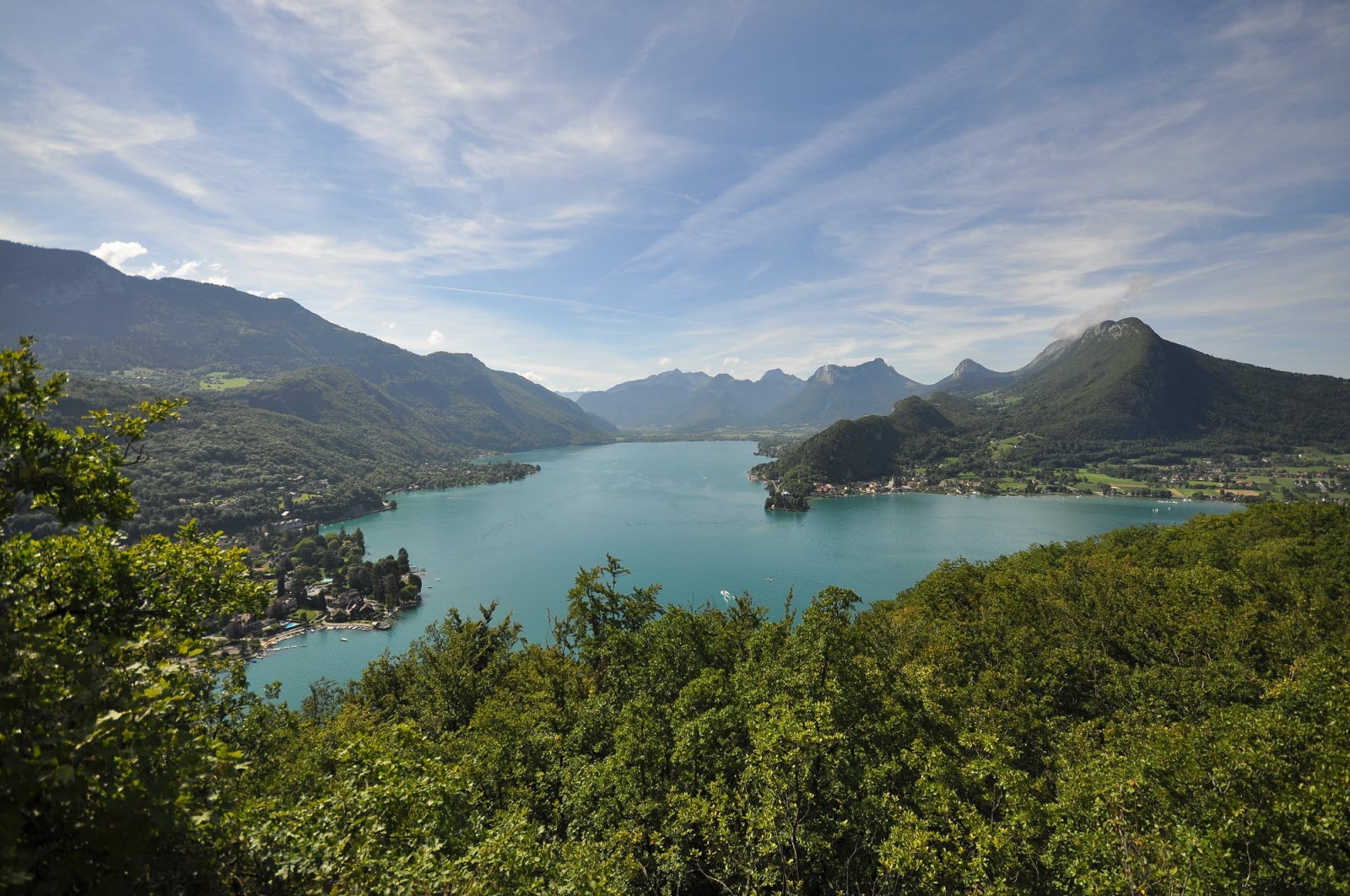
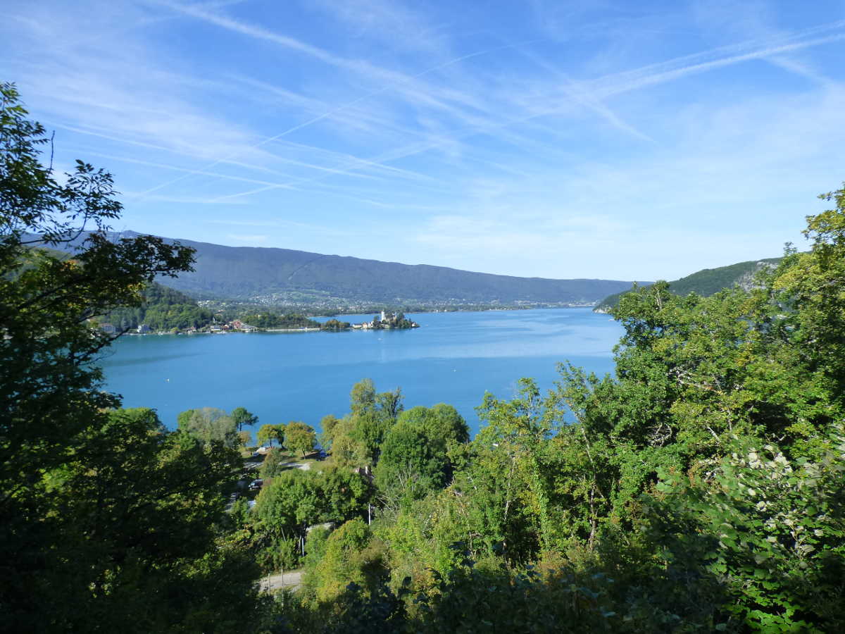
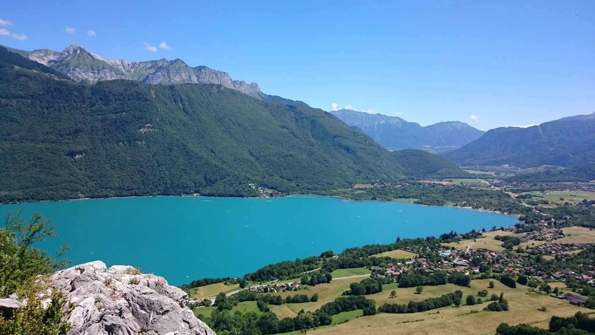
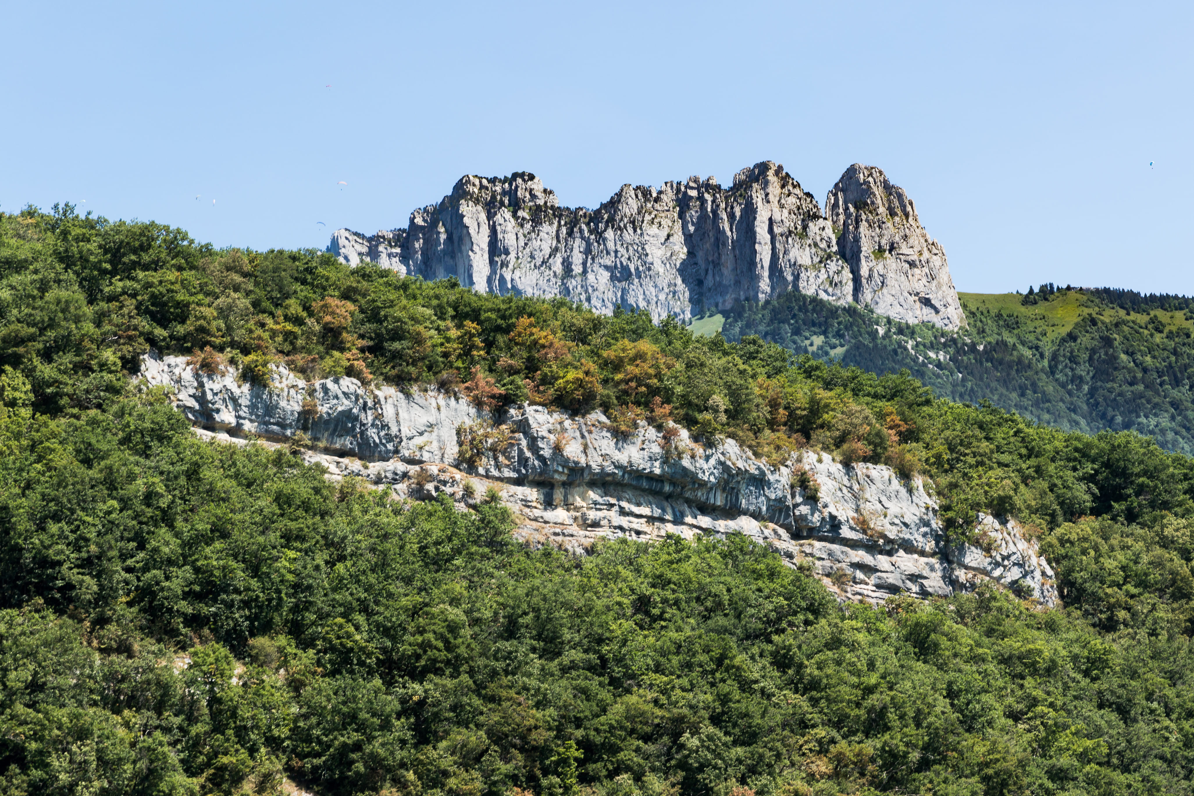
Hike near Menthon-Saint-Bernard around the Dents de Lanfon. The path passes by the Aulp-Rian chalets then by the Col des Frêtes. The view of Lake Annecy is magnificent.
Note that this hike is technically demanding.

Already more than 200,000 users!
Uphill
1054m
Highest point
1640m
Downhill
1054m
Lowest point
677m
Route type
Loop
Download the map on your smartphone to save battery and rest assured to always keep access to the route, even without signal.
Includes IGN France and Swisstopo.
I indicate whether dogs are allowed or prohibited on this trail
From May to October
0 ratings
Also enjoy:

Already more than 200,000 users!