Uphill
343m
Length
7km
Duration
3h30min
Elev gain
343m
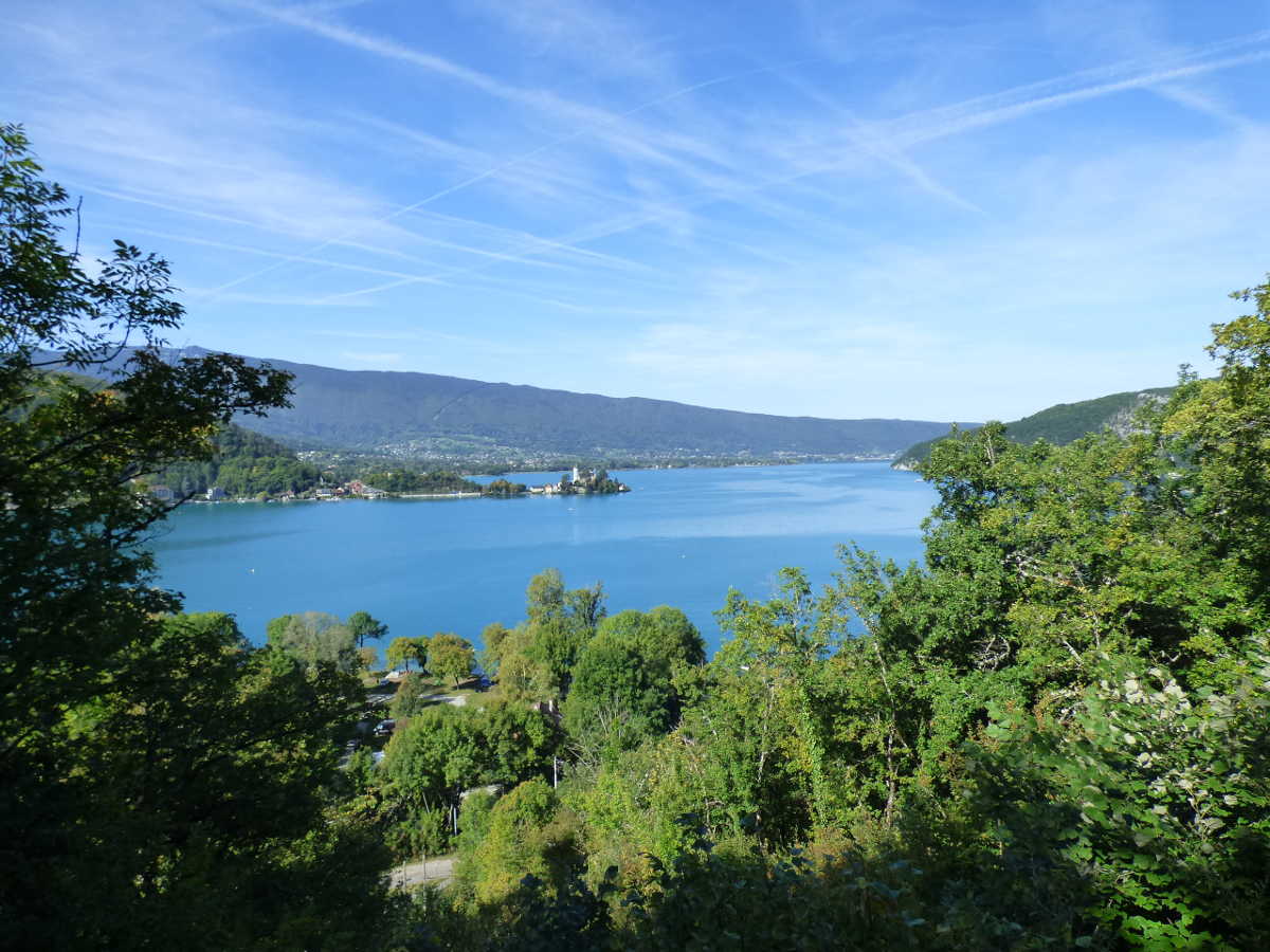
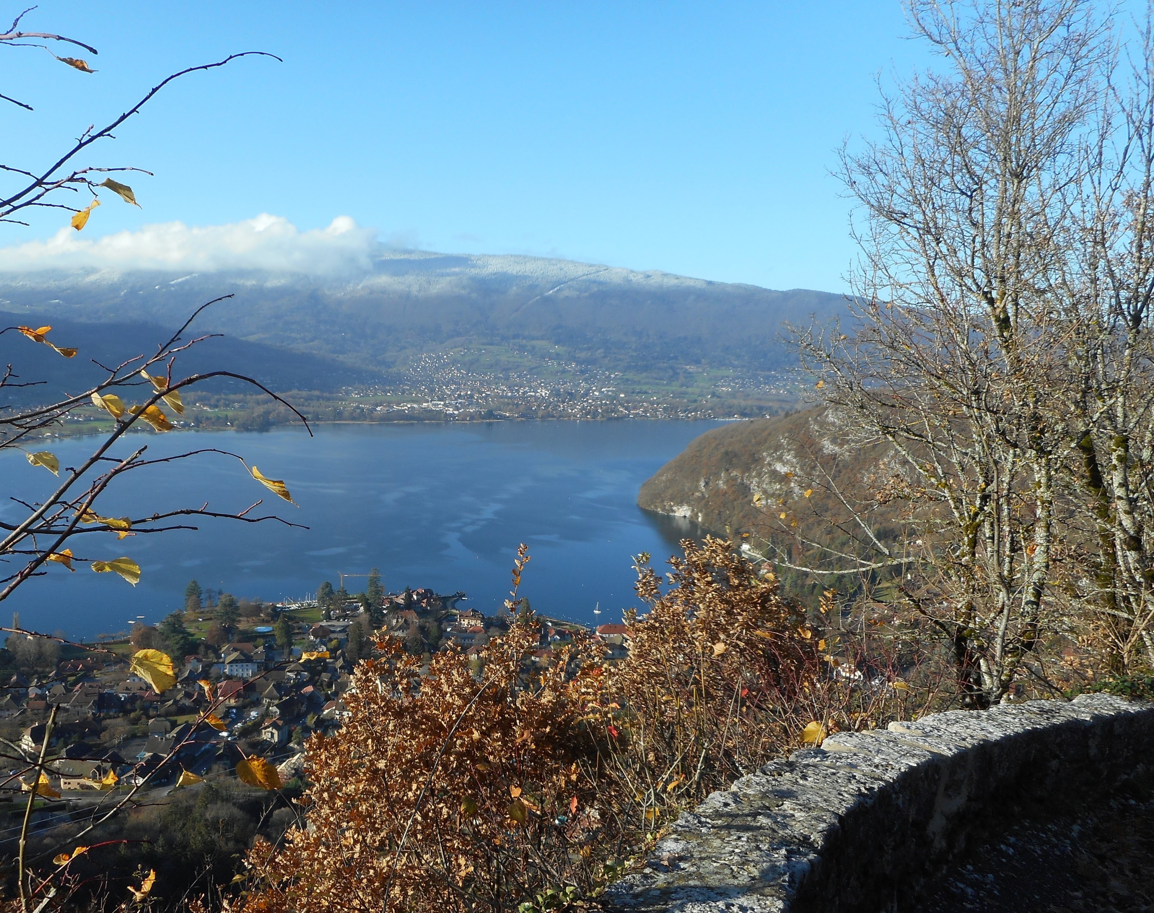
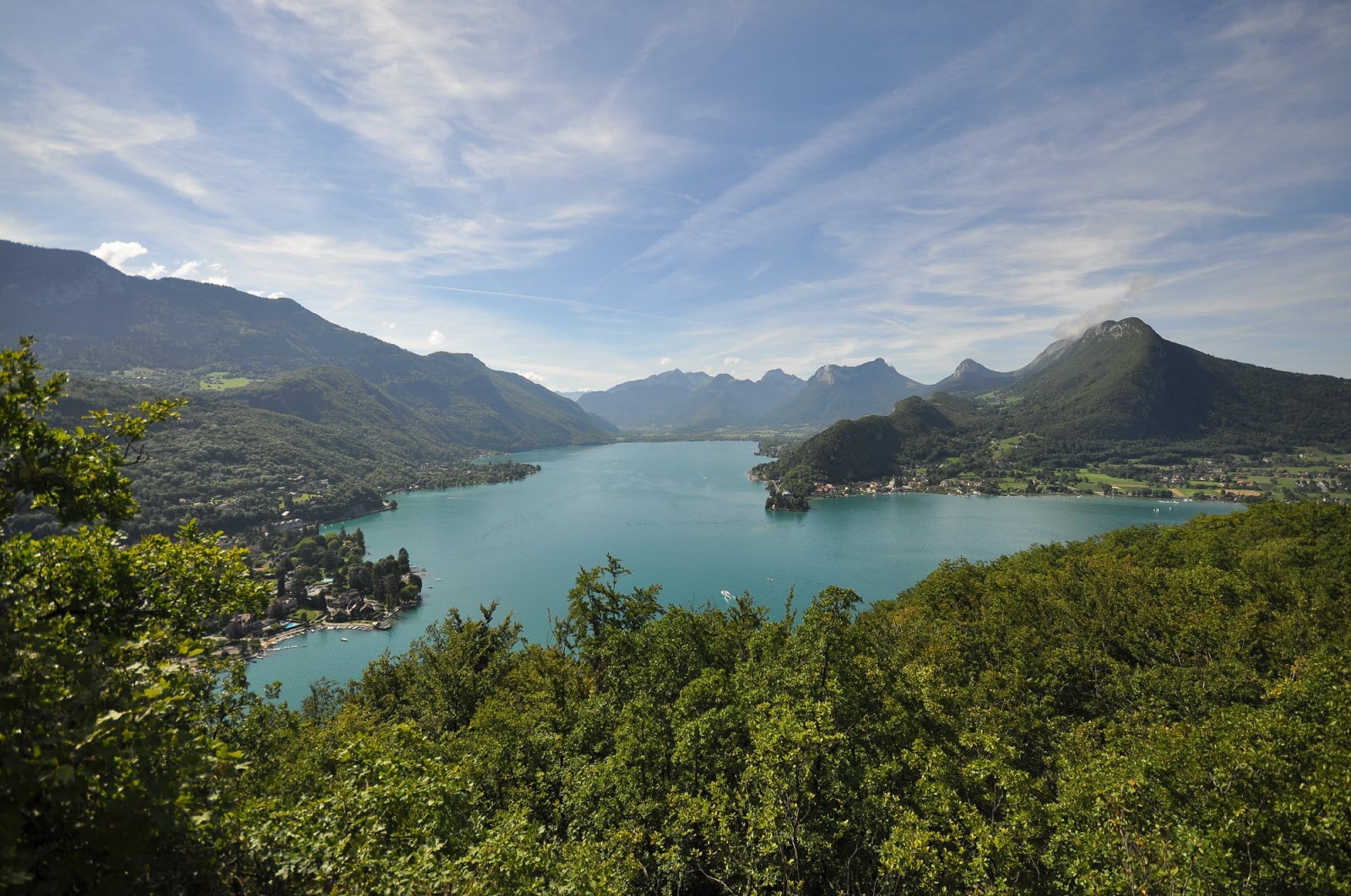
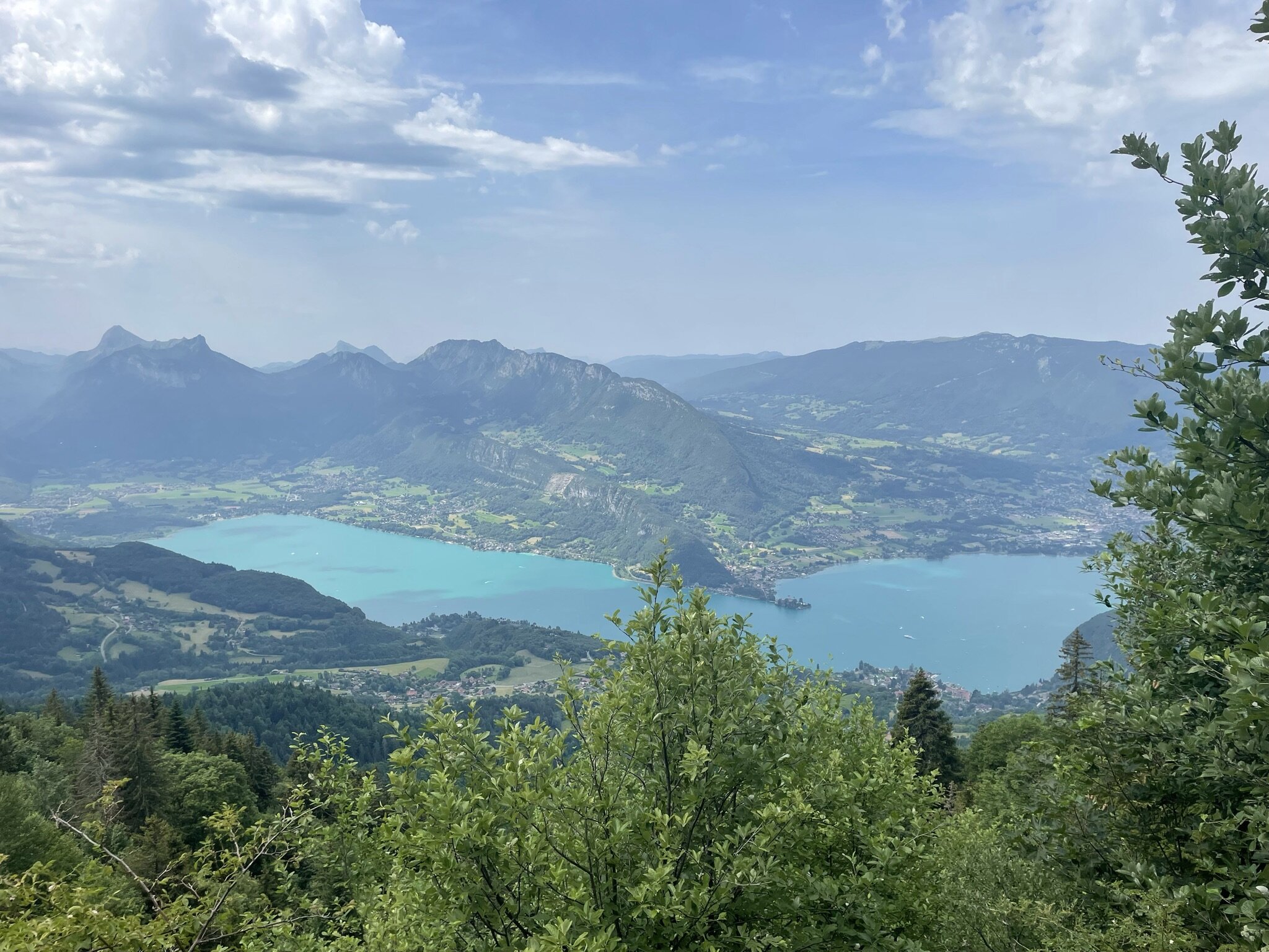
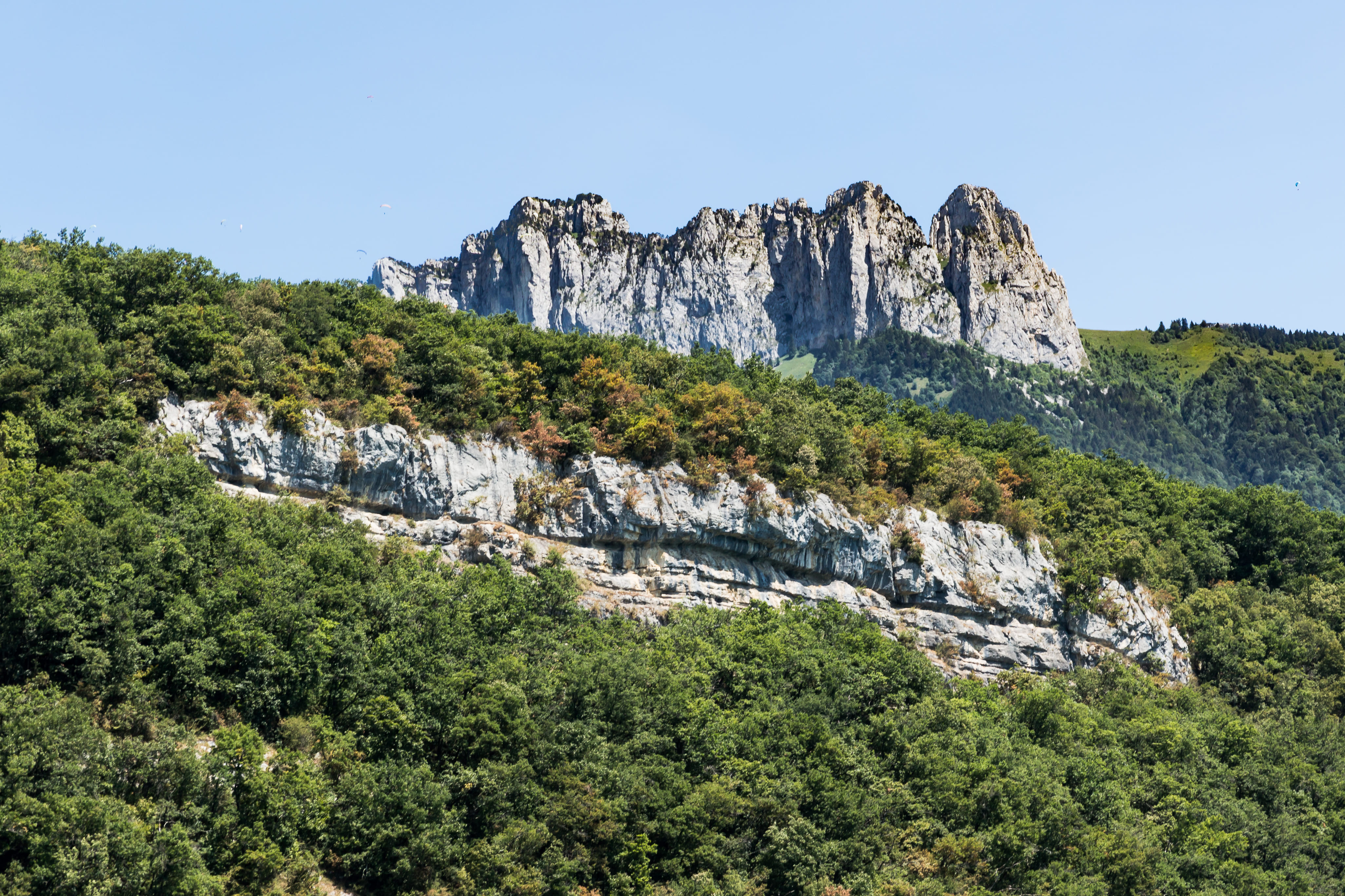
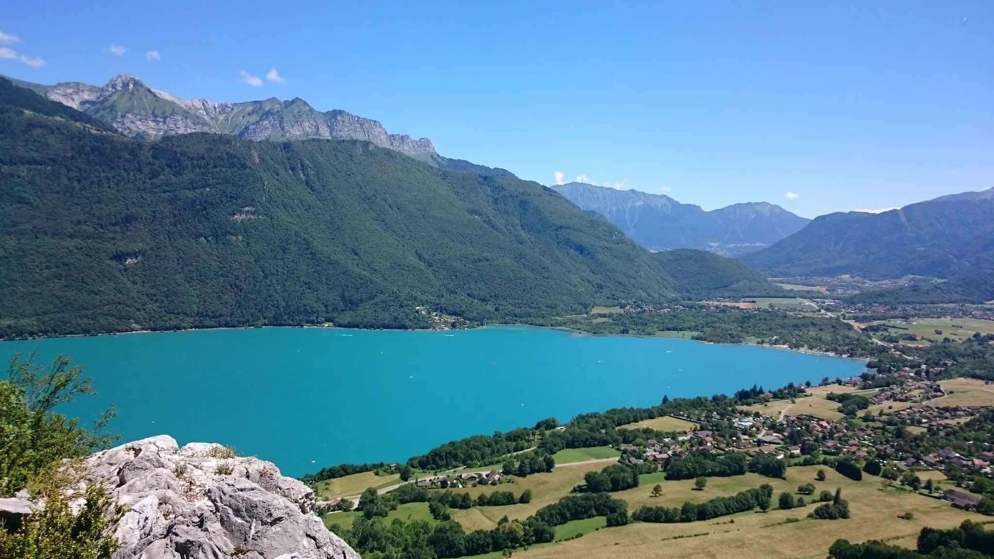
Walk on the heights of Lake Annecy via a forest path that starts out quite sturdy. Very beautiful points of view.

Already more than 200,000 users!
Uphill
343m
Highest point
757m
Downhill
343m
Lowest point
447m
Route type
Loop
Download the map on your smartphone to save battery and rest assured to always keep access to the route, even without signal.
Includes IGN France and Swisstopo.
I indicate whether dogs are allowed or prohibited on this trail
All year
6 ratings
Après avoir effectué le parcours, qui, au départ, m’avait plutôt bien emballé, à mes dépourvu, ce fut à ma grande stupéfaction, l’une des randonnées que je classifierais comme étant “difficile”. En effet, les nombreux chemins semés de pierres glissantes ainsi que les hautes roches -j’ai été obligé de les escalader à l’aide de mes mains!- m’ont très vite découragées. J’ai quand même fini le parcours. C’était sympa. En vrai. Mais compliqué. Voilà.
Also enjoy:

Already more than 200,000 users!