Uphill
243m
Length
7km
Duration
2h30min
Elev gain
243m
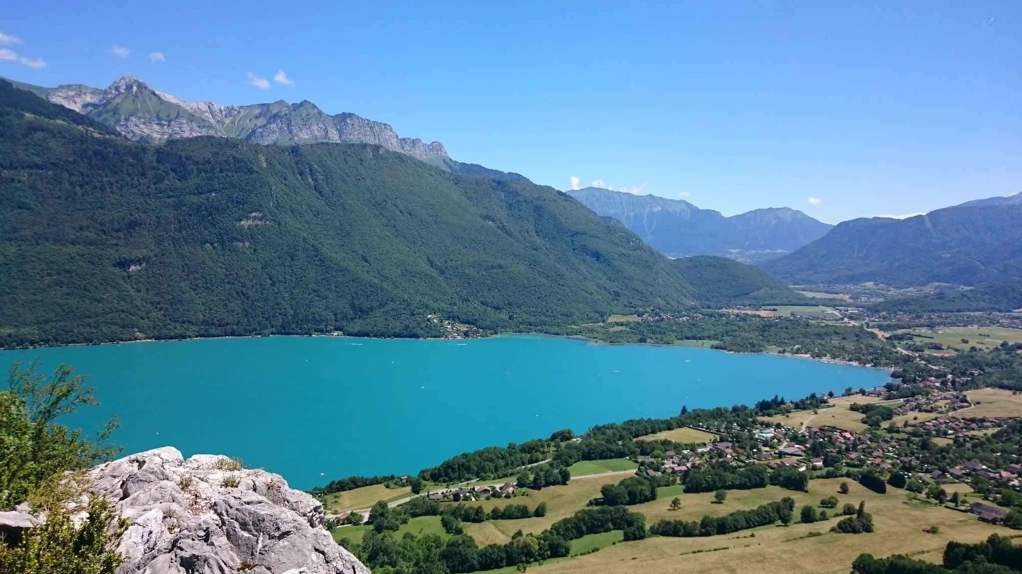
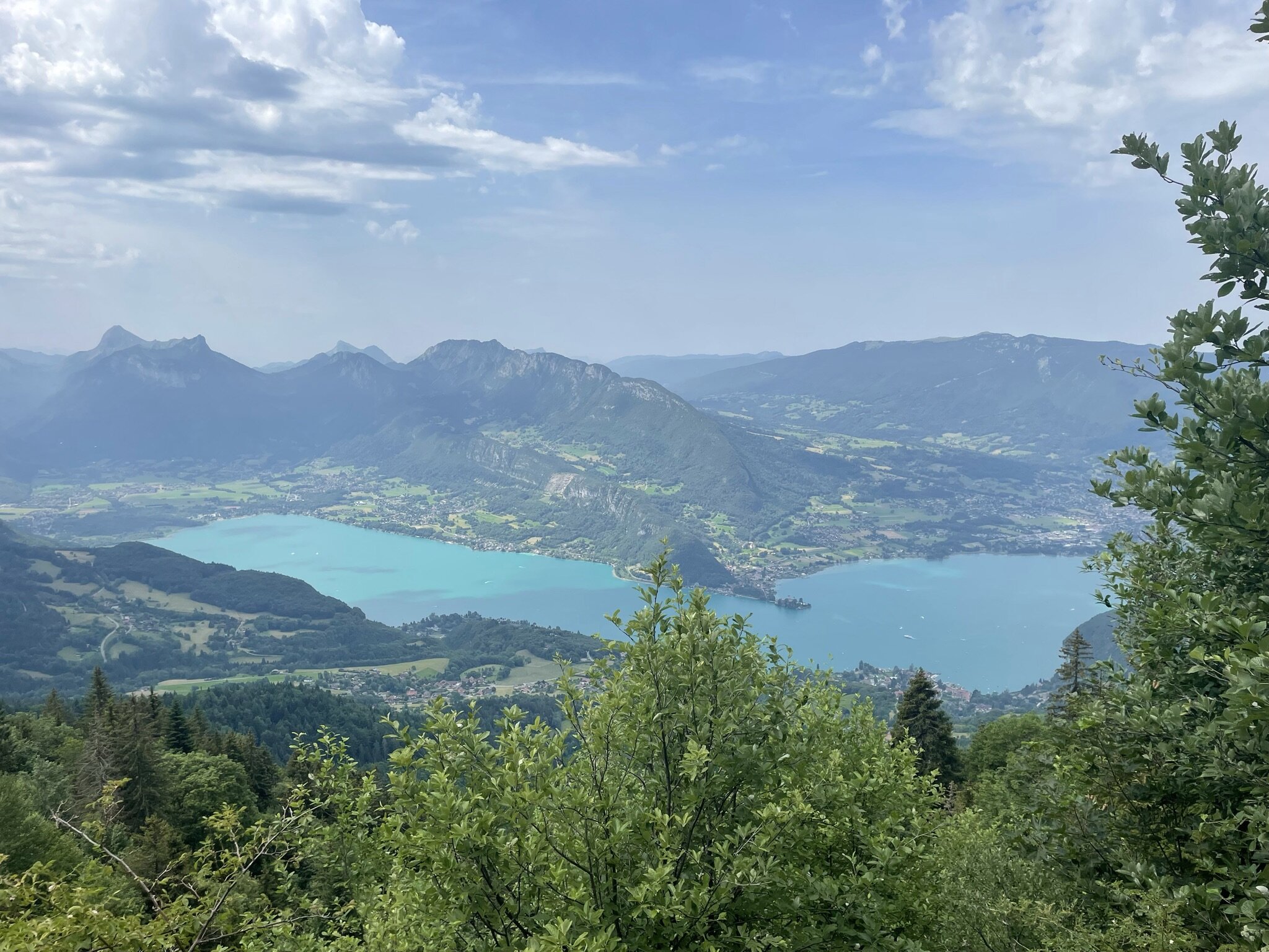
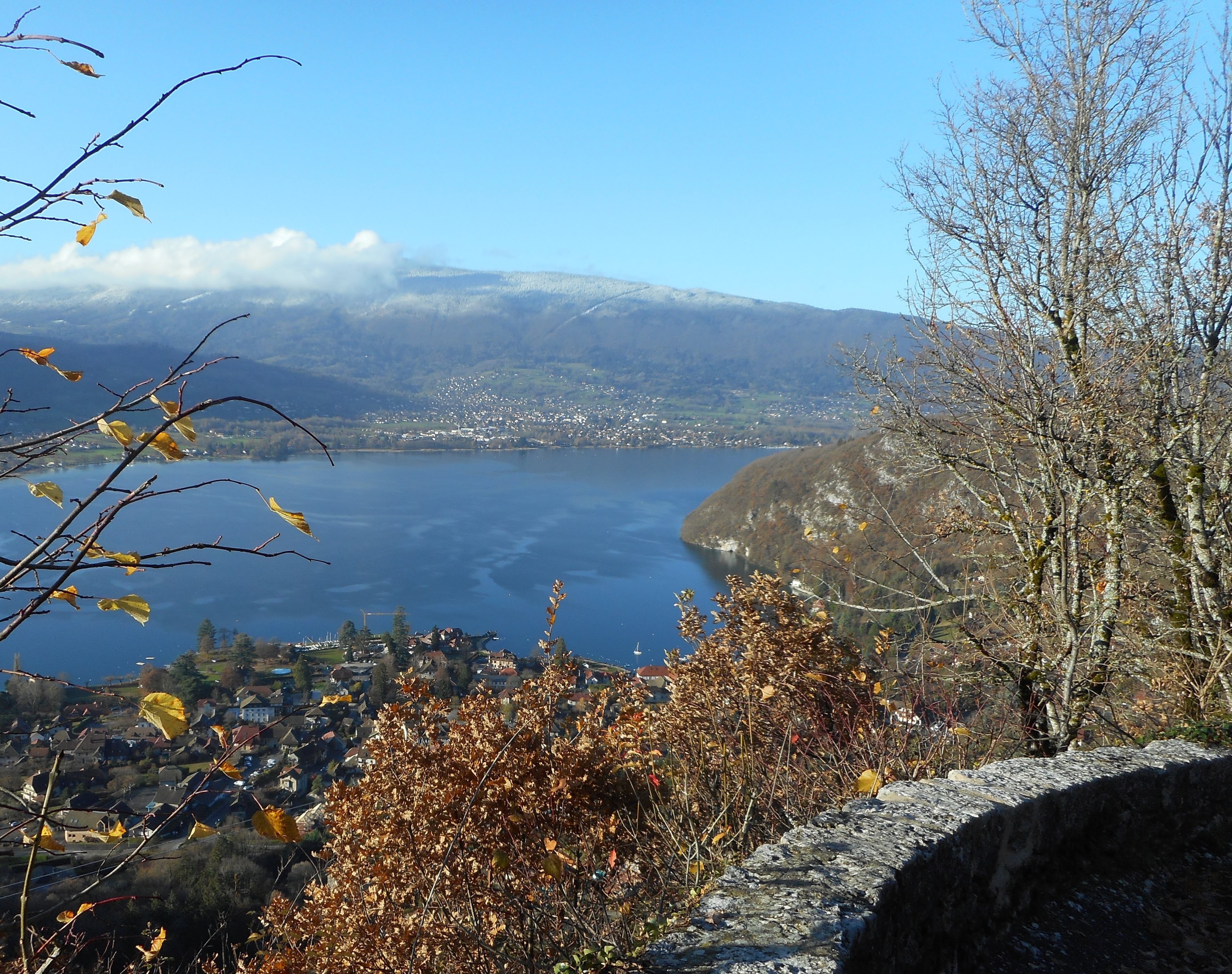
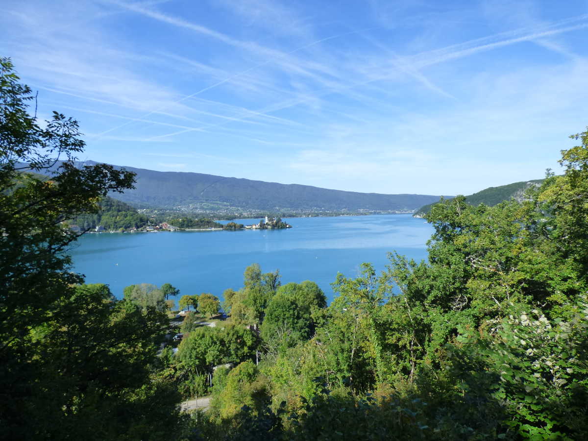
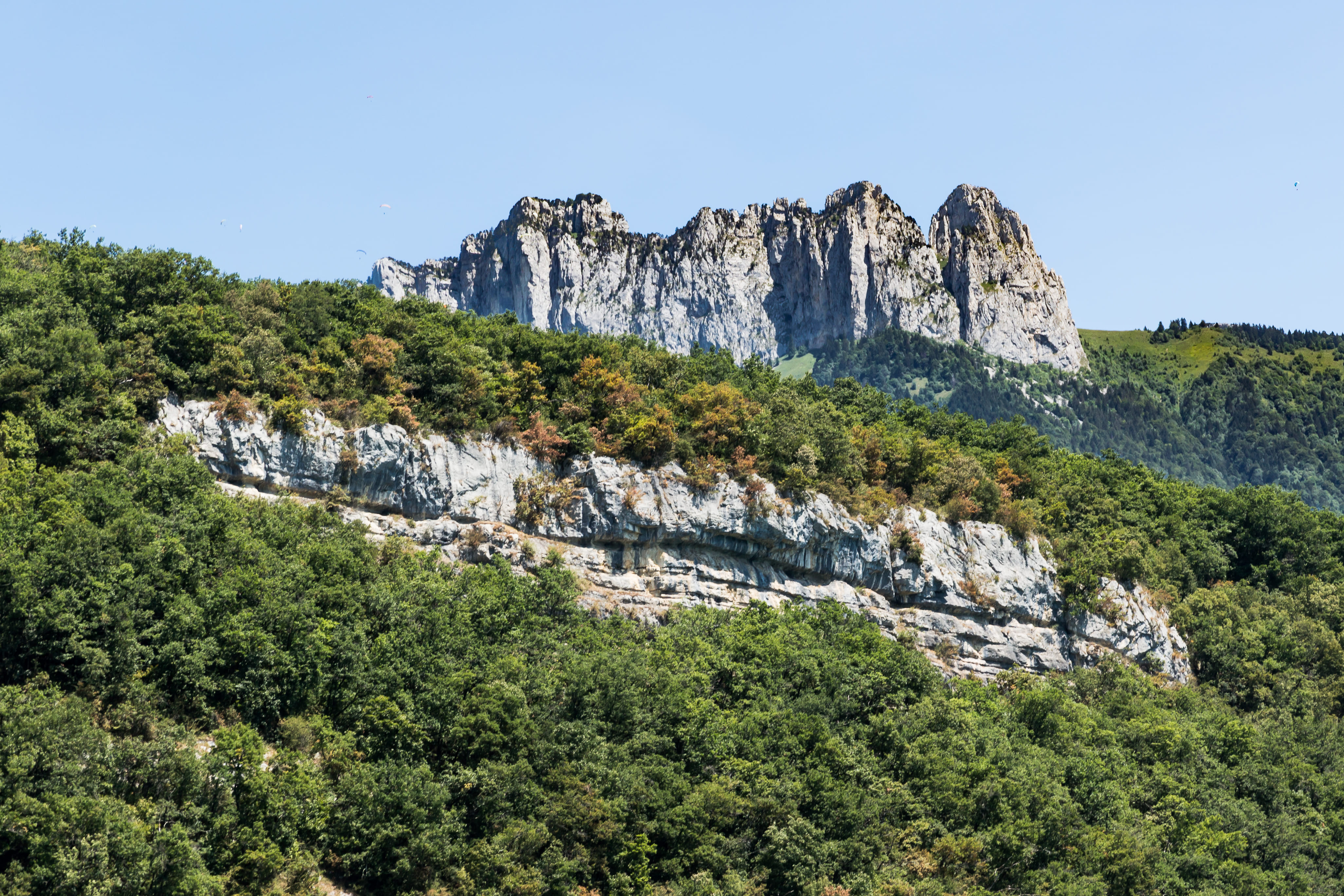
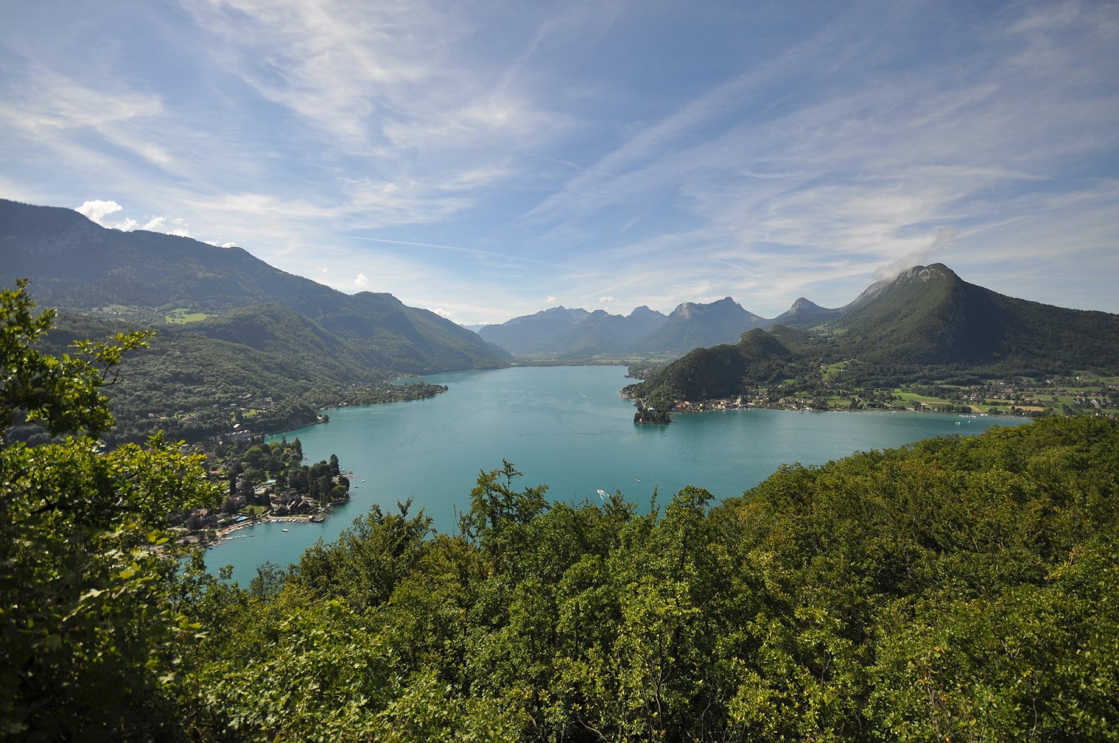
Walk in the forest within the Roc de Chère nature reserve, a rocky outcrop which offers a beautiful panorama of Lake Annecy.

Already more than 200,000 users!
Uphill
243m
Highest point
643m
Downhill
243m
Lowest point
459m
Route type
Loop
Download the map on your smartphone to save battery and rest assured to always keep access to the route, even without signal.
Includes IGN France and Swisstopo.
I indicate whether dogs are allowed or prohibited on this trail
All year
3 ratings
Très belle journée
Also enjoy:

Already more than 200,000 users!