Uphill
680m
Length
5km
Duration
4h
Elev gain
680m
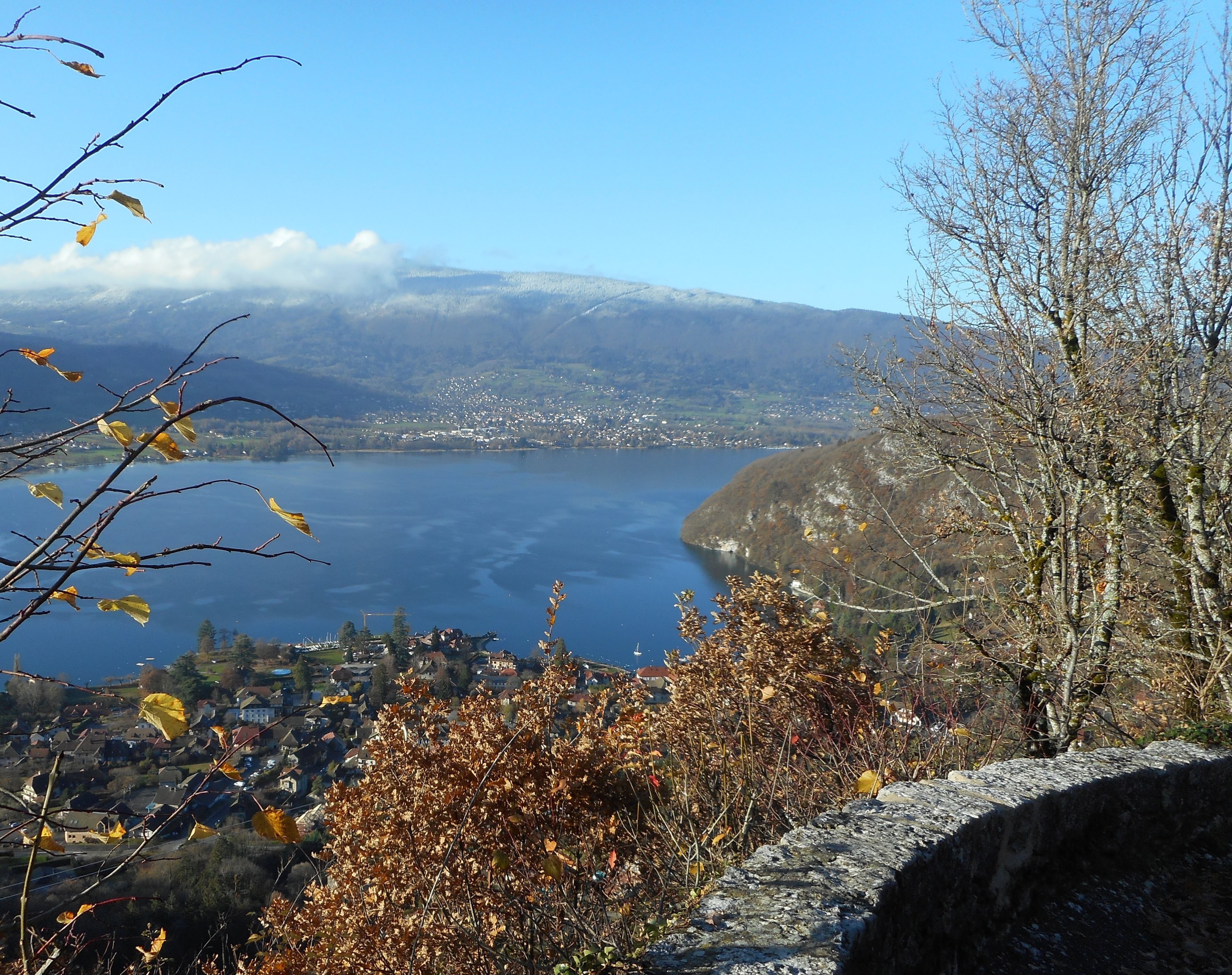
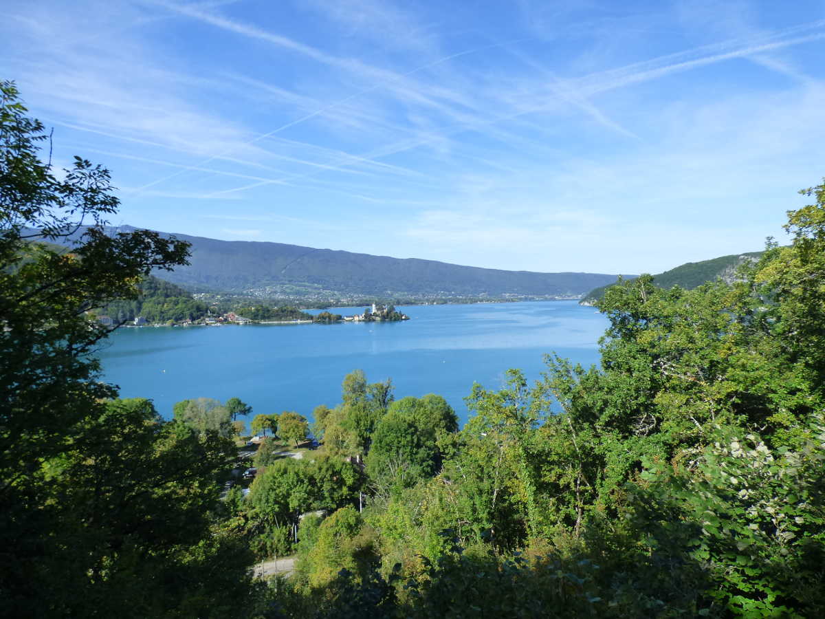
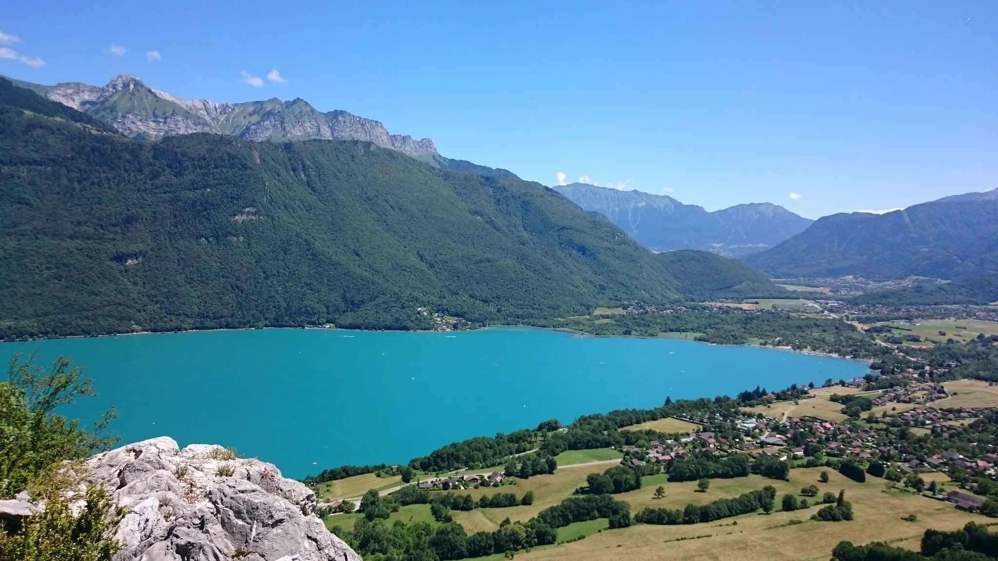
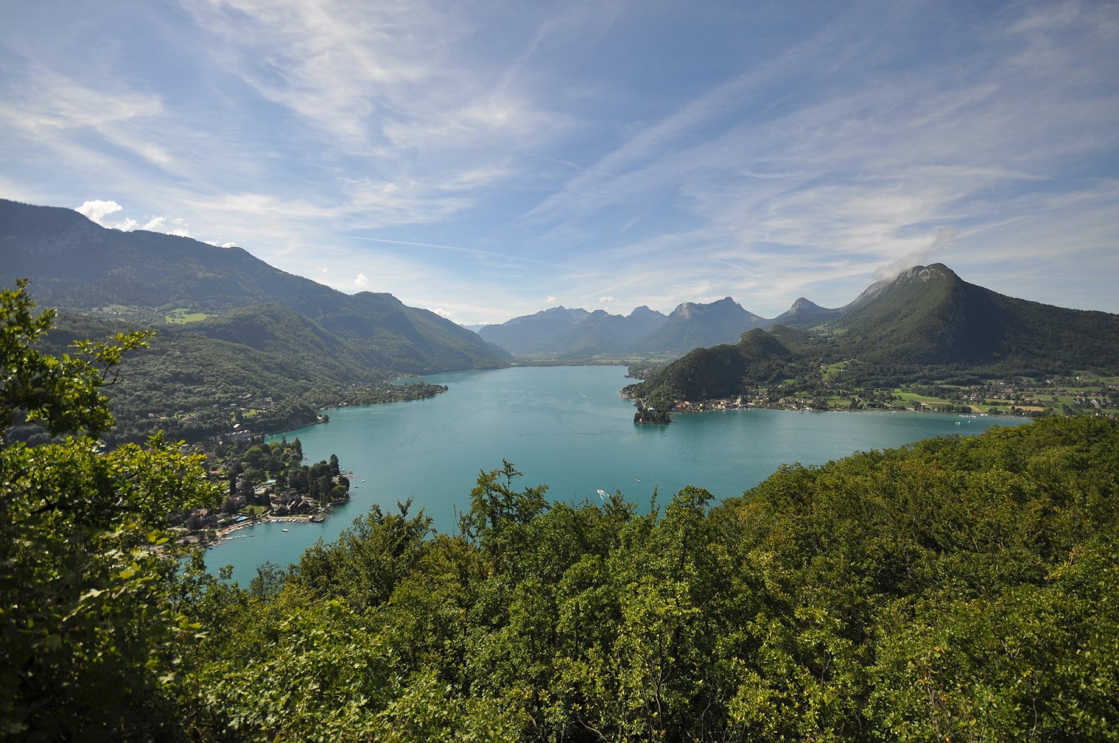
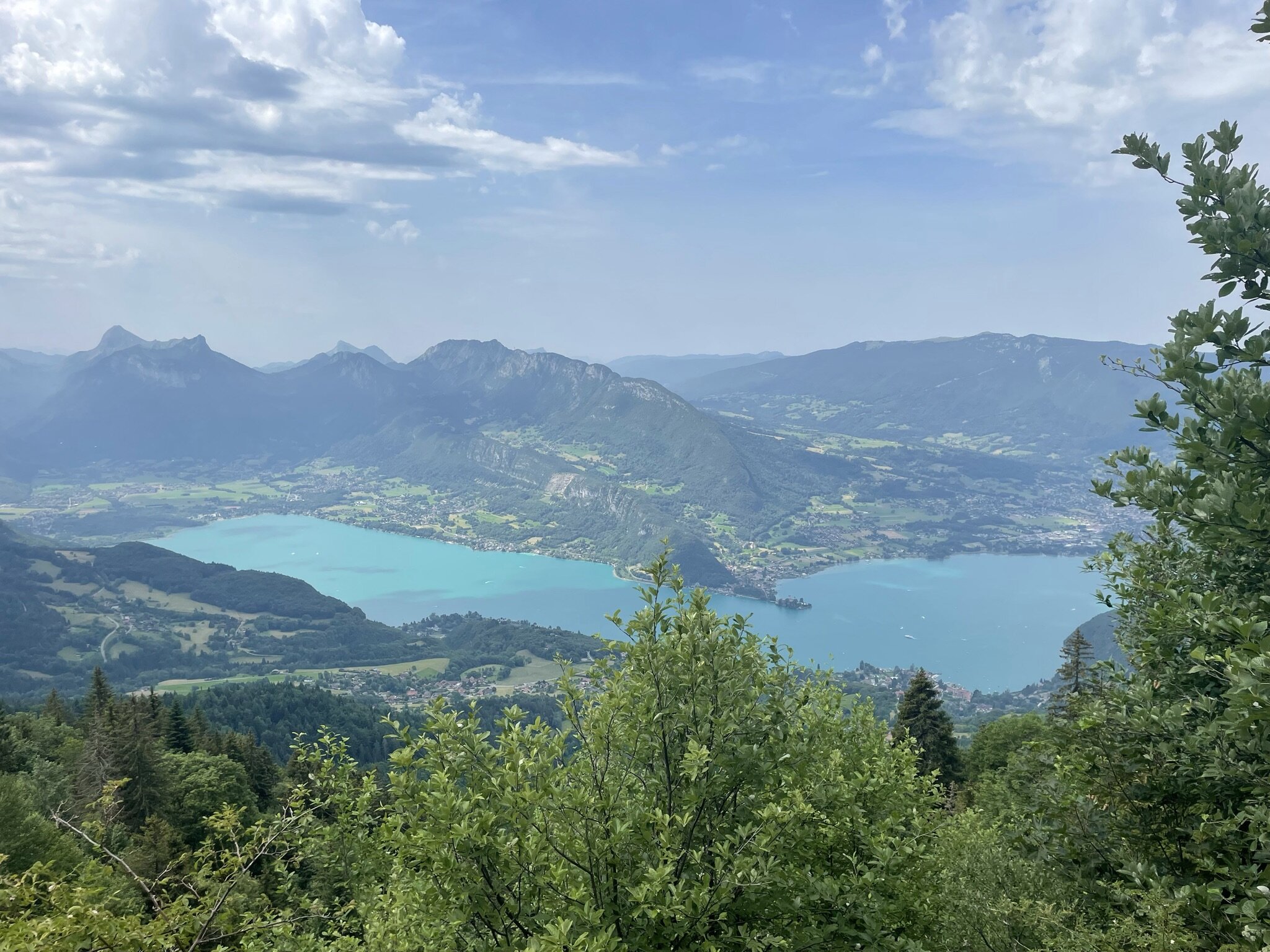
Here is a short but steep path, which leads to the Col des Frêtes for a magnificent panorama of Lake Annecy.

Already more than 200,000 users!
Uphill
680m
Highest point
1640m
Downhill
680m
Lowest point
952m
Route type
There and back
Download the map on your smartphone to save battery and rest assured to always keep access to the route, even without signal.
Includes IGN France and Swisstopo.
I indicate whether dogs are allowed or prohibited on this trail
From May to October
1 rating
Also enjoy:

Already more than 200,000 users!