Uphill
682m
France > Auvergne-Rhône-Alpes > Haute-Savoie
Length
12km
Duration
5h30min
Elev gain
682m
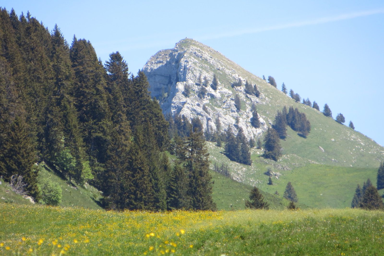
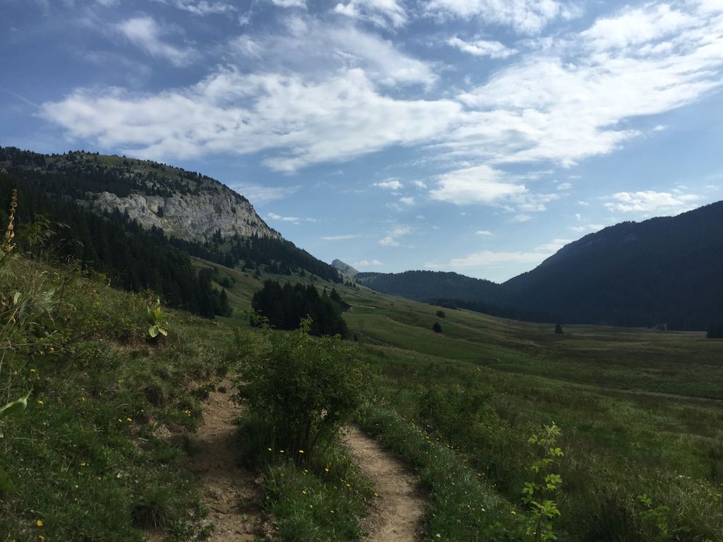
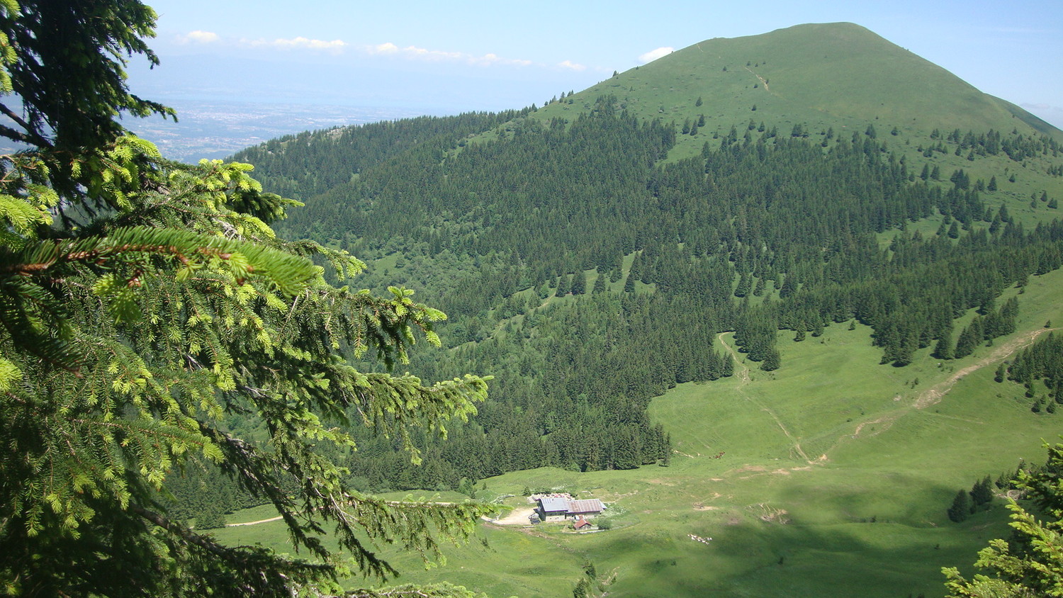
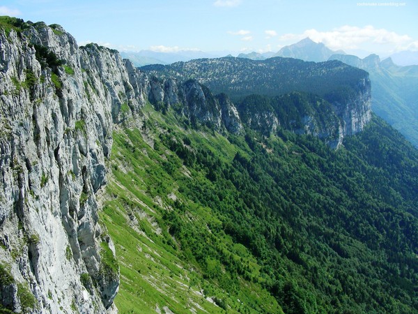
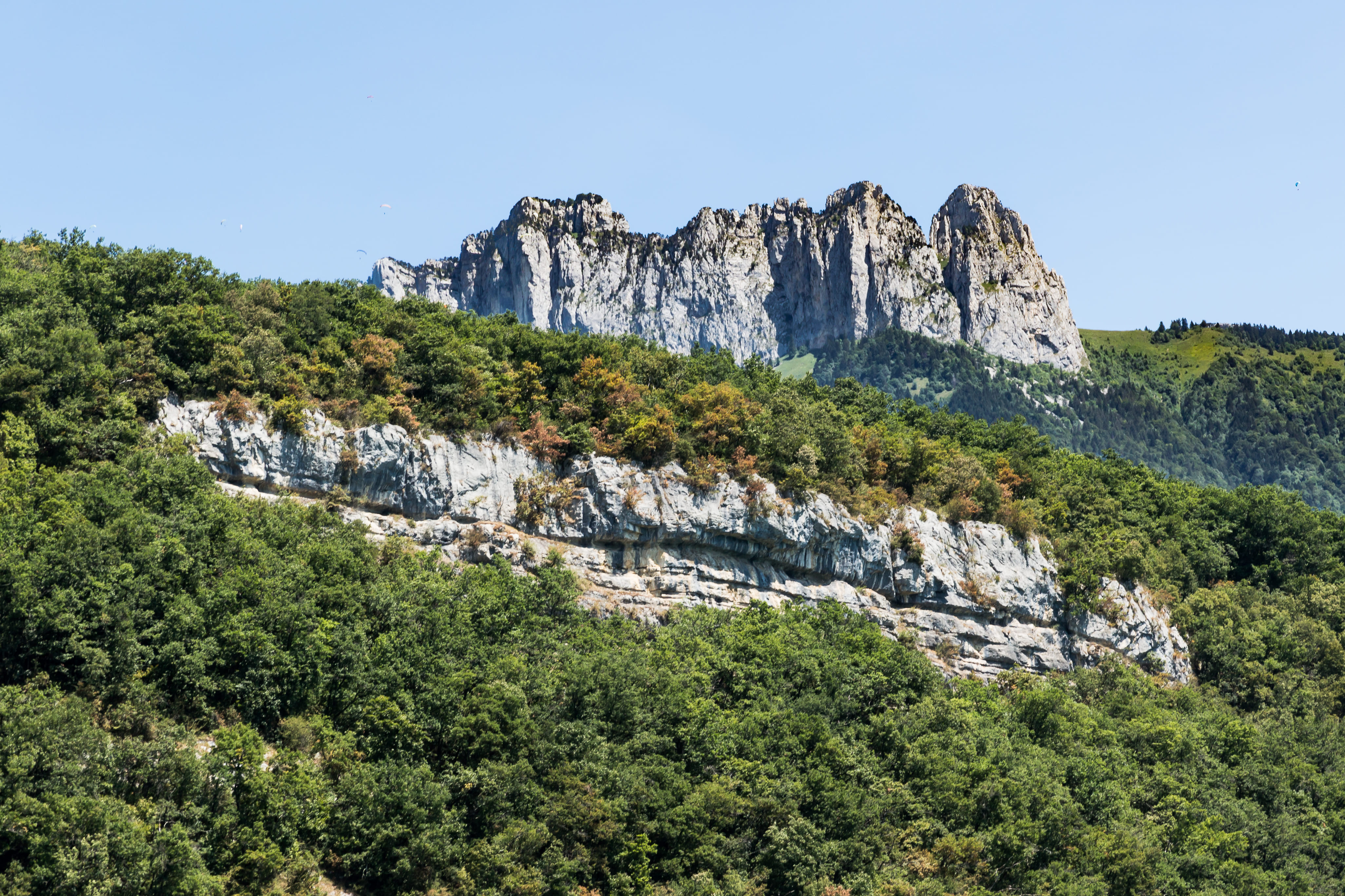
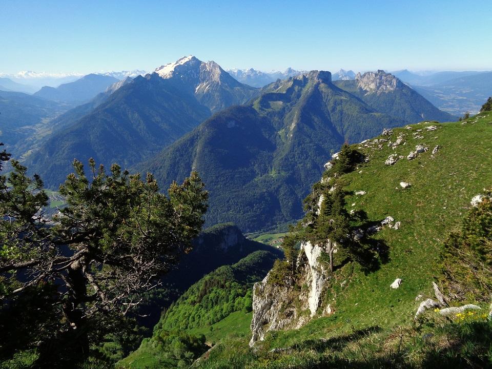
This loop allows you to take a ridge line offering a 360 ° panorama, passing through the Tête Noire (1839 m), Tête Ronde (1864 m) and Tête de l'Arpettaz (1840 m) summits. Return via the valley of Ablon. Varied and wild landscapes all along.

Already more than 200,000 users!
Uphill
682m
Highest point
1841m
Downhill
682m
Lowest point
1282m
Route type
Loop
Download the map on your smartphone to save battery and rest assured to always keep access to the route, even without signal.
Includes IGN France and Swisstopo.
I indicate whether dogs are allowed or prohibited on this trail
From May to October
2 ratings
Also enjoy:

Already more than 200,000 users!