Uphill
447m
Length
5km
Duration
3h
Elev gain
447m
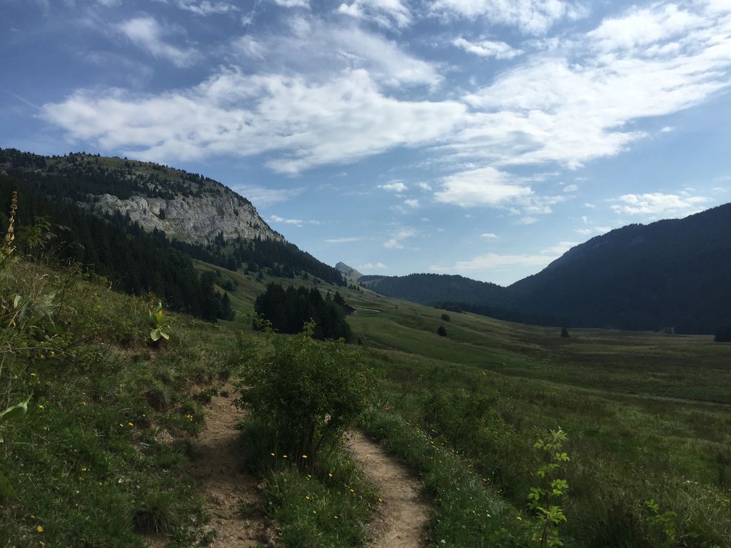
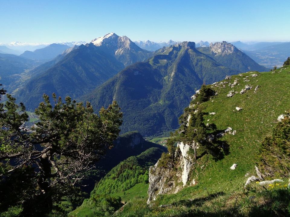
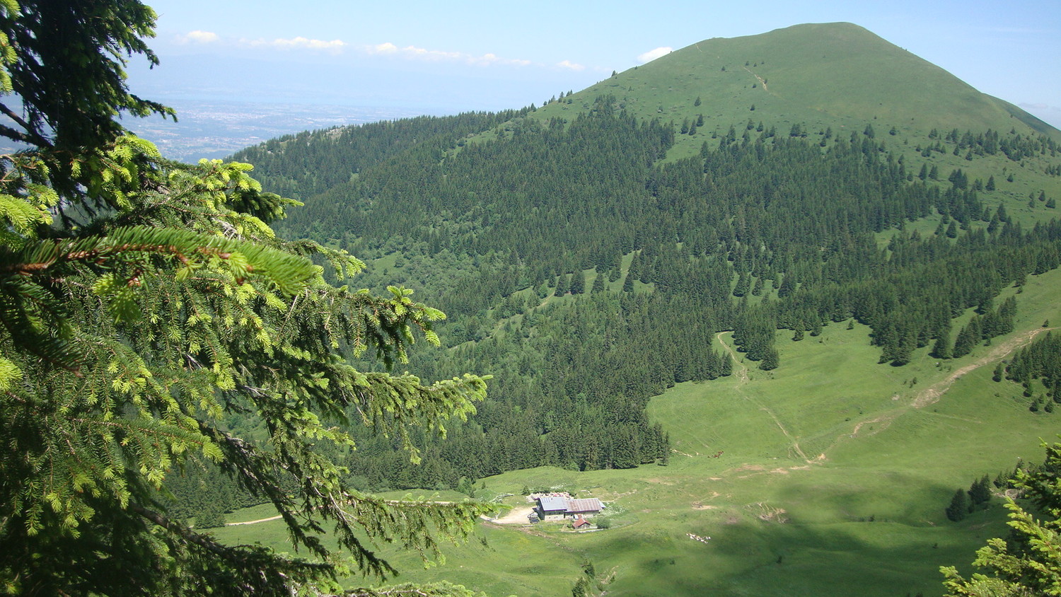
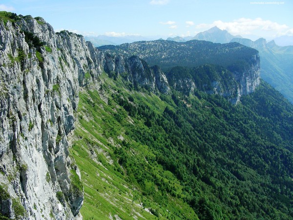
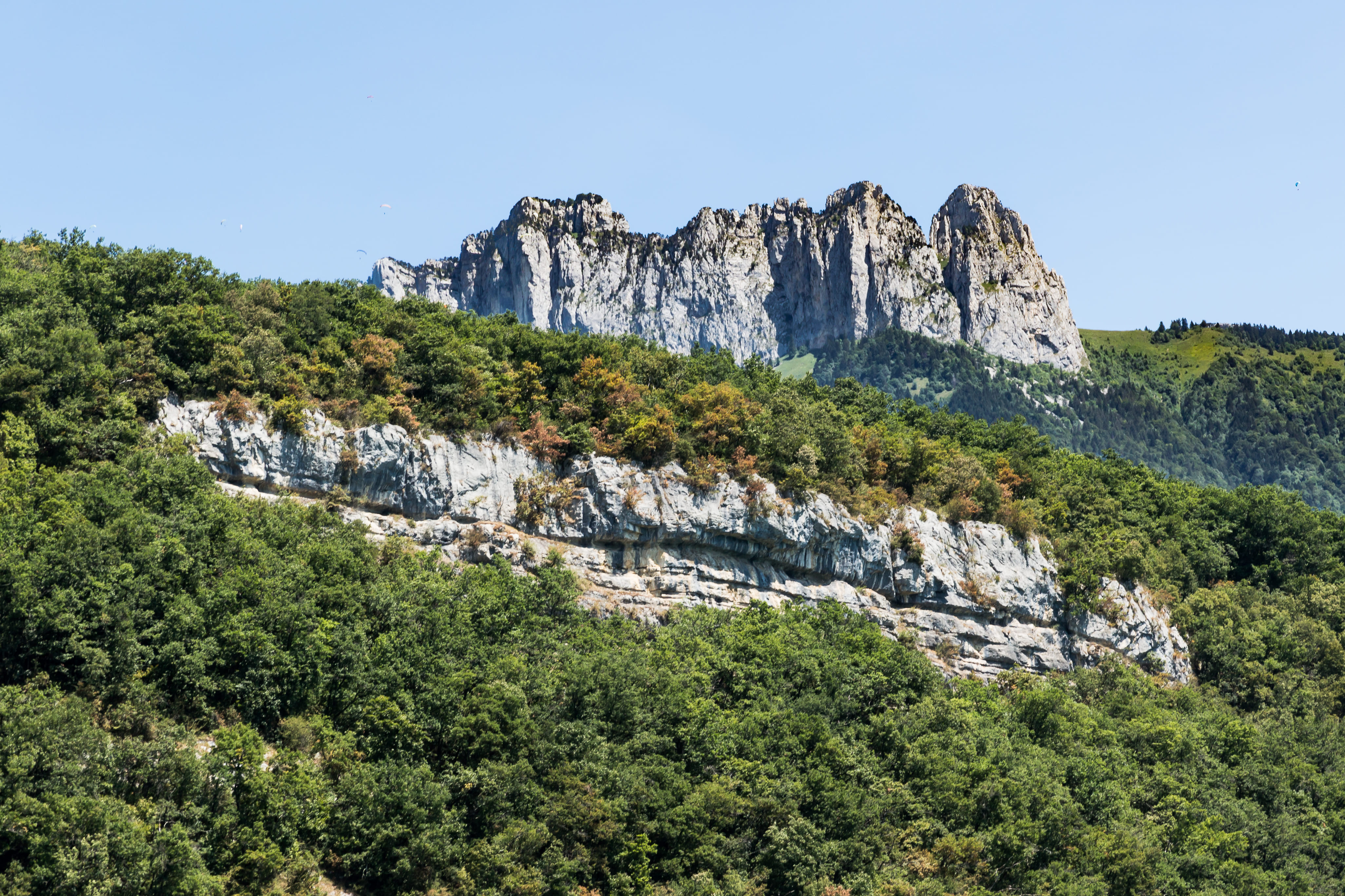
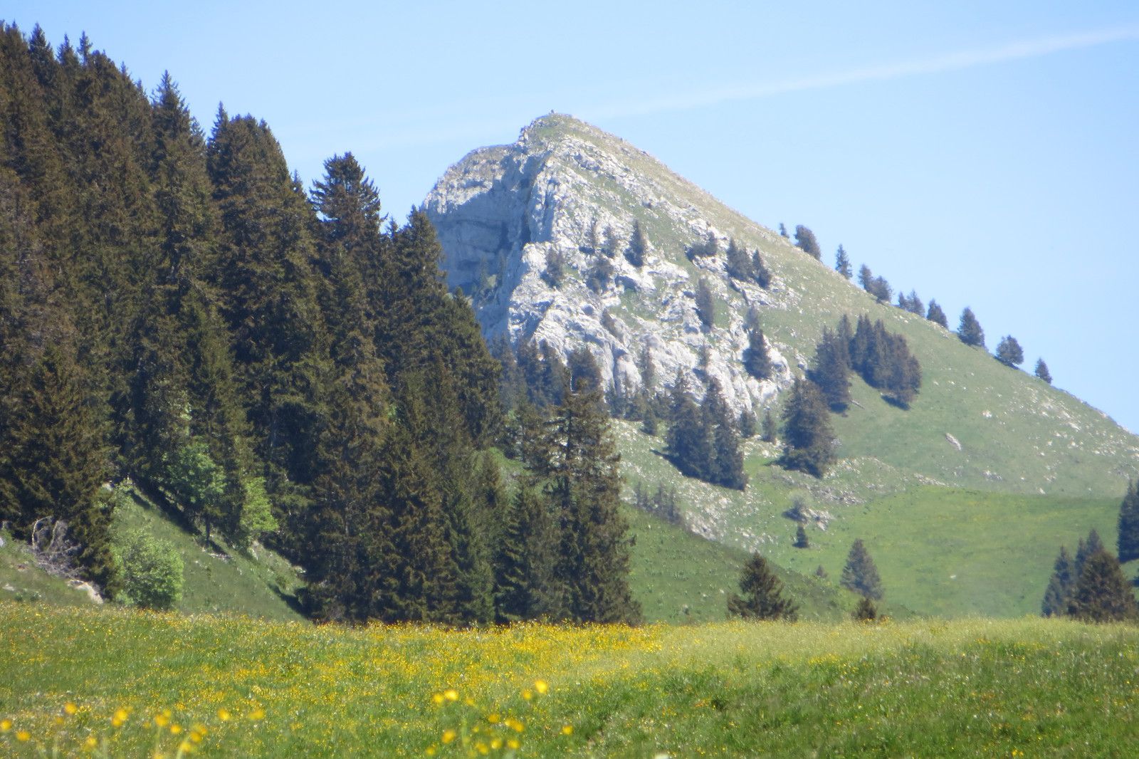
Varied hike leading to Champ Laitier, a plateau in the Bornes massif. The trail runs along the Pas du Roc waterfall and its belvedere, and with a little luck, it is even possible to see ibexes. Superb.

Already more than 200,000 users!
Uphill
447m
Highest point
1372m
Downhill
447m
Lowest point
937m
Route type
There and back
Download the map on your smartphone to save battery and rest assured to always keep access to the route, even without signal.
Includes IGN France and Swisstopo.
I indicate whether dogs are allowed or prohibited on this trail
Can be difficult in Winter
3 ratings
Dangereuse en temps pluvieux car peu être glissant. Ne pas avoir le vertige et avoir le pied sûr sur le passage rocailleux à flanc de montagne ( présence d’une chaîne à gauche mais le vide à droite )
Jolie et agréable , très beau panorama !
Passage large mais attention à ceux qui ont le vertige
Also enjoy:

Already more than 200,000 users!