Uphill
800m
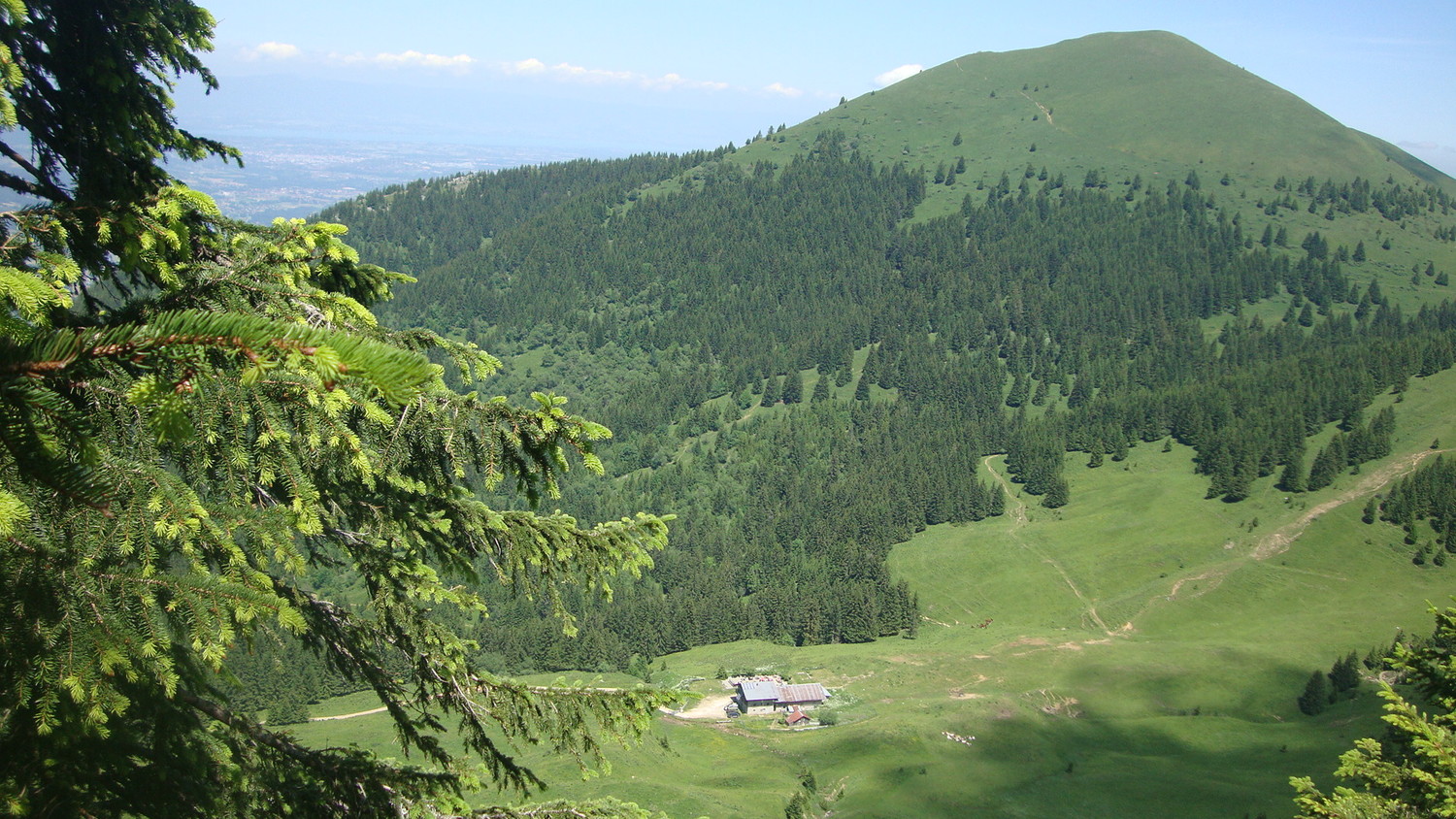
France > Auvergne-Rhône-Alpes > Haute-Savoie
Length
13km
Duration
6h
Elev gain
800m
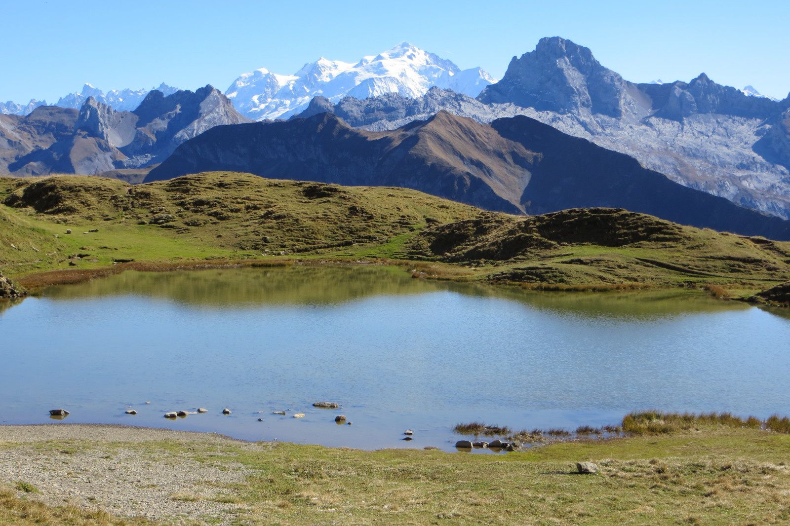
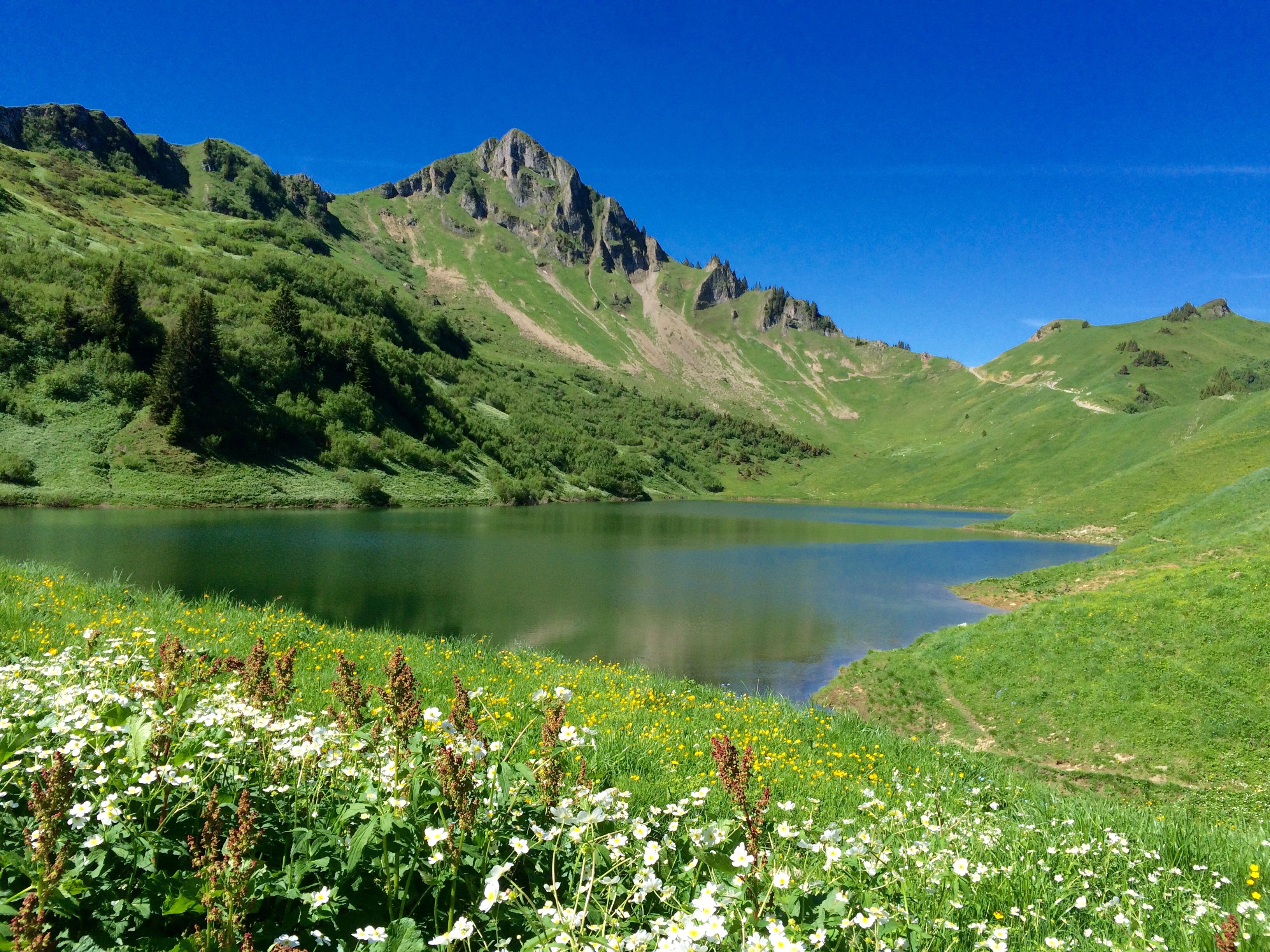
Pretty hike leading to Lac de Lessy, with breathtaking views of the valleys below.
The "Le Passe Montagne" restaurant offers a pleasant setting for a halfway break, facing the lake.

Already more than 200,000 users!
Uphill
800m
Highest point
1965m
Downhill
800m
Lowest point
1478m
Route type
There and back
Download the map on your smartphone to save battery and rest assured to always keep access to the route, even without signal.
Includes IGN France and Swisstopo.
Authorised on a leash
From May to October
2 ratings
Also enjoy:

Already more than 200,000 users!