Uphill
459m
Length
7km
Duration
3h30min
Elev gain
459m
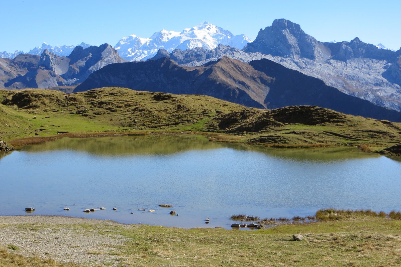
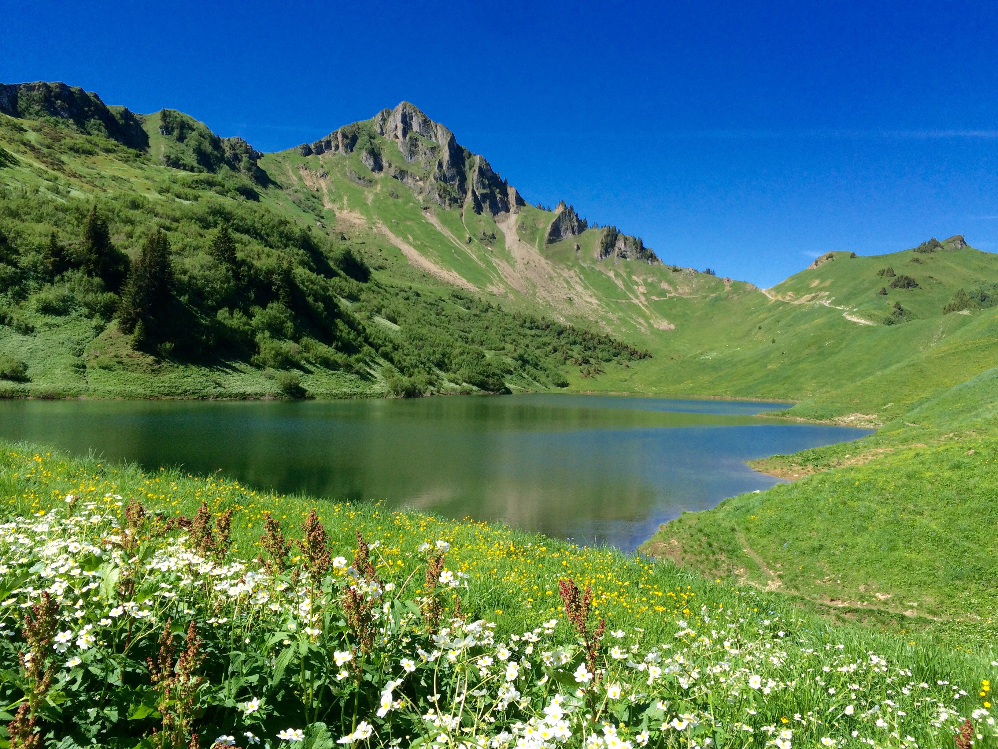
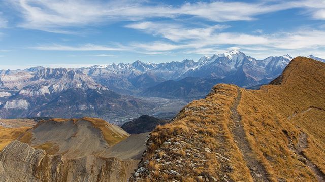
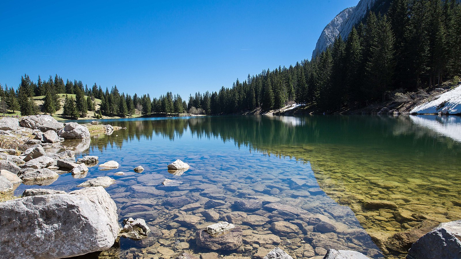
A relatively short hike, but one that climbs hard! The Bénit lake is very pretty, and bordered by a picnic area as well as a small bar.

Already more than 200,000 users!
Uphill
459m
Highest point
1568m
Downhill
459m
Lowest point
1140m
Route type
Loop
Download the map on your smartphone to save battery and rest assured to always keep access to the route, even without signal.
Includes IGN France and Swisstopo.
I indicate whether dogs are allowed or prohibited on this trail
Can be difficult in Winter
3 ratings
Also enjoy:

Already more than 200,000 users!