Uphill
353m
France > Auvergne-Rhône-Alpes > Puy-de-Dôme > Volcans d'Auvergne Regional Natural Park
Length
5km
Duration
2h30min
Elev gain
353m
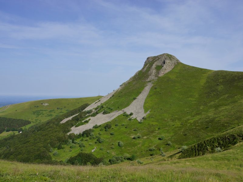
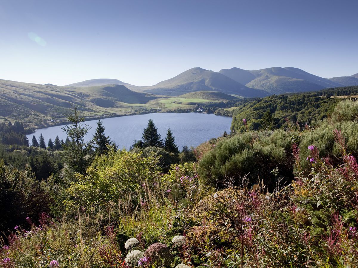
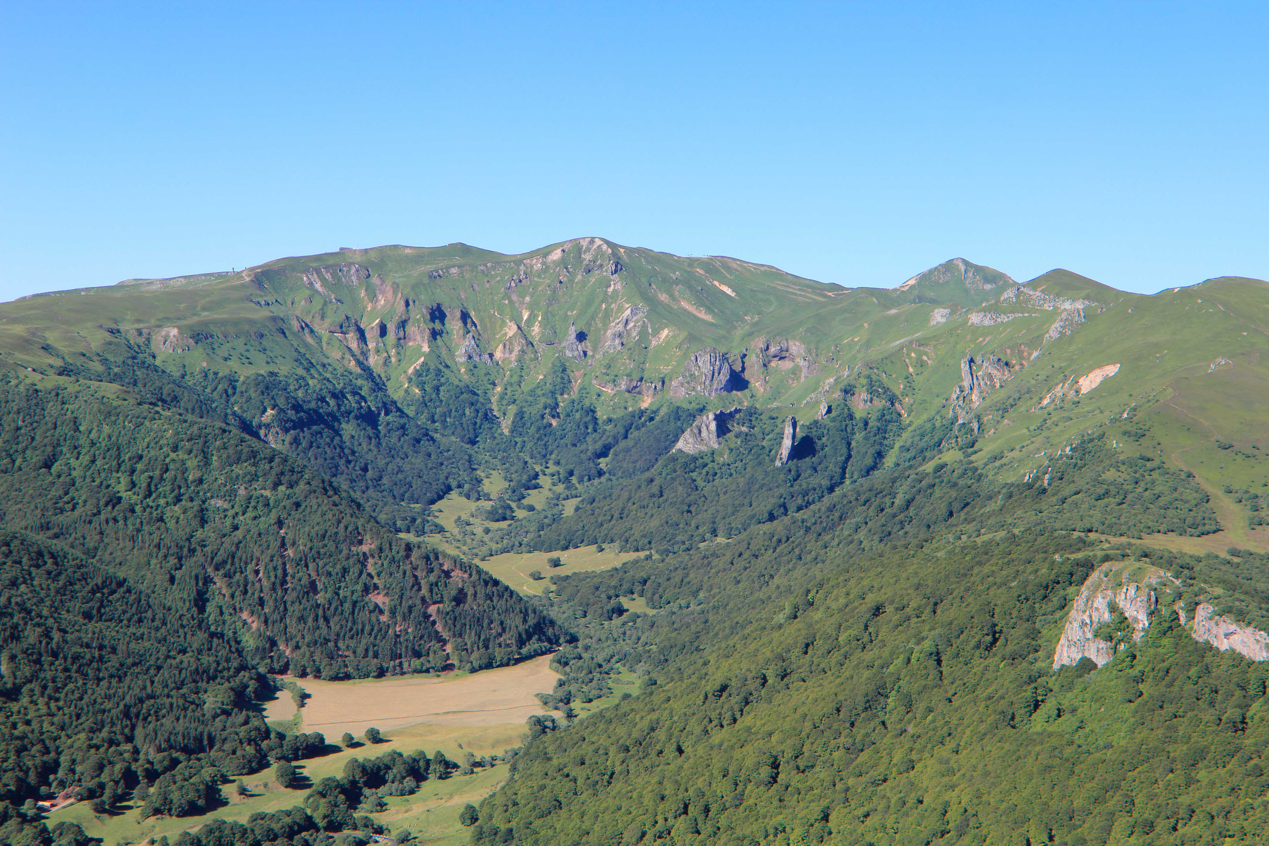
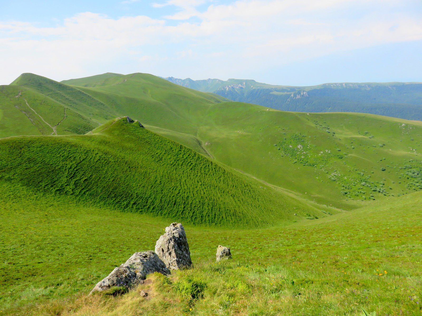
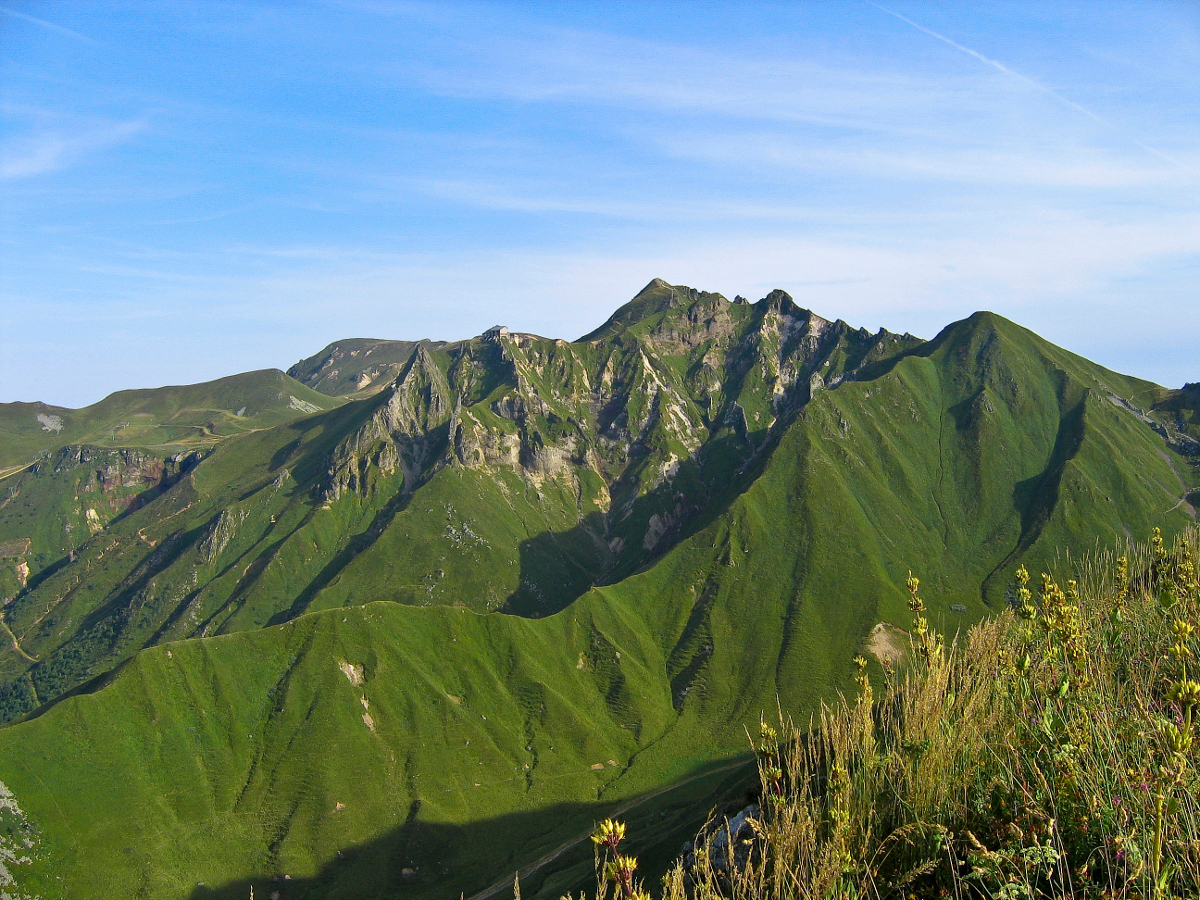
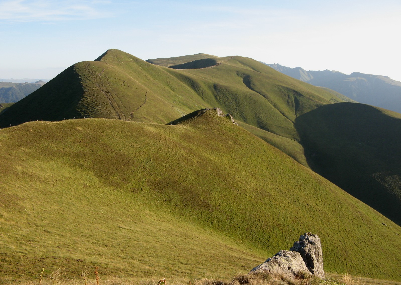
Starting from the Col de la Croix-Morand, this hike leads to the Puy de Monne (1,692m). After a nice climb and a passage to the Puy de la Tâche, the view on Sancy and the chain of Puys is magnificent.
The return is by the same path.

Already more than 200,000 users!
Uphill
353m
Highest point
1658m
Downhill
353m
Lowest point
1388m
Route type
There and back
Download the map on your smartphone to save battery and rest assured to always keep access to the route, even without signal.
Includes IGN France and Swisstopo.
I indicate whether dogs are allowed or prohibited on this trail
From May to October
2 ratings
Magnifiques 360 qui donnent l’envie de franchir le mont suivant, top !
Also enjoy:

Already more than 200,000 users!