Uphill
108m
France > Auvergne-Rhône-Alpes > Puy-de-Dôme > Volcans d'Auvergne Regional Natural Park
Length
5km
Duration
1h30min
Elev gain
108m
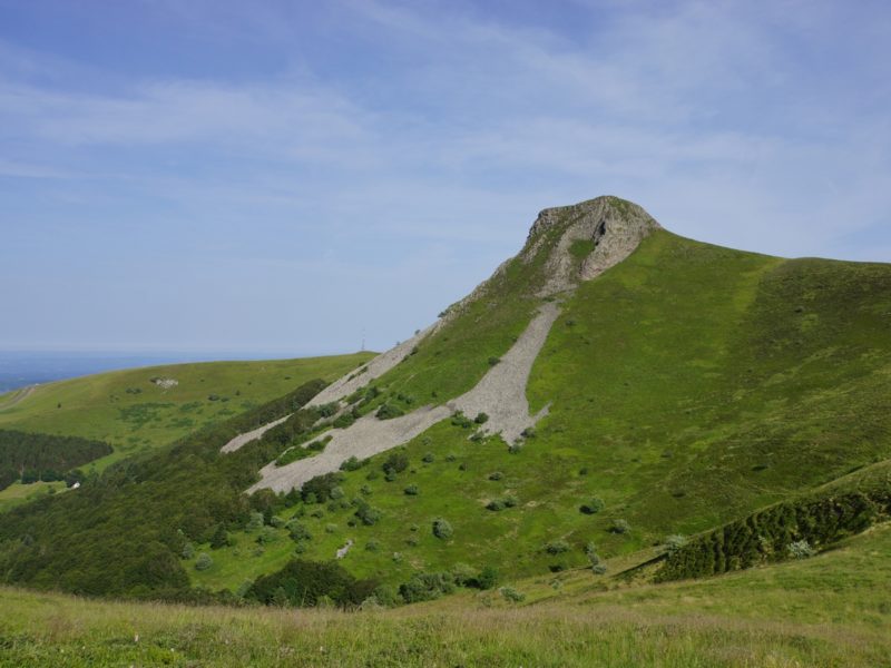
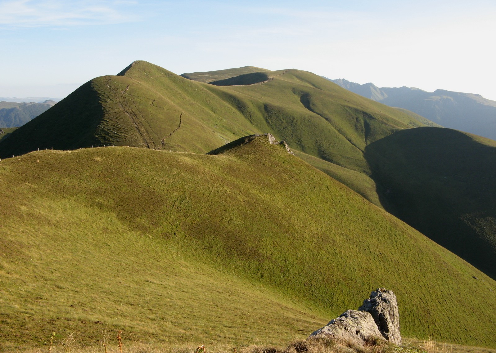
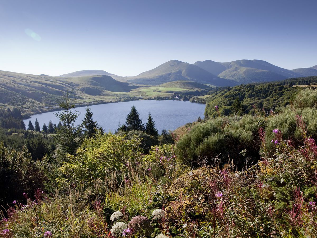
Here is a pleasant hike accessible to all. The route begins at the Col de Guéry and runs along the lake before gaining height. The trail offers lovely views of the Massif du Sancy and the Puys range.

Already more than 200,000 users!
Uphill
108m
Highest point
1339m
Downhill
108m
Lowest point
1240m
Route type
Loop
Download the map on your smartphone to save battery and rest assured to always keep access to the route, even without signal.
Includes IGN France and Swisstopo.
I indicate whether dogs are allowed or prohibited on this trail
Can be difficult in Winter
9 ratings
This hike had great views of the Chain des Puys. A nice length with some elevation gain. Some paths are overgrown so long trousers are recommended.
Also enjoy:

Already more than 200,000 users!