Uphill
444m
France > Auvergne-Rhône-Alpes > Puy-de-Dôme > Volcans d'Auvergne Regional Natural Park
Length
13km
Duration
4h30min
Elev gain
444m
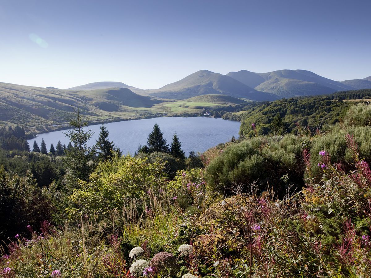
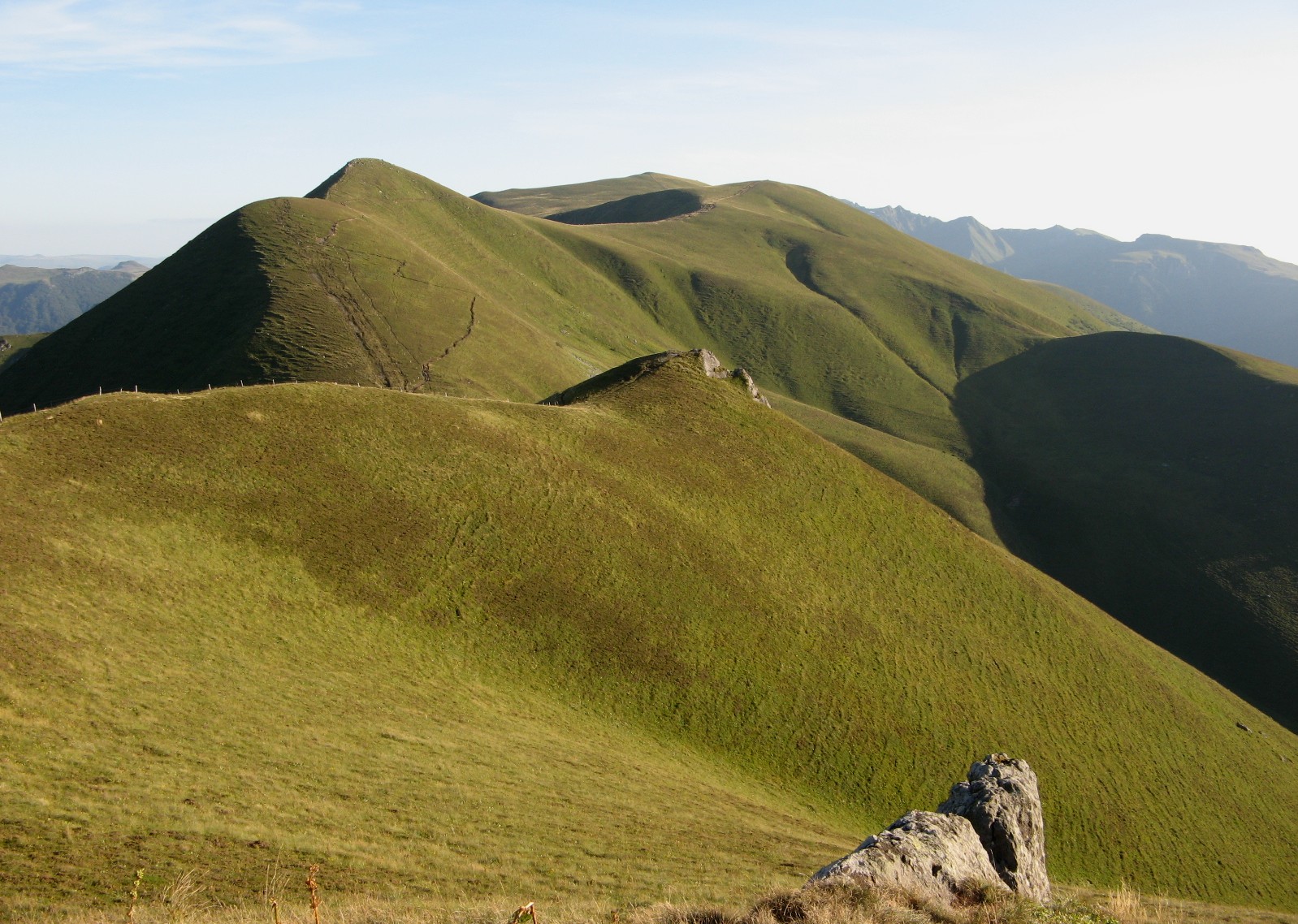
Departing from Lake Guéry, this trail allows you to discover the immense plateau of the same name, famous for its wild grasses and its numerous herds. These are definitely postcard landscapes.

Already more than 200,000 users!
Uphill
444m
Highest point
1486m
Downhill
444m
Lowest point
1240m
Route type
Loop
Download the map on your smartphone to save battery and rest assured to always keep access to the route, even without signal.
Includes IGN France and Swisstopo.
Authorised on a leash
Can be difficult in Winter
4 ratings
Also enjoy:

Already more than 200,000 users!