Uphill
539m
France > Auvergne-Rhône-Alpes > Puy-de-Dôme > Volcans d'Auvergne Regional Natural Park
Length
7km
Duration
4h
Elev gain
539m
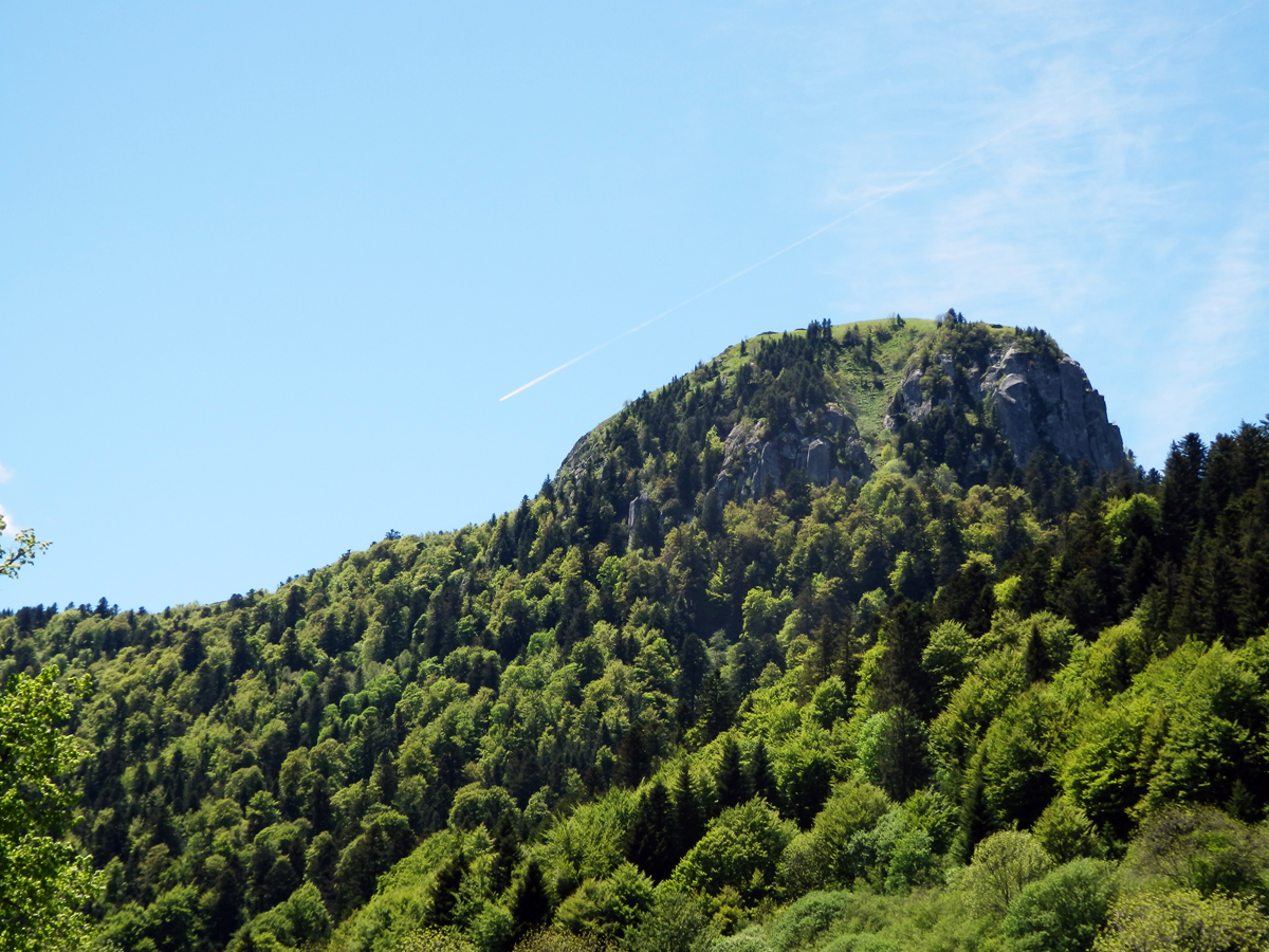
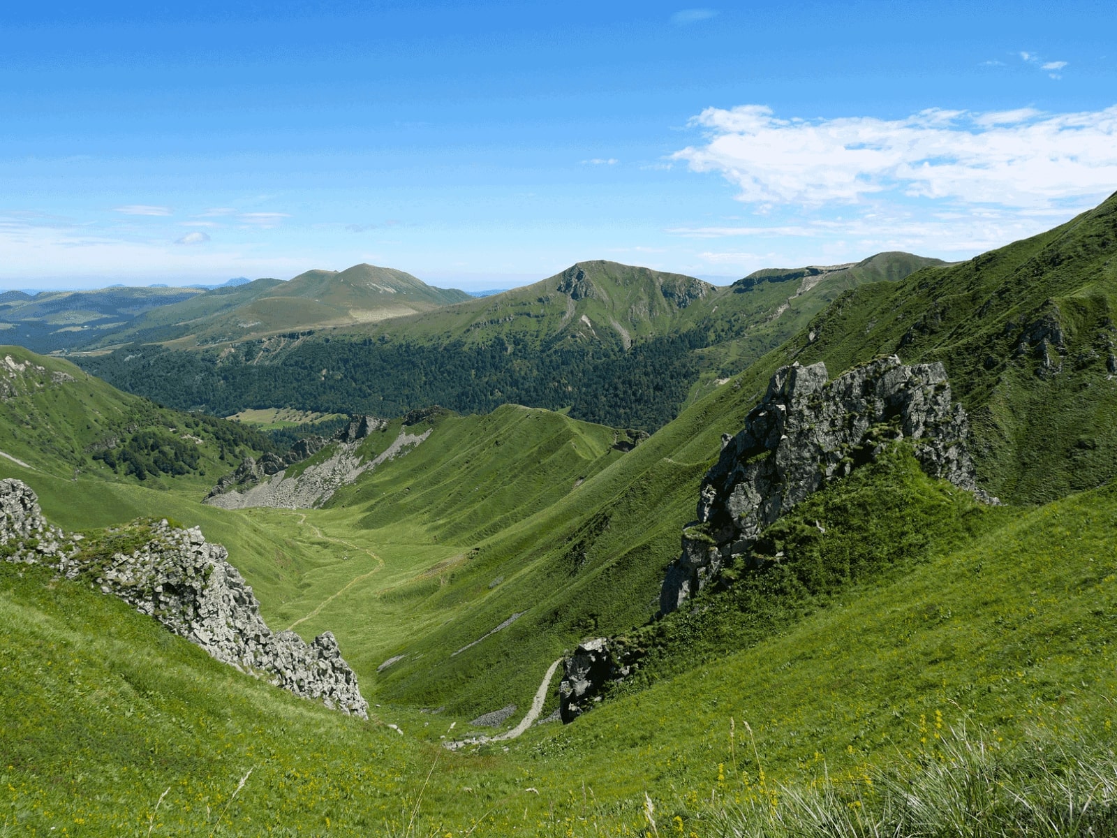
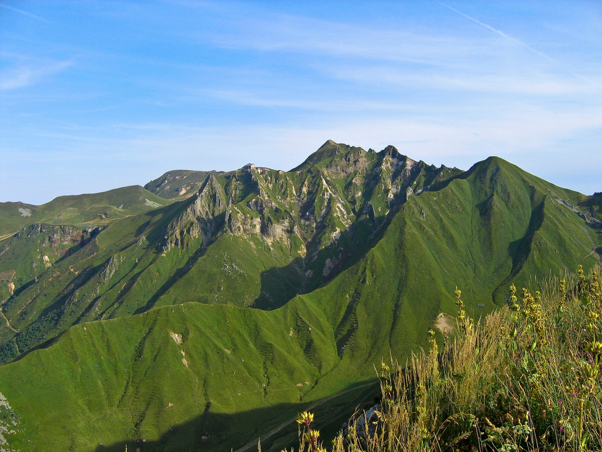
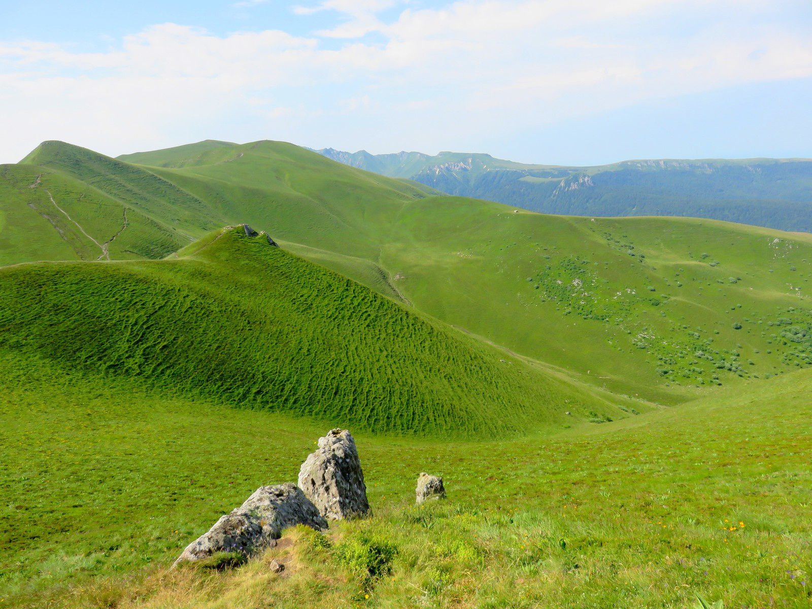
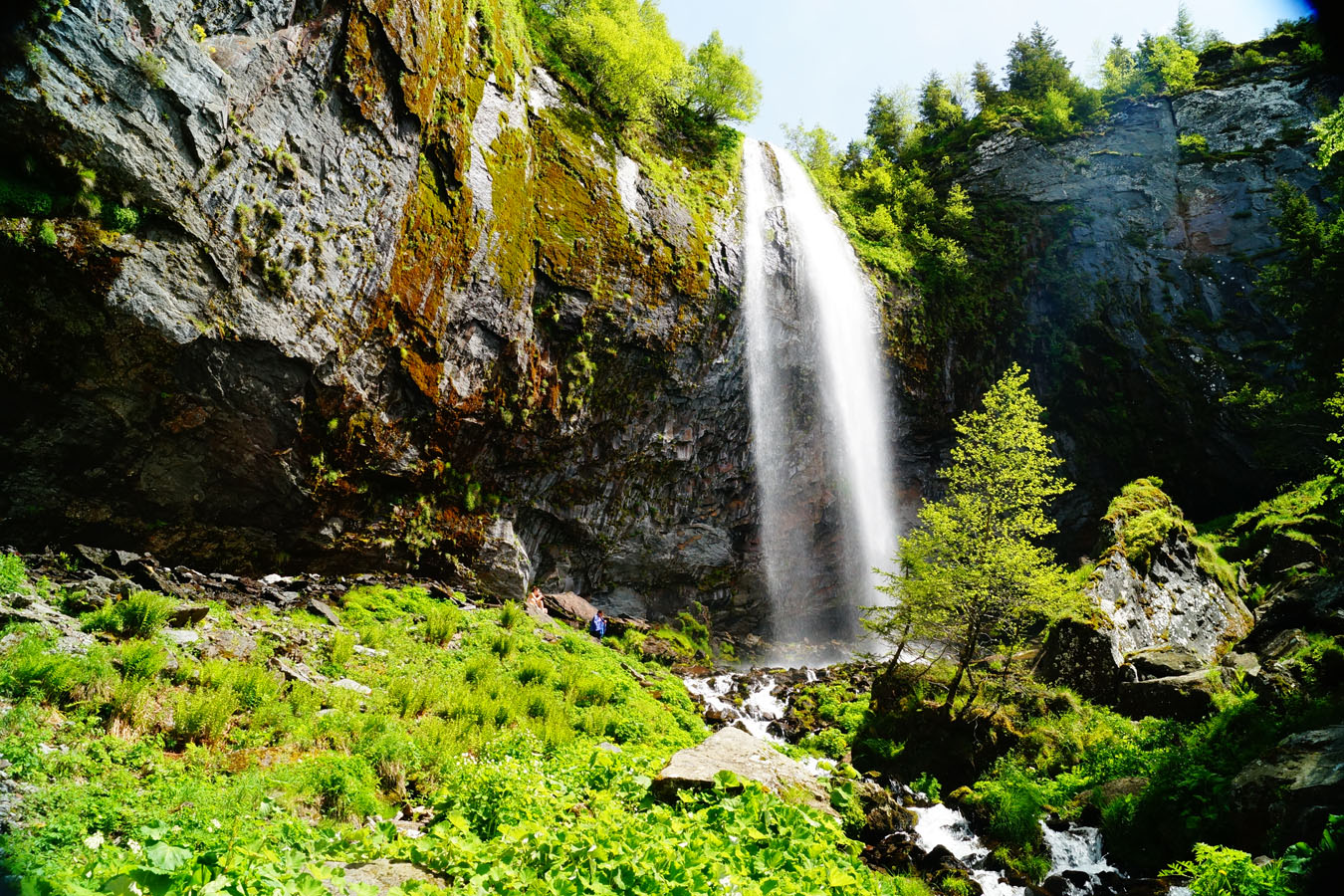
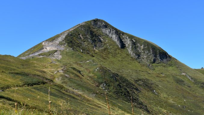
The 1,885 meters of the Puy de Sancy constitute the highest point of the Massif Central. Its rugged crests offer magnificent views of the Mont-Dore valley, while crossing the Val de Courre presents pristine landscapes. An must-see hike in the region.

Already more than 200,000 users!
Uphill
539m
Highest point
1849m
Downhill
539m
Lowest point
1312m
Route type
Loop
Download the map on your smartphone to save battery and rest assured to always keep access to the route, even without signal.
Includes IGN France and Swisstopo.
Parking du Pied du Sancy, paid from May to November.
Or free parking a little further, near the Chalet du Sancy.
I indicate whether dogs are allowed or prohibited on this trail
From May to October
6 ratings
Also enjoy:

Already more than 200,000 users!