Uphill
677m
Length
8km
Duration
4h30min
Elev gain
677m
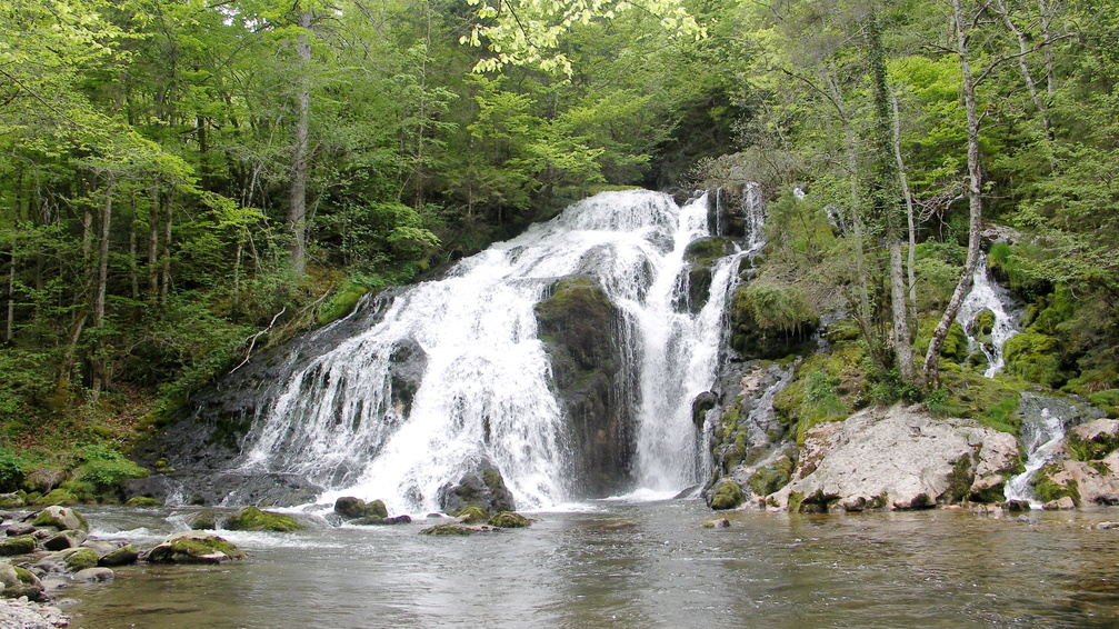
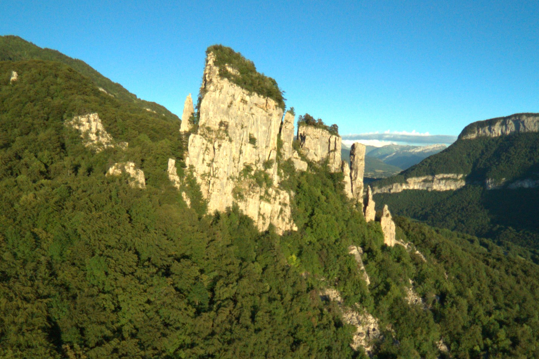
Walk in the woods, appreciable during the heat of summer. The Saint-Jacques towers are three limestone monoliths detached from the cliff.

Already more than 200,000 users!
Uphill
677m
Highest point
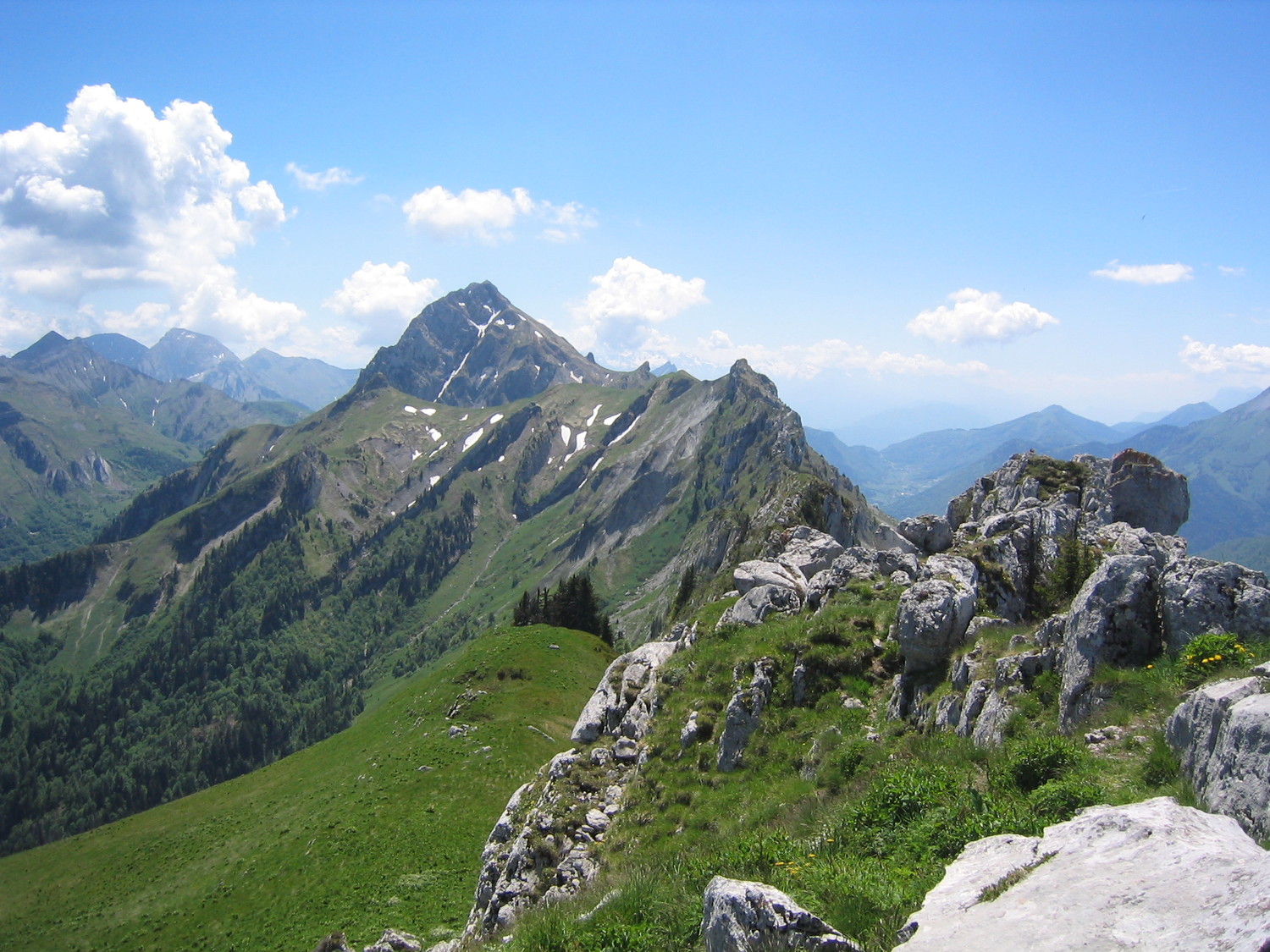
1272m
Downhill
677m
Lowest point
676m
Route type
Loop
Download the map on your smartphone to save battery and rest assured to always keep access to the route, even without signal.
Includes IGN France and Swisstopo.
I indicate whether dogs are allowed or prohibited on this trail
Can be difficult in Winter
1 rating
Also enjoy:

Already more than 200,000 users!