Uphill
191m
Length
10km
Duration
3h
Elev gain
191m
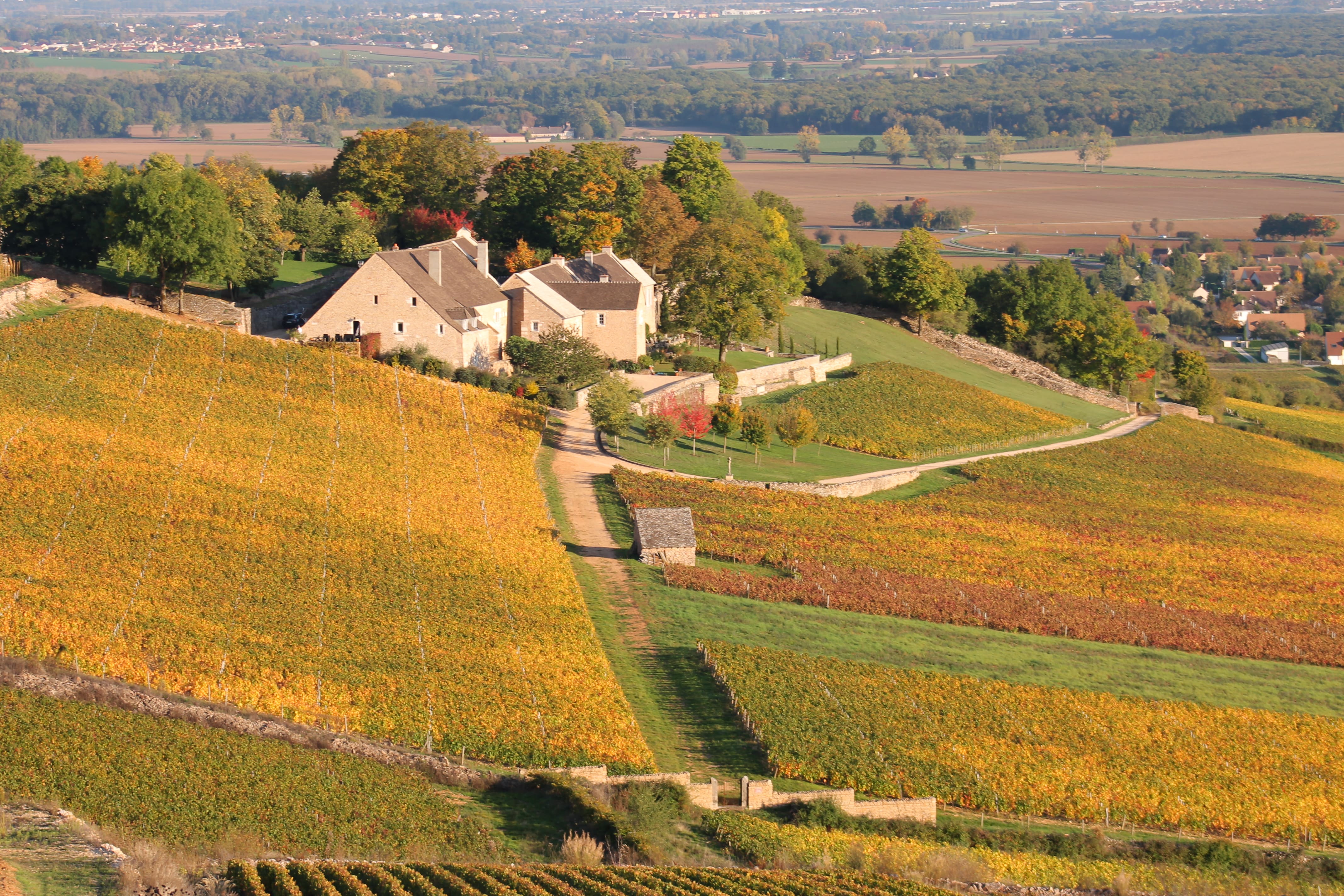
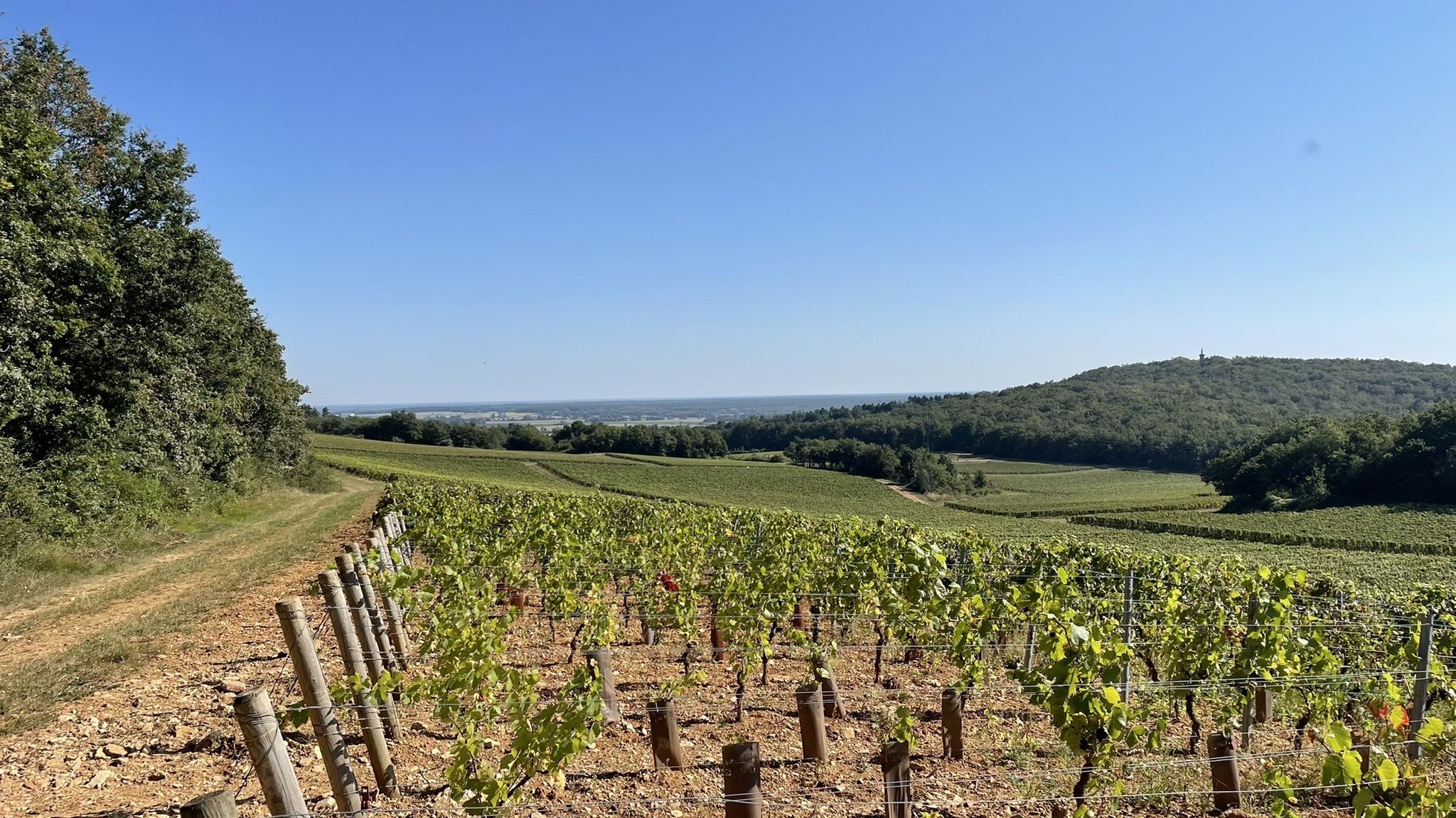
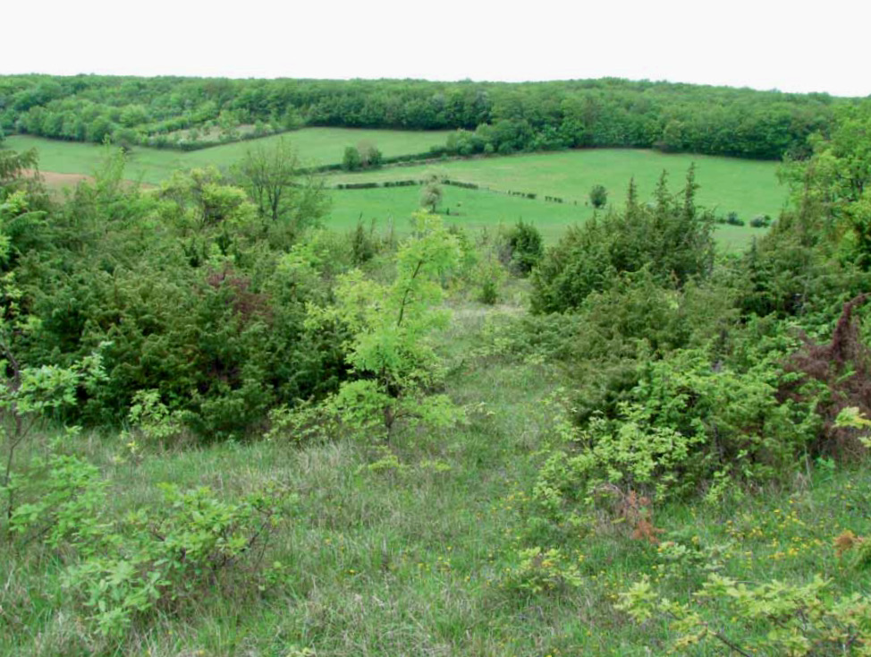
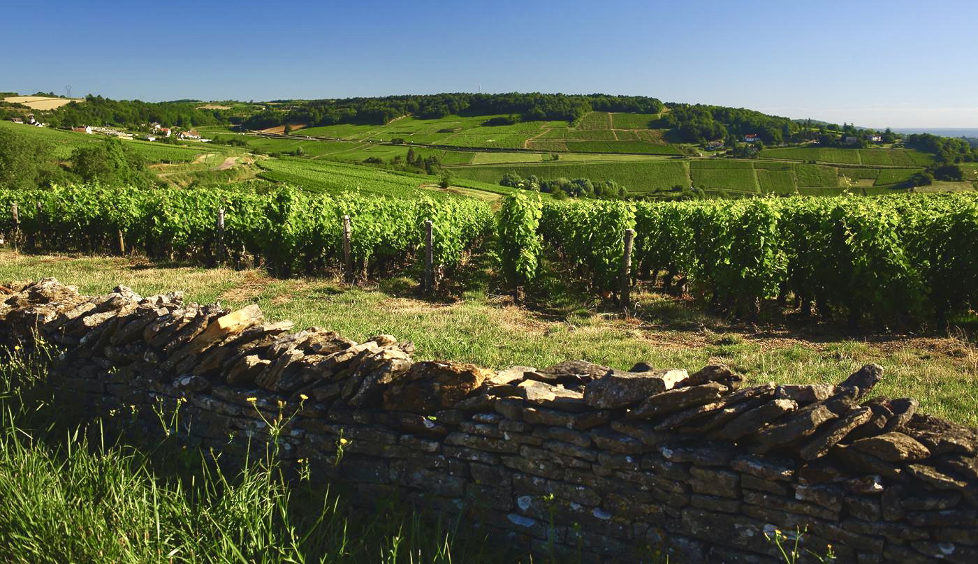
Departing from Saint-Vallerin, this route makes a nice loop around Mount Bouzu. Between vineyards, forests and meadows, this path takes a little height to offer views of the surroundings.

Already more than 200,000 users!
Uphill
191m
Highest point
426m
Downhill
191m
Lowest point
319m
Route type
Loop
Download the map on your smartphone to save battery and rest assured to always keep access to the route, even without signal.
Includes IGN France and Swisstopo.
I indicate whether dogs are allowed or prohibited on this trail
All year
2 ratings
Rando super sympa !
Also enjoy:

Already more than 200,000 users!