Uphill
190m
France > Bourgogne-Franche-Comté > Saône-et-Loire
Length
9km
Duration
3h
Elev gain
190m
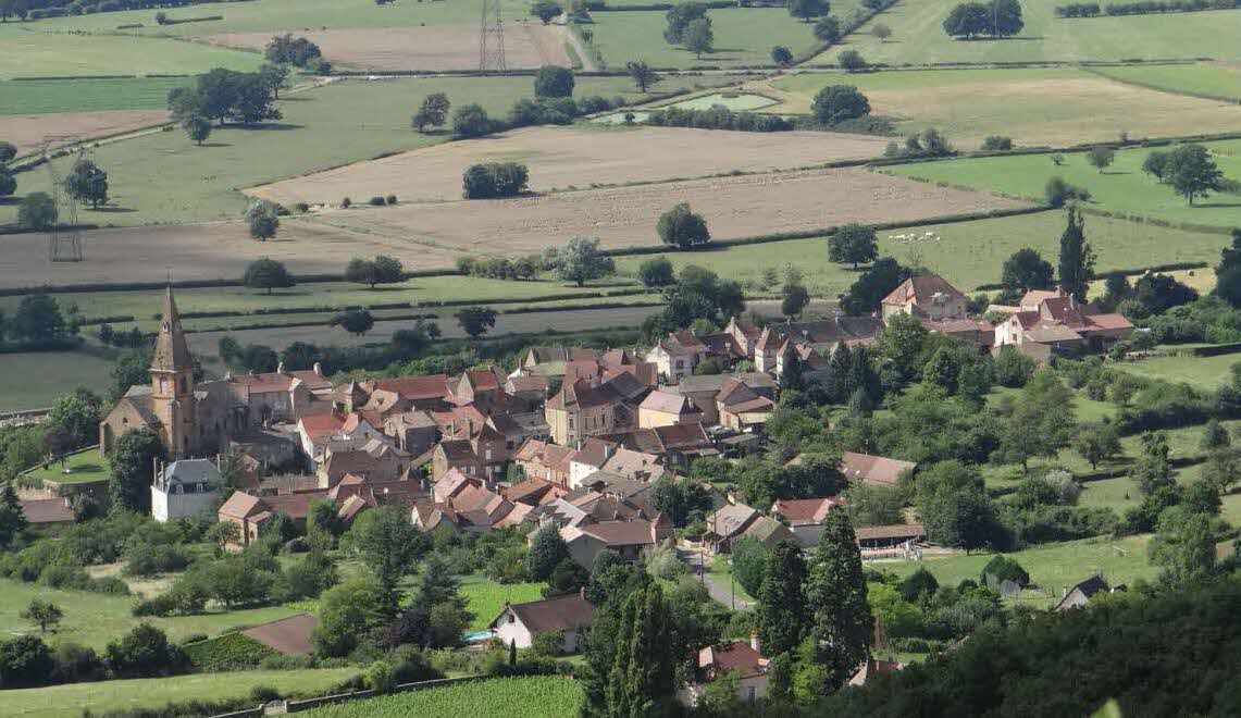
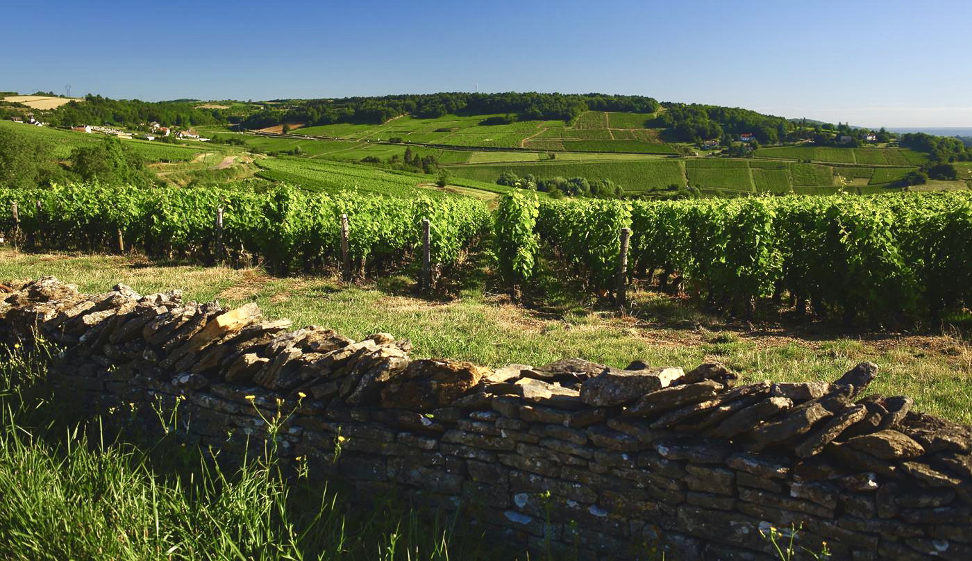
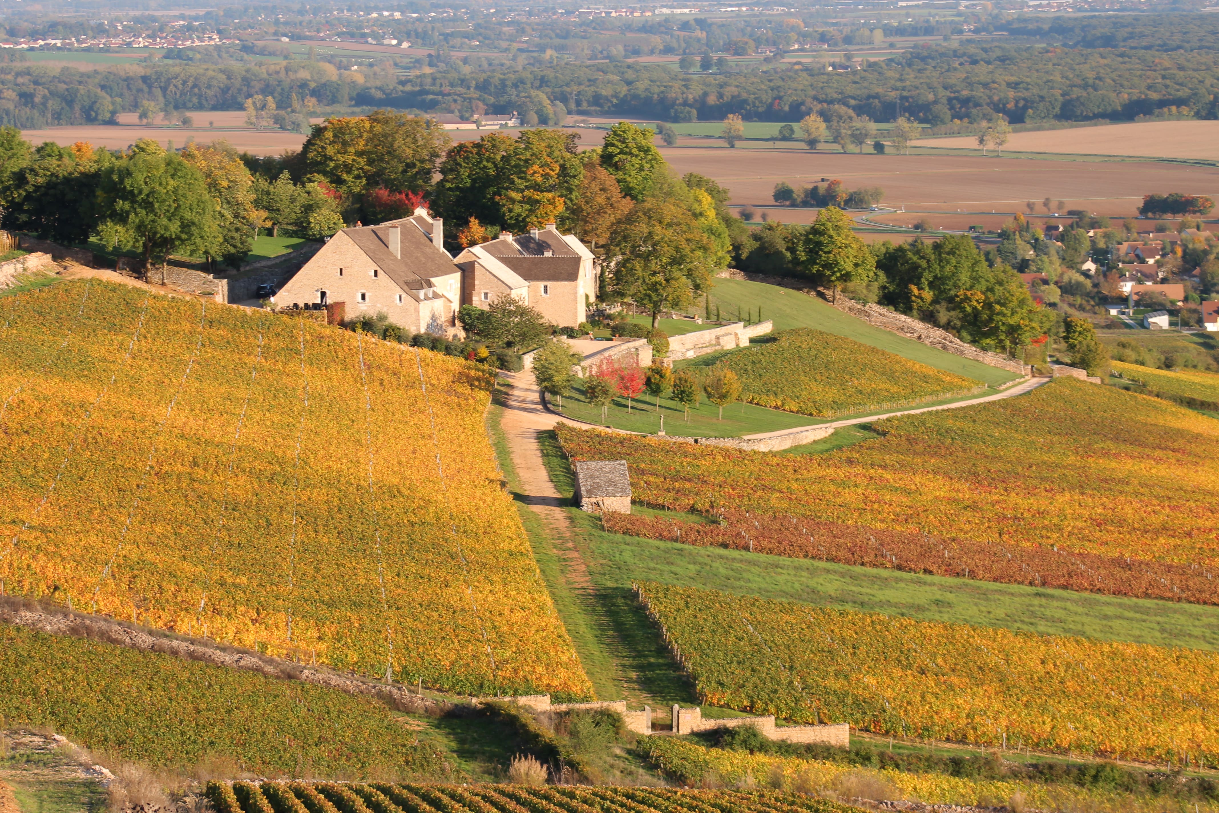
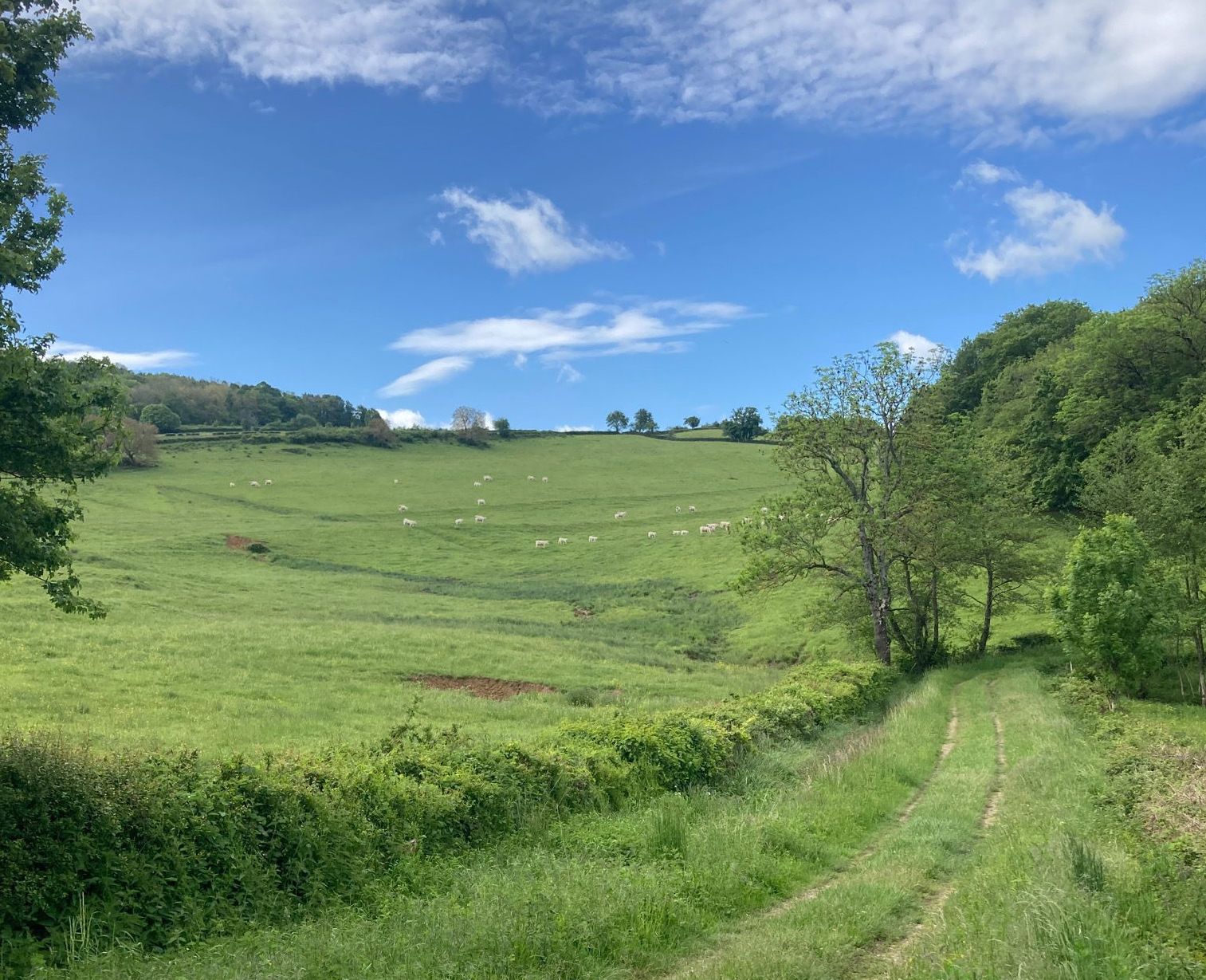
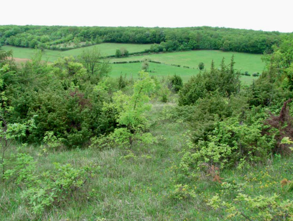
Here is a nice hike north of the Mâconnais mountains, starting from Vincelles. The route, mainly forest, makes a loop between the villages of Vincelles and Montceaux-Ragny, and passes very close to the castle of Ruffey.

Already more than 200,000 users!
Uphill
190m
Highest point
359m
Downhill
190m
Lowest point
194m
Route type
Loop
Download the map on your smartphone to save battery and rest assured to always keep access to the route, even without signal.
Includes IGN France and Swisstopo.
I indicate whether dogs are allowed or prohibited on this trail
All year
1 rating
Also enjoy:

Already more than 200,000 users!