Uphill
35m
Length
3km
Duration
1h
Elev gain
35m
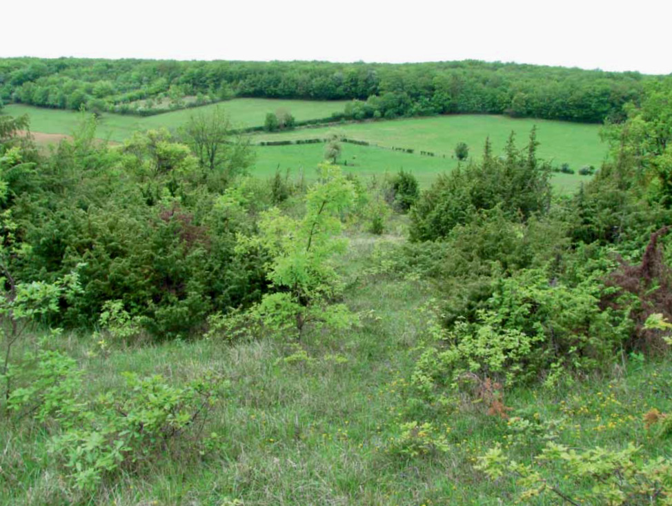
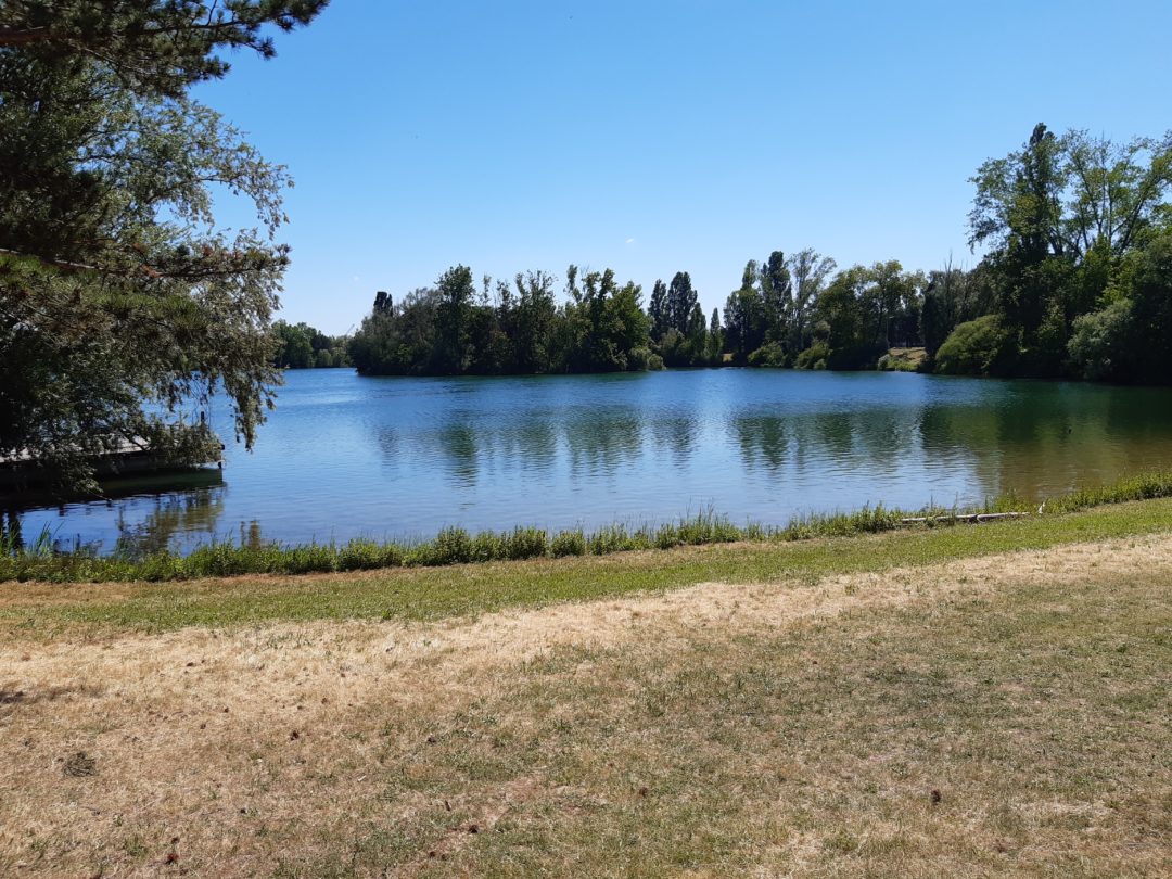
Nice family-friendly walk in Chalon-sur-Saône. The route circles the Lac des Prés Saint-Jean, bordered by meadows and undergrowth.

Already more than 200,000 users!
Uphill
35m
Highest point
190m
Downhill
35m
Lowest point
167m
Route type
Loop
Download the map on your smartphone to save battery and rest assured to always keep access to the route, even without signal.
Includes IGN France and Swisstopo.
I indicate whether dogs are allowed or prohibited on this trail
All year
1 rating
Also enjoy:

Already more than 200,000 users!