Uphill
177m
Length
5km
Duration
1h30min
Elev gain
177m
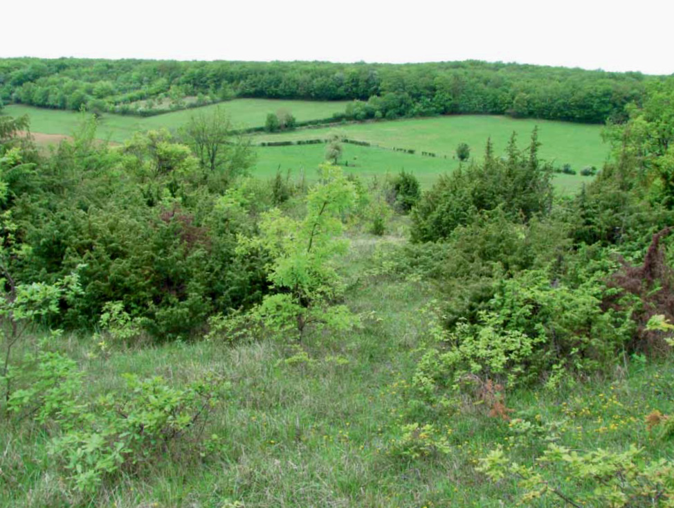
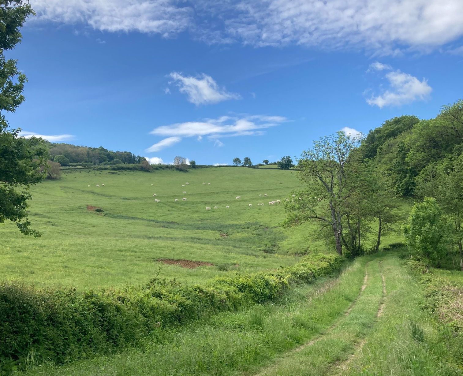
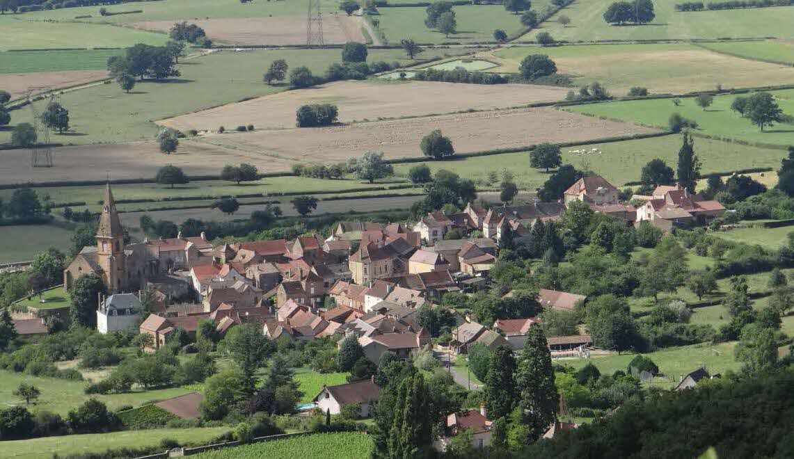
Pretty walk near Mancey, leading to the belvedere of the rock of Aujoux. This route takes place mainly in the forest and presents some technical passages in certain places.

Already more than 200,000 users!
Uphill
177m
Highest point
490m
Downhill
177m
Lowest point
321m
Route type
Loop
Download the map on your smartphone to save battery and rest assured to always keep access to the route, even without signal.
Includes IGN France and Swisstopo.
I indicate whether dogs are allowed or prohibited on this trail
All year
2 ratings
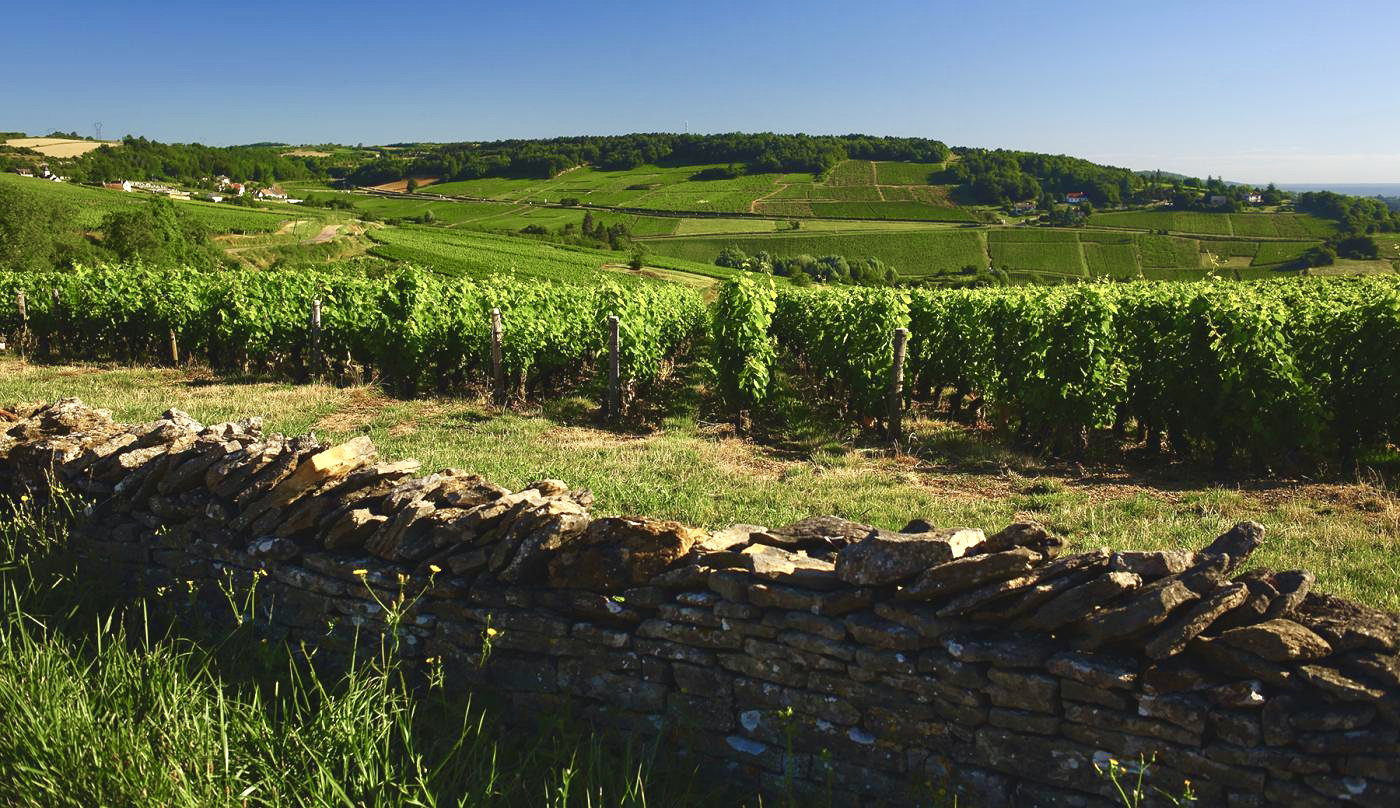
Also enjoy:

Already more than 200,000 users!