Uphill
320m
France > Bourgogne-Franche-Comté > Doubs
Length
10km
Duration
3h30min
Elev gain
320m
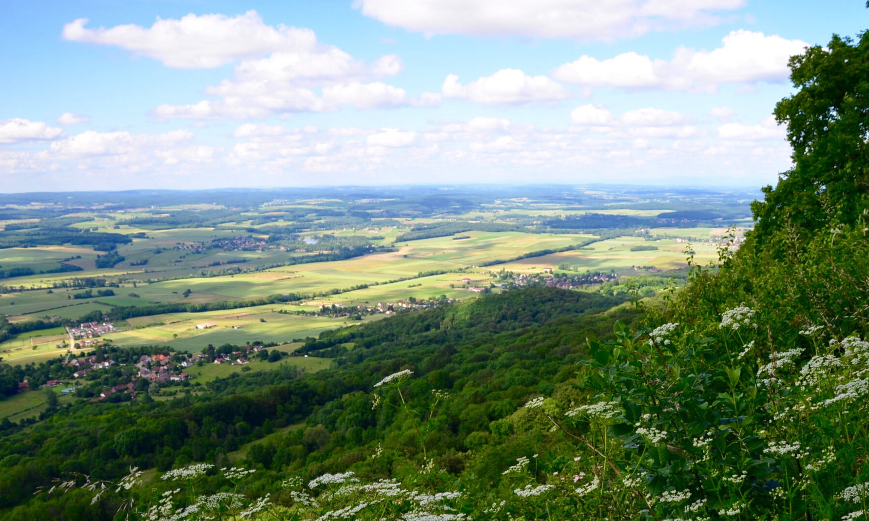
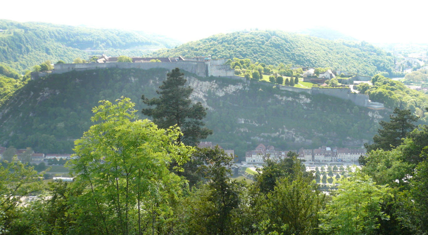
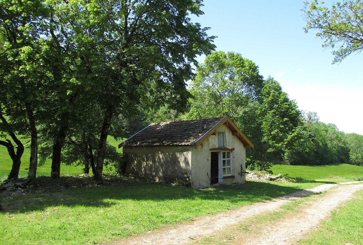
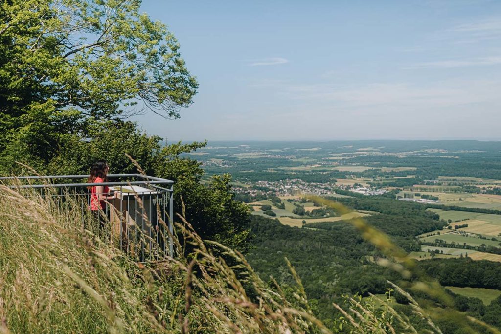
Departing from Châtillon-le-Duc, this route follows a crest to the belvedere of the Fort de la Dame Blanche.
Numerous and pretty views over the Ognon valley.

Already more than 200,000 users!
Uphill
320m
Highest point
602m
Downhill
320m
Lowest point
336m
Route type
Loop
Download the map on your smartphone to save battery and rest assured to always keep access to the route, even without signal.
Includes IGN France and Swisstopo.
I indicate whether dogs are allowed or prohibited on this trail
All year
2 ratings
Also enjoy:

Already more than 200,000 users!