Uphill
149m
Length
6km
Duration
2h
Elev gain
149m
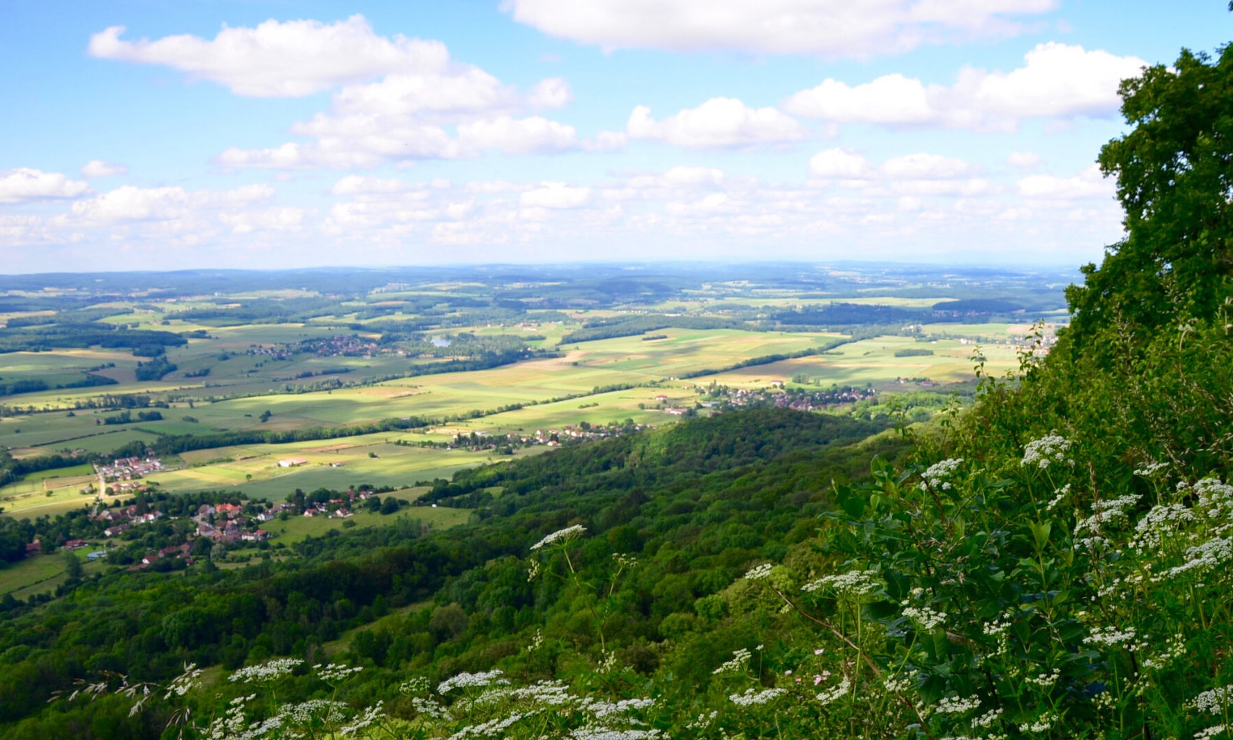
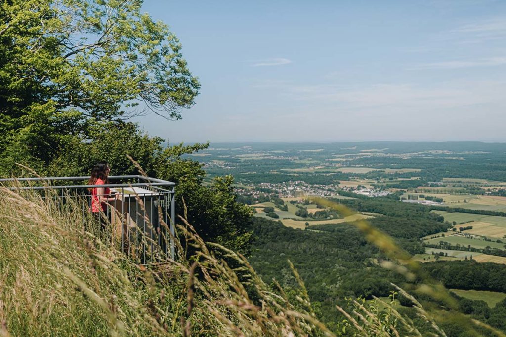
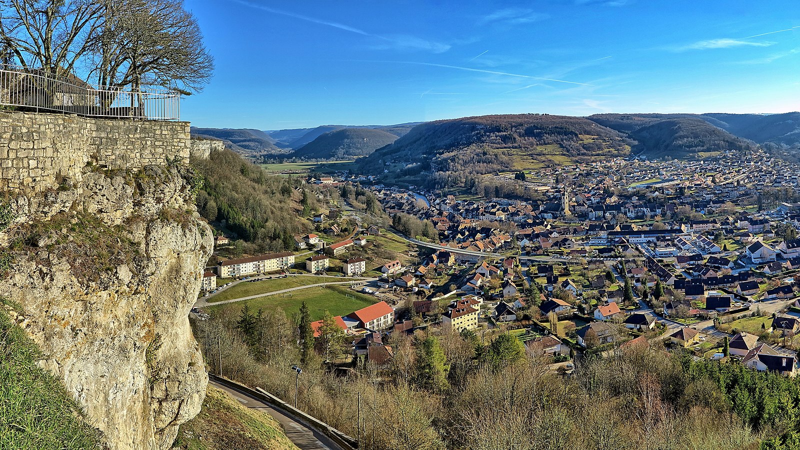
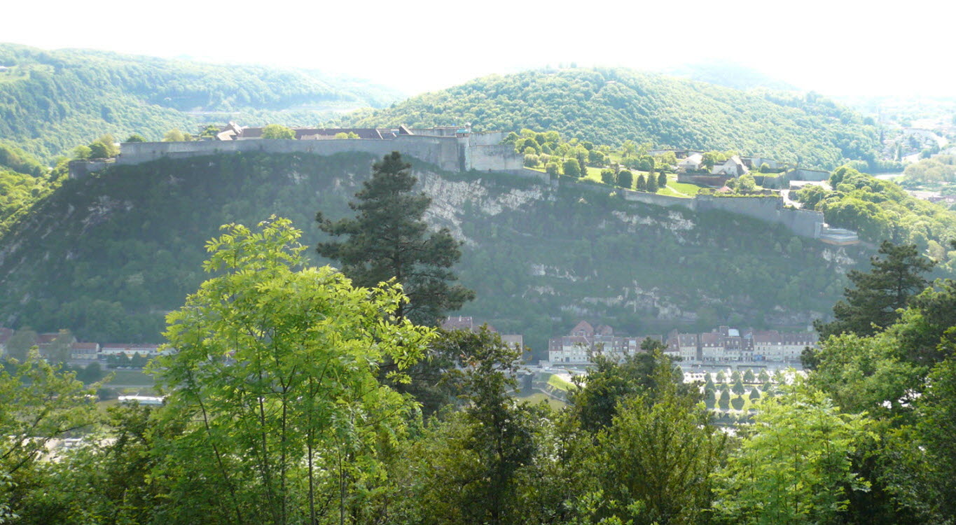
Walk on the fourth highest hill in Besançon (447 m) which allows you to enjoy pretty views of the Doubs and the Vauban citadel, as well as a large forest.

Already more than 200,000 users!
Uphill
149m
Highest point
438m
Downhill
149m
Lowest point
352m
Route type
Loop
Download the map on your smartphone to save battery and rest assured to always keep access to the route, even without signal.
Includes IGN France and Swisstopo.
I indicate whether dogs are allowed or prohibited on this trail
All year
0 ratings
Also enjoy:

Already more than 200,000 users!