Uphill
167m
Length
5km
Duration
1h30min
Elev gain
167m
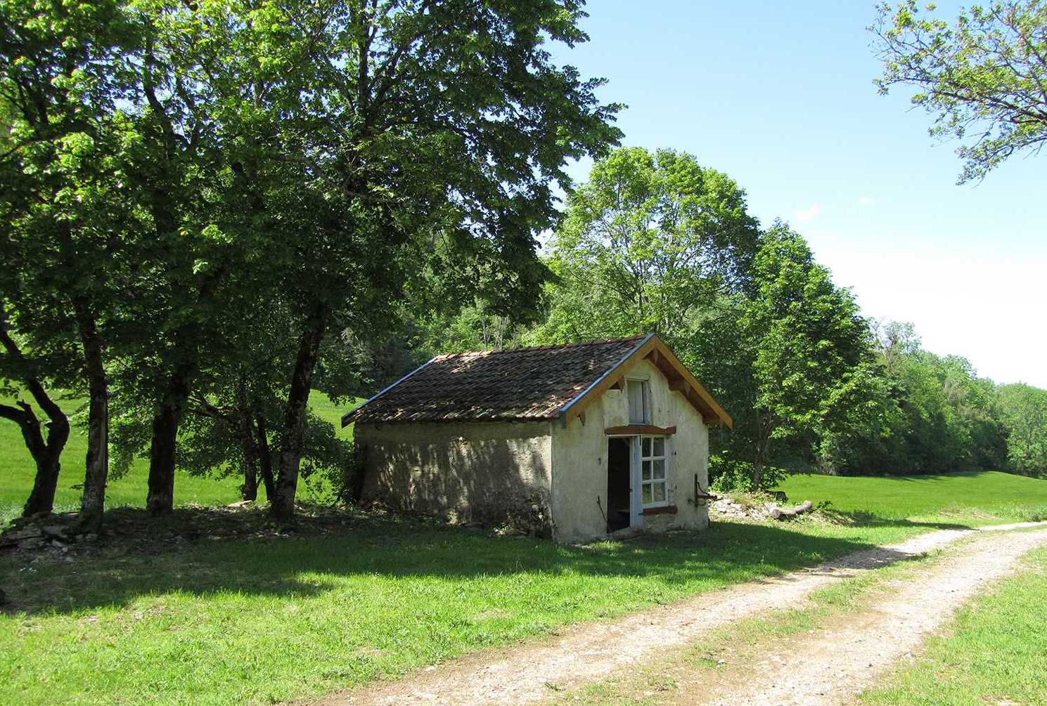
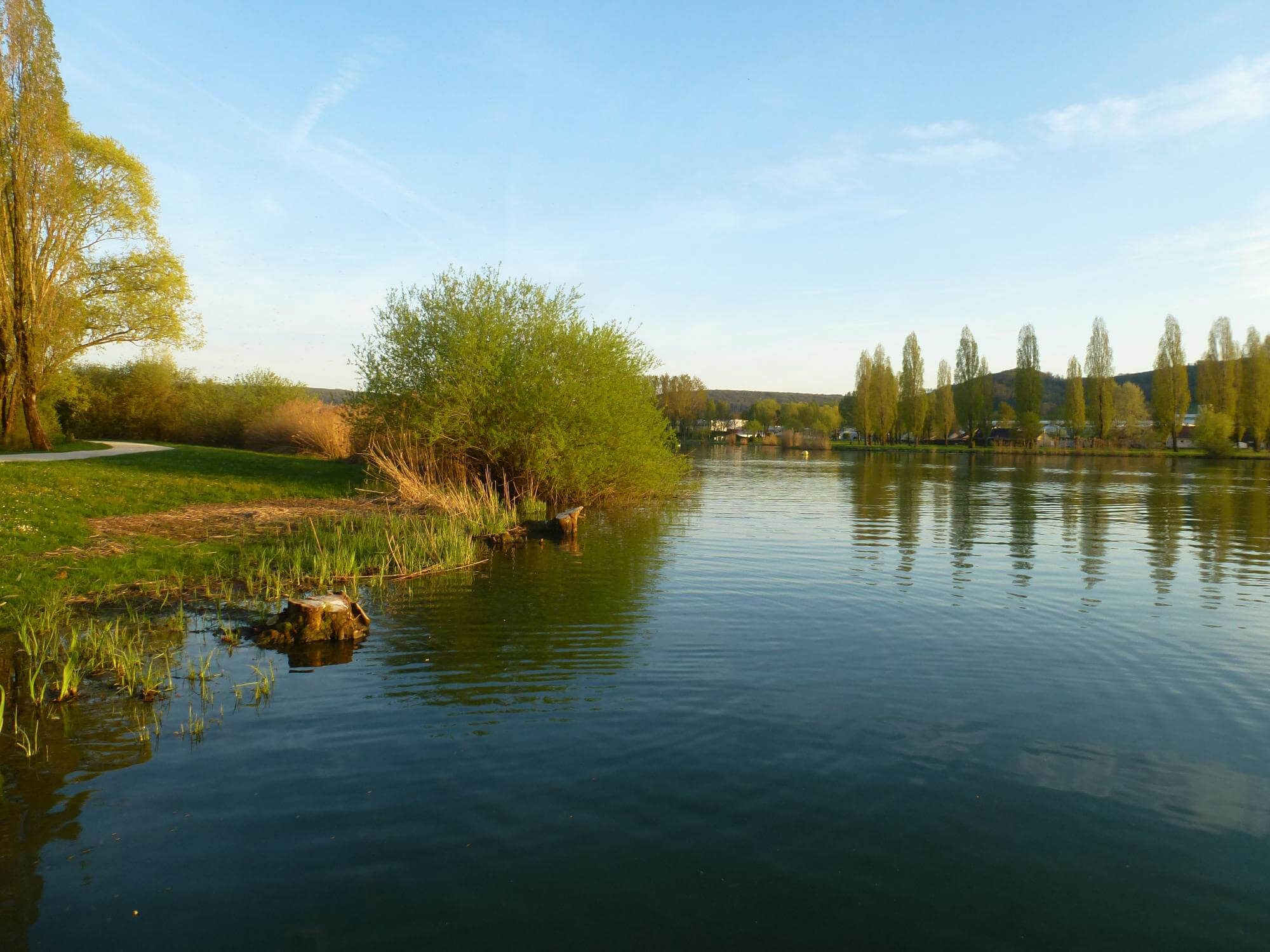
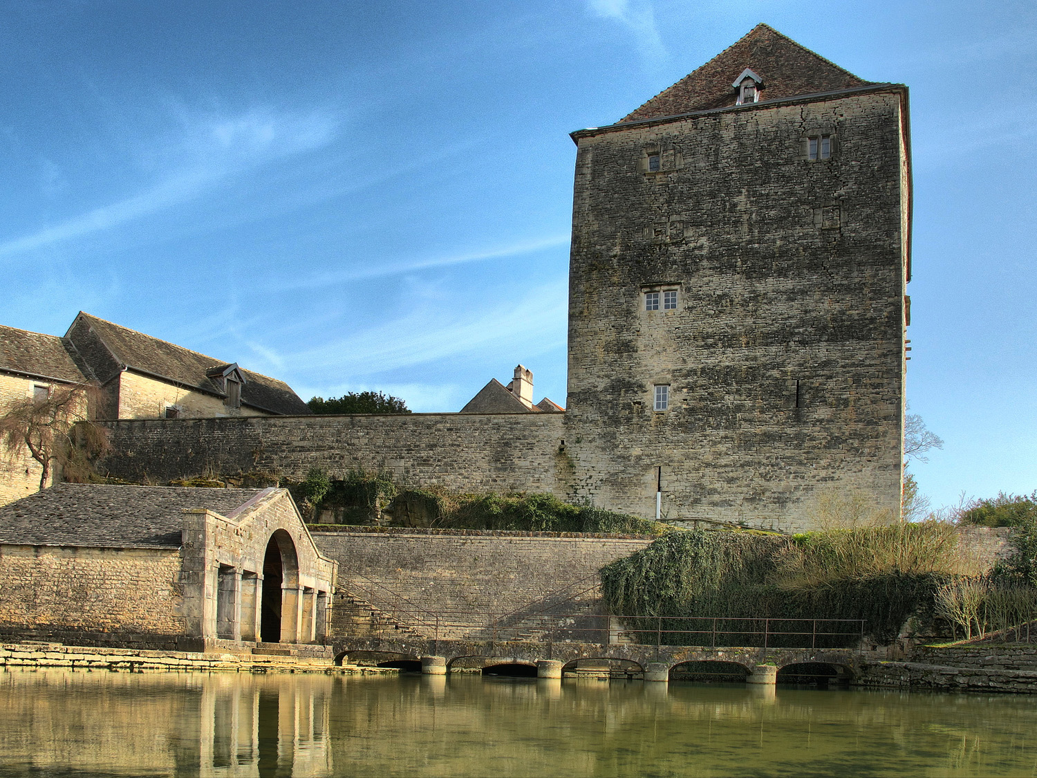
Here is a pleasant walk around Fondremand. The path runs along the river and rushes into the forest, then returns through the charming medieval village and its castle to end this short walk.

Already more than 200,000 users!
Uphill
167m
Highest point
400m
Downhill
167m
Lowest point
246m
Route type
Loop
Download the map on your smartphone to save battery and rest assured to always keep access to the route, even without signal.
Includes IGN France and Swisstopo.
I indicate whether dogs are allowed or prohibited on this trail
All year
1 rating
Also enjoy:

Already more than 200,000 users!