Uphill
69m
Length
5km
Duration
1h30min
Elev gain
69m
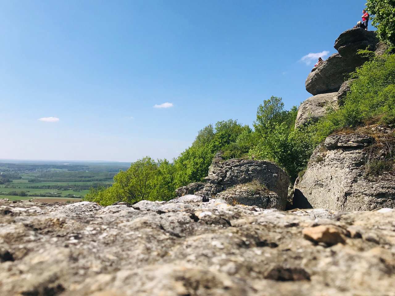
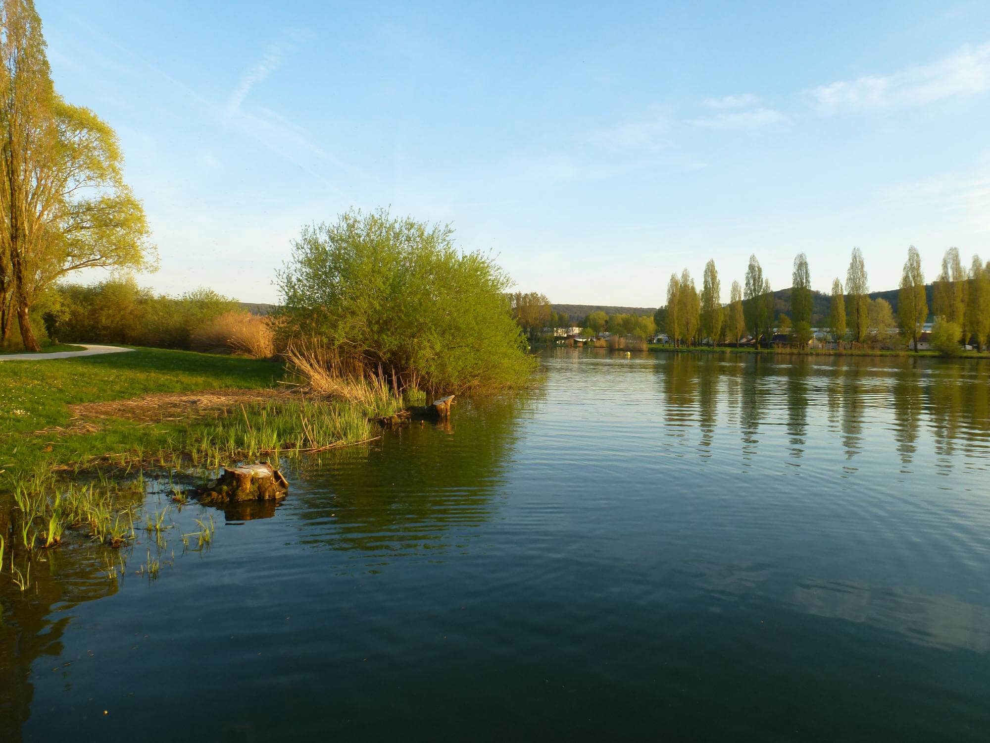
Pretty family walk around the lake of Vesoul-Vaivre, located near the town of Vesoul. The route goes around this artificial lake on a path with playgrounds, picnic tables and a sandy beach at the starting point.

Already more than 200,000 users!
Uphill
69m
Highest point
221m
Downhill
69m
Lowest point
178m
Route type
Loop
Download the map on your smartphone to save battery and rest assured to always keep access to the route, even without signal.
Includes IGN France and Swisstopo.
I indicate whether dogs are allowed or prohibited on this trail
All year
0 ratings
Also enjoy:

Already more than 200,000 users!